
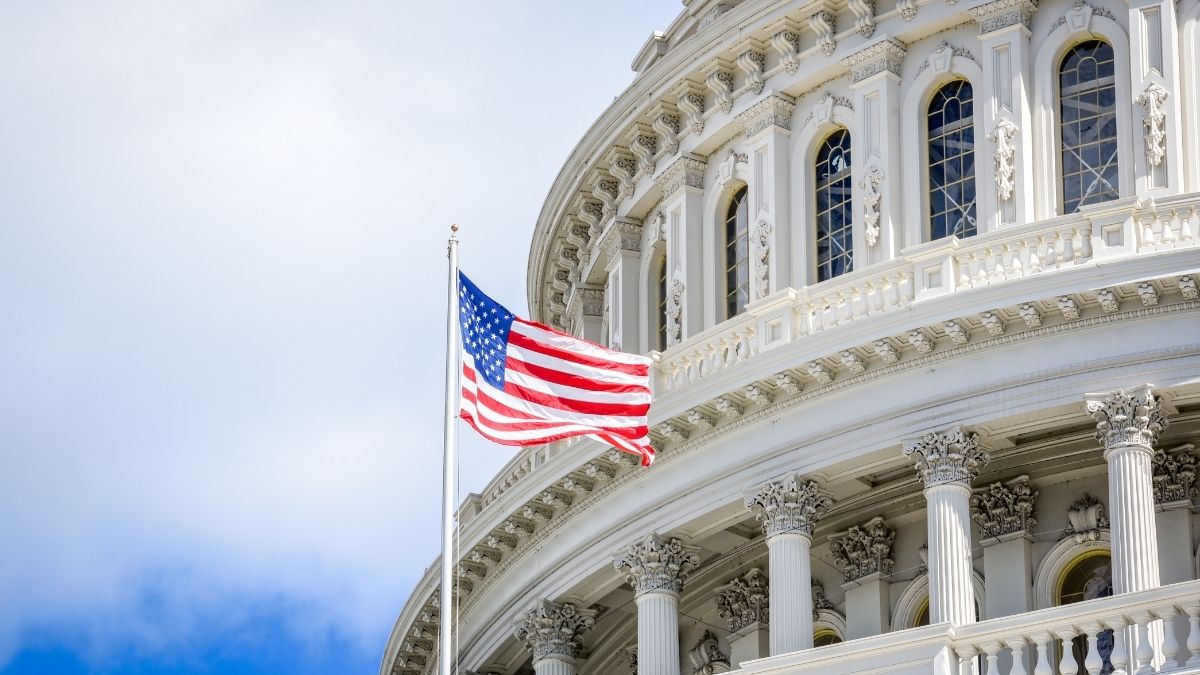
Often, people wonder before Washington, D.C. existed, what city was the nation’s capital. The decision to select Washington, D.C., as the capital of the United States is one of the most fascinating political agreements in early American history.
Today, when people look at a Washington, D.C. map or try to locate Washington, D.C. on a map, they see a carefully designed federal district sitting along the Potomac River. But in the 18th century, this land was not yet a grand capital, nor was it a definite choice. But the story of how it became the centre of American government reveals deep political tensions, regional rivalry, and a historic compromise that reshaped the nation.
The capital had shifted between several cities, including New York and Philadelphia, making the young nation eager for a permanent, neutral site not dominated by any individual state.
What was the Turning Point and the Compromise of 1790?
Washington, D.C. was ultimately chosen through the Compromise of 1790. It was a political deal shaped by Alexander Hamilton, Thomas Jefferson, and James Madison. At the time, enormous disagreements had emerged over Hamilton’s financial plan, especially his proposal for federal assumption of state debts from the Revolutionary War.
Southern states, particularly Virginia, opposed the plan, believing it benefited Northern states disproportionately. However, they were willing to negotiate. In return for Southern support of Hamilton’s debt proposal, Northern leaders agreed to move the new capital southwards, away from Philadelphia.
Read about Who Invented the First Printing Press in the United States? Check History & Facts!
What was the Residence Act and the Birth of the Capital?
This agreement became law through the Residence Act of 1790. Further, it was officially designated a permanent capital on the Potomac River. Although the Act defined the region, it left the precise selection of the land to the President.
That responsibility fell to President George Washington, whose knowledge of the region and skills as a surveyor shaped the outcome. The District of Columbia was formed from land ceded by Maryland and Virginia, creating a federal territory separate from any state, a requirement built into the U.S. Constitution.
What was Washington’s Vision for the Federal City?
Washington, along with surveyor Andrew Ellicott, chose the exact locations for the major federal buildings, including the Capitol and the President’s House. Working with French engineer Pierre Charles L’Enfant, they envisioned a city of broad avenues, symbolic vistas, and monumental government structures, an entirely new capital designed with intention and grandeur.
This planned city soon appeared on early maps of Washington, D.C. It illustrated the transformation from rural land along the Potomac to the nation’s political core.
Check Out: What is the Capital of Arizona?
Therefore, Washington, D.C. became the capital through strategy, compromise, and visionary planning. It served as a bridge between North and South, fulfilled constitutional requirements for a neutral federal district, and embodied the new nation’s ambitions. Today, whether seen on a modern map of D.C. or understood through its history, Washington, D.C., stands as the result of one of America’s most influential political bargains.


Comments
All Comments (0)
Join the conversation