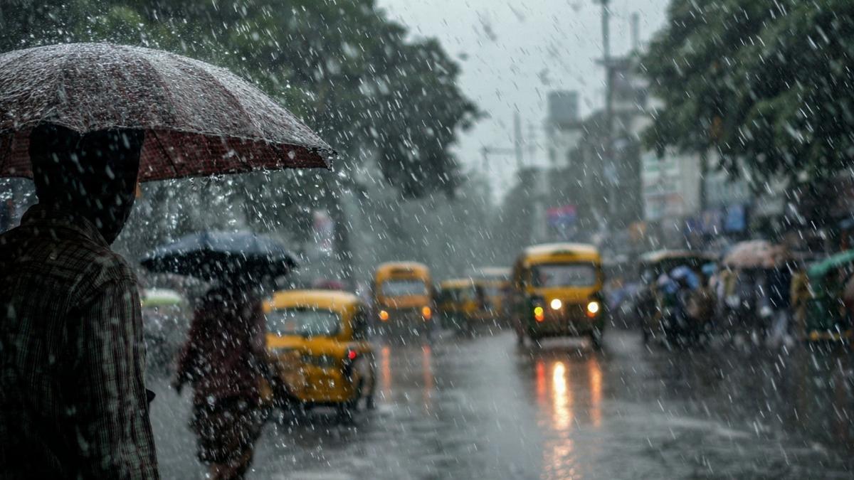
A powerful recurring ocean warning called Godzilla El Niño is currently growing in the Pacific Ocean. The impact of this climatic phenomenon was going to be a weekend Monsoon in July 2026 and a probability of drought in 2027 as per official weather reports.
But satellite maps show clouds over 95 percent of India this week that contradictc the rainfall deficit forecast for the country in July.
Weather scientists expect this El Nino pattern to last into early 2027. Usually an El Niño of this size cuts off rainfall across South Asia.
The India Meteorological Department however reports that active wind circulations over the Bay of Bengal and Arabian Sea are pushing fresh moist air inland. It means that there will be rainfall across India this week despite the global ocean warming.
How Local Wind Patterns Override the Godzilla El Niño 2026 Effects
El Niño usually changes large air currents over the Pacific Ocean. It pushes dry sinking air toward India by shifting warm water east toward South America. This would often lead to a poor monsoon season for a country.
But global climate patterns do not always control daily weather.
Heat dome along the Indian coast created smaller low pressure pockets. These local winds are now pulling damp sea air over the land right now.
|
Weather Factor
|
Pacific El Nino Signal
|
Current Indian Weather
|
|
Main Cause
|
Warmer Pacific Ocean water
|
Local low-pressure winds
|
|
Air Movement
|
Sinking dry air stops rain
|
Rising moist air forms clouds
|
|
Season Impact
|
Risk of low rainfall over months
|
Good rainfall over a few days
|
Why Rain is Reaching India Despite Global Warming Signals
El Niño usually raises the chance of seasonal drought whereas daily rain depends on local storms.
Official reports from the weather department show that parts of Gujarat, Himachal Pradesh, and West Bengal received 12 to 20 centimetres of rain in just one day.
-
Monsoon Belt Position: The main rain belt moved back to its normal place over northern India. It is helping push clouds across the Indian plains.
Moisture From Two Seas: Warm water in the Arabian Sea and Bay of Bengal is feeding rain clouds on both coasts.
Indian Ocean Behaviour: Warm water near Africa saved India from drought during the 1997 El Niño. This year the Indian Ocean is neutral so local winds are doing all the work.
What These Clouds Mean for Water Levels and Crops
Cloudy skies lower daily temperatures but experts warn that clouds alone do not fill dried up lakes or wells.
Rain shortages build up over many months. And the warm Pacific Ocean will keep pushing for dry weather later in the season.
This week shows that short term local winds can briefly change the weather even during a major El Niño warning. Farmers and water officials still need to prepare for dry spells through 2027 as this ocean pattern plays out.