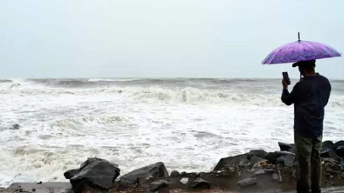
Days after Cyclone Arnab’s landfall, Andhra Pradesh is bracing for another possible cyclonic storm even when it is still recovering from fatalities and massive damage to infrastructure and agricultural crops. The India Meteorological Department (IMD) has cautioned that a new weather system churning over the Bay of Bengal could aggravate into a cyclonic storm and approach the Andhra Pradesh coast by November 2, 2026.
According to the IMD's October 31 bulletin, a low-pressure area that originated over the South Andaman Sea and adjoining regions has escalated into a low-pressure system over the southeast Bay of Bengal. It is slated to form into a depression, succeded by a cyclonic storm within the next 24 hours.
The system is likely to shift west-northwestwards towards the west-central Bay of Bengal, crossing near the Andhra Pradesh coast around the evening of November 2. However, the IMD has not confirmed a landfall.
Heavy Rainfall Expected Across Southern States
The predicted system could trigger heavy rainfall in numerous southern states. The IMD has also forecasted heavy rain in Tamil Nadu, Puducherry and Karaikal until November 5. Kerala and Mahe are also likely to receive heavy rainfall until November 4.
Coastal Andhra Pradesh, Yanam and Rayalaseema may witness powerful winds and rough sea conditions. Fishermen have been advised to remain cautious and follow official weather warnings.
Related Stories
Why Are Back-to-Back Cyclones Forming in India in 2026?
The development of two cyclonic systems within a narrow gap is not unusual during India's post-monsoon cyclone season. October to December is one of the most active periods for tropical cyclones over the North Indian Ocean, especially for the Bay of Bengal.
There are numerous reasons behind this seasonal pattern. First, months of monsoon activity batters the Bay of Bengal with massive stored ocean heat. Sea surface temperatures remain favourable for cyclone development, generally above 26.5 degrees Celsius. Warm water supplies moisture and energy, thus permitting low-pressure systems to escalate.
Moreover, atmospheric conditions become more conducive after the southwest monsoon withdraws. Wind patterns shift, and lowered vertical wind shear permits new storm systems to organise and bolster.
Thirdly, easterly waves and atmospheric disturbances moving across tropical regions can churn new low-pressure systems over the Bay. These systems may form separately, even when another cyclone has recently crossed the coast.
Does One Cyclone Trigger Another?
No, Cyclone Arnab did not directly establish the new system. Both storms churned from separate atmospheric disturbances. However, favourable seasonal ocean and atmospheric conditions can promote numerous cyclonic developments within days.