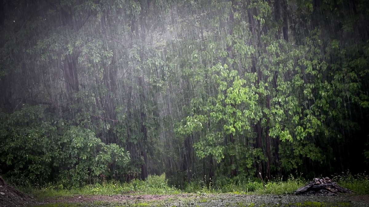
The India Meteorological Department (IMD) frequently issues red alerts for states receiving the highest rainfall in India and places with exceptional downpours too as the southwest monsoon has finally greeted the Indian subcontinent.
After all India is a country with a diverse topography with totally unpredictable weather patterns from one coast to another.
There are some regions that are infamous for being the driest places while others are known as the heaviest rainfall zones in India. These places usually receive over 250 cm of annual rain as per the IMD records.
Today we are here to read about the highest rainfall area in India to know more about the country’s geography, local life and ecosystems.
Top 7 Heaviest Rainfall Zones in India
The highest rainfall state in India is undoubtedly Meghalaya but there are also some exceptional rainfall records in other parts of the country.
According to historical climate data and active IMD monsoon tracking these ten rainfall zones consistently break records:
|
Regions with the highest Rainfall in India
|
State/UT
|
Average Annual Rainfall (Approx)
|
|
Mawsynram
|
Meghalaya
|
1,187 cm
|
|
Cherrapunji
|
Meghalaya
|
1,177 cm
|
|
Amboli
|
Maharashtra
|
750 cm
|
|
Agumbe
|
Karnataka
|
700 cm
|
|
Mahabaleshwar
|
Maharashtra
|
560 cm
|
|
Pasighat
|
Arunachal Pradesh
|
438 cm
|
|
Neriamangalam
|
Kerala
|
370 cm
|
|
Port Blair (Andaman)
|
Andaman and Nicobar
|
318 cm
|
|
Gangtok
|
Sikkim
|
311 cm
|
|
Sirsi
|
Karnataka
|
300 cm
|
Why do These Regions Receive the Highest Rainfall in India?
The secret behind why certain regions are infamous as the highest rainfall areas in India is nothing magical. The credit purely goes to the mountain topography of the country.
When the moisture laden southwest monsoon winds reach the coastal states of India they first hit two major geological barriers -
-
The Western Ghats on the west coast
The Khasi-Jaintia hills in the northeast part.
The air is forced to rise quickly once it reaches these steep slopes but it also cools down rapidly and condenses into towering rain clouds.
This physical phenomenon which is known as orographic precipitation ensures that the windward sides of these mountains receive continuous rain. And thus the regions become the ultimate biodiversity hotspots and crucial water sources for the entire country.