Do you know that in 2025, India's food grain production reached an all-time high of 376.56 million tonnes? And you know what the best part is? The country saw a massive growth of 5.3% from the previous year's harvest. But why are we telling you about this? The topic is about 'Super' El Niño; then why foodgrain production, harvest, growth, numbers, why?
Because this pattern will be disrupted in 2026. Scientists have warned us about the upcoming 'Super' El Niño, which will impact harvests and grain production for India. But before we start the article, first let's clear the basics.
What is an El Niño, and why does it happen? What unpleasant impacts does it bring with itself, and how does it impact the agricultural backbone of a country? Let's understand.
What is El Niño?
If you Google the query "What is El Niño?" The most readily available answer you will get is: "El Niño is a naturally occurring climate phenomenon characterised by the warming of ocean surface temperatures in the central and eastern tropical Pacific Ocean." It disrupts normal wind patterns, driving extreme global weather."
How Does El Niño Work? Explained In The Most Easiest Way Possible
Source: Britannica
Now, let's break it down into simple words; just remember three words: Pacific Ocean, Strong Trade Winds, Drought.
-
So basically, this whole concept starts with the Pacific Ocean. The Pacific Ocean is located east of India and lies between Asia/Australia and the Americas. Now think of the Pacific Ocean as a huge bathtub filled with water and the strong trade winds as a big fan blowing from east to west (from South America to Asia/Australia).
-
Since the Pacific Ocean is near the equator and the sun shines directly on the equator, it warms up the ocean. And when the ocean warms up, the cold deep water becomes a gas and evaporates into the air. This hot air sucks up a lot of moisture and rushes straight up into the sky, creating heavy rain clouds.
-
Once this air gets high into the sky, it travels backwards toward the east. As it travels, the air cools down and sinks back to earth over South America. This continuous loop of rising and sinking air forms a giant, invisible conveyor belt in the sky.
-
As long as this pump keeps running, it drives the trade winds across the ocean from east to west. Scientists call this entire giant conveyor belt the Walker Circulation.
-
So, how does El Niño enter the scenario? Most scientists are still studying what causes the El Niño phenomenon, but the clearest scientific explanation they have given is that this temporary climate change is often linked to natural seasonal atmospheric waves.
-
Understand it with this small example: if two people are riding a tandem bicycle, and if one person stops pedalling as hard, the bike slows down, causing the second person to lose balance.
-
Occasionally, these powerful winds experience a brief, temporary pause or deceleration. In simple words, they sometimes slow down, and when the pressure of these winds is weak, gravity takes over, making it hard for them to evaporate the ocean water near Australia/Asia. So, what they do is they retreat. They travel back to the Pacific near South America.
-
When that warm water moves back to the east, the heavy rain clouds travel right along with it. Because the warm air isn't rising in its usual spot anymore, which is near Asia, the giant conveyor belt breaks down.
-
You know what this fallout causes? It completely flips the world's weather upside down. Places that are usually rainy (like parts of Asia and Australia) experience severe droughts and wildfires. And places that are usually dry (like parts of South America and the southern US) get hit with heavy rains and flooding.
So, this is how El Niño works, and don't worry; it's a temporary climate pattern that mostly occurs after 2 to 7 years. But still, this number is also not fixed. According to the University of Melbourne, the year 2026 is going to be the year of 'Super' El Niño, which might impact both Asia and Australia.
What is 'Super' El Niño?
Imagine you're boiling water on the stove at medium heat, and suddenly you turn it up to high. This is the difference between a normal El Niño and a Super El Niño. The process is the same when the ocean water in the central and eastern Pacific Ocean (near the equator) becomes much warmer than usual.
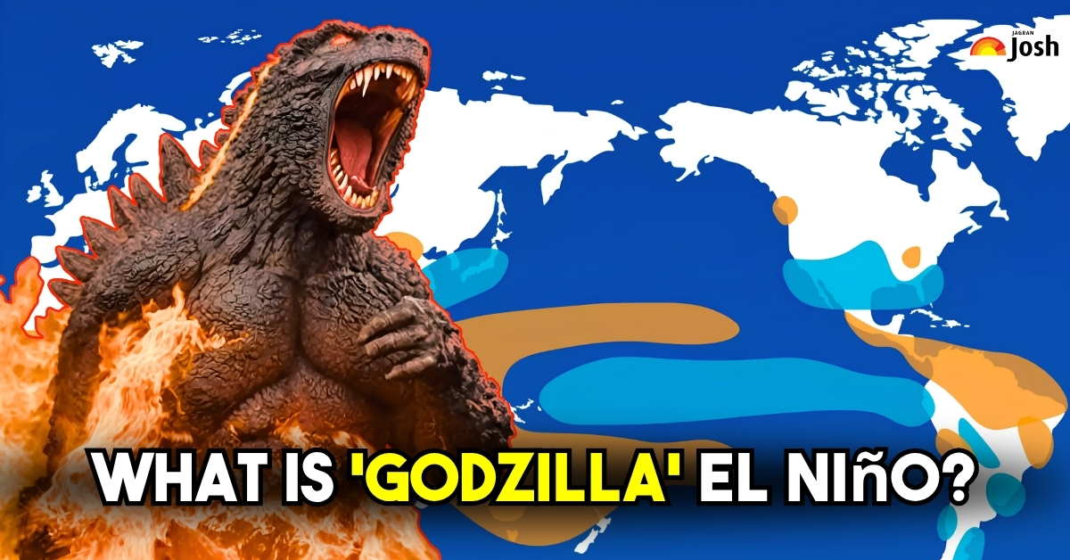
Scientifically, a regular El Niño year is declared when the temperature of the ocean water in the central Pacific rises by at least 0.5°C above normal. But in the case of Super El Niño, which has gained some nicknames such as 'monster' and 'godzilla', it happens when the ocean temperature heats up from the normal range, up to 2.0°C (or more) above normal.
Since it is an extreme, ultra-rare event which occurs in decades, as mentioned above, the year 2026 can be the 'Super' El Niño year. But what causes a regular El Niño to wear the mask of Super El Niño?
What Causes a Super El Niño?
Source: NextIAS
To understand what causes a Super El Niño, you just need to look at three everyday things: wind, water, and heat. When these three connect, they trigger a massive chain reaction. Here is how the dots connect, step by step, in the simplest way possible.
The Step-by-Step Chain Reaction
- The Wind Stops Pedalling: Normally, strong winds (called trade winds) blow hard from east to west across the Pacific Ocean. They act like a giant fan pushing warm water toward Asia. But during a Super El Niño, these winds suddenly stall, weaken, or completely reverse direction.
- The Warm Water Sloshes Back: Because the giant wind fan stops blowing, it can no longer hold that warm water near Asia. Gravity takes over. A massive wave of hot ocean water sloshes backwards, rushing thousands of miles east toward South America.
- The Ocean Warms Up Drastically: Now, a giant "blanket" of hot water sits across the middle of the Pacific Ocean. In a Super El Niño, this water gets incredibly hot, up to 2°C to 3°C warmer than normal. That might sound small, but for an entire ocean, it is an unbelievable amount of extra heat.
- Water Turns to Gas (Evaporation): Think of a hot pot of water on your stove. As the ocean gets super hot, the liquid water turns into gas. It evaporates rapidly, rising straight up into the air as warm, wet steam (water vapour).
- Massive Rain Clouds Form: All that rising ocean gas cools down high up in the sky. It condenses and transforms into giant, heavy rain clouds. Because the hot water moved, these massive cloud factories are now forming in places that are usually dry and sunny.
- The Global Weather Breaks Down: These giant cloud factories change the air currents around the entire planet. They push rain away from places that need it (like India and Australia) and dump historic, flooding rains onto places that don't (like Peru and California).
- The Vicious Loop: The craziest part about a Super El Niño is that it feeds itself. The hotter the ocean water gets, the weaker the winds become. And the weaker the winds become, the hotter the ocean gets. It gets trapped in a loop until the ocean finally runs out of extra heat.
Is 2026 Going to be a 'Super' El Niño Year? Is India Going To Be Impacted By This Massive Climate Disruption
According to the World Meteorological Organisation (WMO) and the US National Oceanic and Atmospheric Administration (NOAA), these major global weather agencies have confirmed that 2026 is going to be the Super El Niño year since a new El Niño is developing at a record-breaking pace right now.
Since you've now understood how super El Niño is formed over the Pacific Ocean and how it impacts the world, it is important to know that global warming has already made the Pacific Ocean hotter than it used to be. It only takes a tiny little push from the wind to turn a normal El Niño into a dangerous "Super" El Niño.
Early data show that the Pacific Ocean is warming very quickly, and it could mature into a "super" dangerous El Niño by the end of this year. Every day, we're seeing news about cylinders, ACs, and cars bursting due to the immense heat this year has brought.
Super El Niño Effect on India So Far
It's June 2026, and Super El Niño isn't just a blip on the weather charts anymore; it's showing up big time across India. We're smack in the middle of monsoon season's grand entrance, and thanks to a tag-team of global warming and this oceanic troublemaker, the weather's gone off-script in ways you can't miss.
1. The Heat and Rain Situation
| What's Happening | The Simple Facts | What it Means for People |
| Record-Breaking Heat | Spring and early summer have been brutal. Temperatures in North, Central, and East India hit 45°C to 48°C. | Power grids are strained, groundwater is drying up, and the extreme heat is causing major health stress. |
| Weak Monsoon Forecast | The weather department lowered its rain forecast to 90% of the normal average, classifying it as "Below Normal." | There is a 60% chance of a full drought across the country this year. |
| Weak Monsoon Arrival | The rain has reached the coast of Kerala, but the winds are very weak. | The main farming regions in Central, Northwest, and South India will face the worst water shortages. |
2. The Impact on Farming and Food
| Area of Concern | What is Happening on the Ground | How the Government & Farmers are Reacting |
| Baked Soil | Extreme heat has completely dried out the topsoil. Seeds cannot sprout properly in soil this dry. | Farmers are being told to hold off on planting or switch to tough, dry-weather crops like millets. |
| Crops at Risk | Major summer crops like rice, lentils (pulses), cotton, and sugarcane are in immediate danger. | The next 60 days are critical. If heavy rains do not arrive by July, crop damage will be severe. |
| Food Supply Backup | India is currently safe from a food crisis because farmers had a record-breaking harvest last year. | The government is pushing water-saving irrigation, distributing heat-resistant seeds, and managing fertiliser supplies. |
Extreme heat has baked the ground, and the upcoming monsoon rains look weak. While last year's surplus food stocks are protecting India for now, the next two months will decide the future of food prices and the rural economy.
Which Indian States Are Most Vulnerable To Agricultural Drought Due To Super El Niño in 2026?
As 2026 brings a below-normal monsoon, concern about rainfall and drought spreads unevenly across India. The India Meteorological Department is sounding the alarm: the heart of India's rain-fed farmland, the stretch that slices right through the middle of the country, is facing the biggest threat this monsoon season.
These states directly rely on the seasonal rains rather than canal irrigation; the following states of India are at a higher risk of experiencing agricultural drought this season:
1. The Red Zone: Highest Vulnerability (Rain-Fed Belts)
These states basically keep India fed through the summer, but here's the catch: they don't have those year-round irrigation setups you see in other places. So if the monsoon slacks off, they're the first to feel it.
- If there's one part of India that fears El Niño, it's Maharashtra (Vidarbha and Marathwada regions). These regions are the major producers of soybeans, cotton, and tur pulses. When the monsoon drags its feet or just doesn't show up, the ground turns rock-hard in no time, and farmers start sweating over whether they'll even get their seeds in the dirt.
- The Central and Western parts of Madhya Pradesh are the heart of India's pulse and oilseed game, but right now the ground is bone-dry. Thanks to relentless summer heatwaves, the soil is parched, and crops like soybeans and urad are hanging by a thread.
- The northern interior region of Karnataka is notoriously drought-prone. It relies heavily on early monsoon showers for sowing maize, groundnut, and pulses.
- Sure, some regions of Telangana and Andhra Pradesh are lucky enough to have solid canal systems. But head into the heart of the rain-fed districts, and you'll find a different story: groundwater is vanishing fast, and that spells real trouble for the folks trying to grow rice and cotton.
2. The Orange Zone: Moderate to High Risk (Water-Intensive Crop Belts)
Sure, these states have the pipes and canals sorted out, but here's the catch: they keep planting water-guzzling crops that suck their reservoirs dry in no time.
- Western and Central UP are crisscrossed by tube wells and canals, but after weeks of relentless heat, the groundwater has dropped off a cliff. Now, all those sprawling sugarcane and paddy fields need even more diesel and electricity just to keep the water flowing. For farmers, that means costs are shooting up fast.
- You almost never see Punjab or Haryana lose an entire crop. That's because just about every inch of farmland here gets irrigated. But the real problem isn't what you see on the surface. When the monsoon fizzles, farmers have no choice but to crank up their pumps and suck up groundwater like there's no tomorrow. The water table drops fast, and the power grid groans under the load.
- The monsoon is playing hard to get in Bihar and Jharkhand this year. For farmers in Jharkhand, where barely one in five fields has irrigation, that means the rice-planting season is basically on hold, waiting for the rain to show up.
What Crops Face the Greatest Danger?
| Crop | High-Risk States | Why It's Vulnerable |
| Paddy (Rice) | West Bengal, Bihar, Uttar Pradesh, Telangana | Needs flooded fields during June-July transplantation. |
| Pulses (Tur/Arhar) | Maharashtra, Madhya Pradesh, Karnataka | Grown almost entirely in rain-fed soils; delay kills the yield. |
| Soybean | Madhya Pradesh, Maharashtra | Highly sensitive to long dry spells right after germination. |
| Sugarcane | Uttar Pradesh, Maharashtra | A 12-month crop that requires constant, heavy watering. |
The Saving Grace: Reservoir Buffers
To be honest, the only thing keeping everyone calm right now is the fact that last year's massive harvests left India's 150 major reservoirs in good shape when the year began.
But if Central India doesn't get a serious dose of rain by mid-July, those backup water supplies are going to run out fast. What started as a dry spell could turn into a real mess for farmers.
What Emergency Measures Is The Indian Government Providing To Farmers In Drought-Prone States For 2026?
Since this Super El Niño can bring droughts and floods, the Indian government is working on emergency measures, as agriculture is the backbone of our country and farmers are called "Annadata" in Hindi (meaning "food providers").
The Ministry of Agriculture is not waiting around to see what happens. Agriculture Minister Shivraj Singh Chouhan and his team have kicked off emergency plans in 651 districts that could get hit the hardest, all to keep this summer's Kharif crops from taking a nosedive.
The plan? Get climate-ready seeds and backup cash into farmers' hands, fast, so we don't see food shortages down the line. Here's what's actually rolling out:
1. Smart Seeds and Village Safety Nets
| Strategy | What the Government is Doing | Why it Helps Farmers |
| Smart Seed Discounts | Giving small farmers deep discounts on certified, high-yielding seeds through national programmes. | Lowers the upfront cost of planting for families under financial stress. |
| Drought-Resistant Vault | Distributing nearly 3,000 crop varieties (rice, lentils, soybeans) engineered to survive with minimal water. | These crops can survive long dry spells and grow faster than traditional seeds. |
| The Millet Push | Handing out free seed kits for tough, coarse grains like Jowar, Bajra, and Ragi. | Swaps water-guzzling crops for hardy ones that thrive in dry soil. |
| Community Nurseries | Funding shared village nurseries to keep young rice plants alive using local wells. | Keeps rice alive until delayed monsoon rains arrive to flood the main fields. |
| Emergency Seed Banks | Setting up local backup seed banks in villages under the NICRA project. | If heatwaves kill the first round of crops, farmers get free backup seeds to replant immediately. |
2. Irrigation Tech and Financial Relief
| Strategy | What the Government is Doing | Why it Helps Farmers |
| Micro-Irrigation Discounts | Paying for 50% to 80% of the cost for small farmers to buy drip and sprinkler systems. | Delivers water directly to the roots, cutting water waste by 40%. |
| Farming Drones | Training women's self-help groups (Namo Drone Didi) to spray special liquid nutrients via drones. | Keeps crops healthy during intense heat spikes without wasting precious water. |
| Cheap Emergency Loans | Offering short-term loans through the Kisan Credit Card (KCC) at an ultra-low 4% interest rate. | Helps farmers afford extra diesel to pump groundwater during dry spells. |
| Guaranteed Paychecks | Guaranteeing a minimum buy-back price (MSP) for dry-weather crops like lentils and oilseeds. | Protects farmers from sudden market price crashes if they switch away from rice or sugar. |
Conclusion
We are all seeing the unpleasant consequences of the 'Super' El Niño in our everyday lives. From dangerous heatwaves to strong, gusty winds and heavy rainfall at times of the year when we never experienced rain, it is clear that the world's climate is changing very quickly. Undoubtedly, 2026 may be the Super El Niño year, which is worrisome for India, where farmers are the real victims who will be directly hit by the impact of this 'Godzilla' El Niño.
In the coming months, food prices will surge, with vegetables, pulses, and grains becoming costlier than usual. If the monsoon winds didn't reach states like Maharashtra, Madhya Pradesh, Jharkhand, Karnataka, Gujarat, and others, which are directly dependent on seasonal rainfall, it would be a really serious situation not only for farmers but also for Indian citizens.