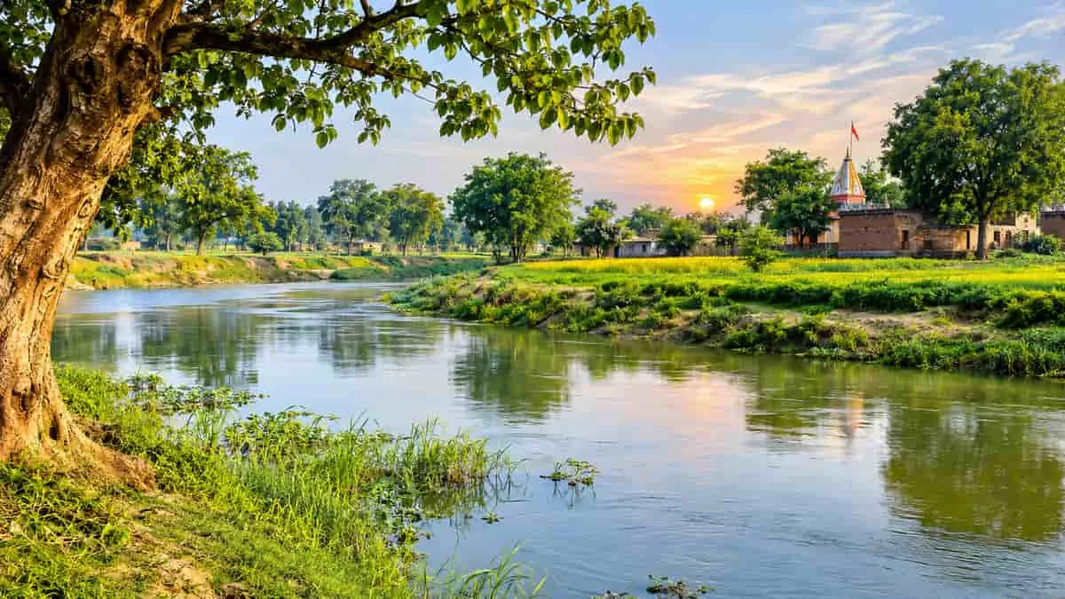
Kalyani River in Uttar Pradesh: The Forgotten Lifeline That Flows Through Villages and Faces the Threat of Disappearing
The Kalyani River is one of the lesser-known rivers of Uttar Pradesh and has an important association with the lives of the rural community of Barabanki, Hardoi, and Unnao regions.
Kalyani river supports agricultural activities and supplies water for the surrounding areas, and it is a part of the river network of the state.
Kalyani river is not too long, not too famous like the Ganga, Yamuna, Gomti etc. However, this river is quite significant as it draws attention to the significance of smaller rivers in maintaining ecological balance in the Gangetic plains.
Its greatest attribute is its fragility. Parts of the river have been polluted and water flow is obstructed by encroachment and illegal mining, efforts are being made to restore the natural flow of the river.
First of all, a geographical clarification: there are more than one reported watercourse in Uttar Pradesh called Kalyani.
One side, it is associated with the Barabanki region and another with the Hardoi–Unnao region, which drains towards the Ganga. Their origins, routes and lengths should not be mixed up when studying the river.
Kalyani River in Uttar Pradesh: Origin, Length, Route and Key Facts
The following table covers the two geographical references separately to avoid confusion.
Related Stories
|
Feature
|
Barabanki Kalyani
|
Hardoi–Unnao Kalyani
|
|
Origin
|
Dhannag Sarovar, Sitapur
|
Near Gaura village, Madhoganj, Hardoi
|
|
Reported length
|
Approximately 173 km
|
Approximately 80 km
|
|
Major areas
|
Sitapur, Barabanki and towards Ayodhya
|
Hardoi and Unnao
|
|
River connection
|
Part of the local river network
|
Joins the Ganga near Bithoor, according to local reporting
|
|
Main importance
|
Agriculture, local water supply and drainage
|
Irrigation, groundwater support and agriculture
|
Origin of the Kalyani River
The source of the Kalyani River varies according to the system of the river referred to.
Barabanki river system: According to a July 2025 report, this Kalyani originates from Dhannag Sarovar in Sitapur district and heads towards Ayodhya. It is reported as being 173 kilometres long.
Hardoi–Unnao river system: Another Kalyani rises from a lake south of Gaura village in Madhoganj of Hardoi district which is known as Hardoi–Unnao river system. This runs through part of Hardoi and Unnao before reaching the Ganga at Bithoor.
Which Districts Does the Kalyani River Flow Through?
The river systems are associated with different geographical areas.
-
Barabanki Kalyani: It is associated with Sitapur, Barabanki and the route towards Ayodhya.
Hardoi–Unnao Kalyani: It passes through Madhoganj and Mallawan in Hardoi, followed by areas including Ganj Moradabad, Bangarmau, Fatehpur Chaurasi and Safipur in Unnao.
The Unnao section is particularly important because the river has historically supported agricultural activities in surrounding villages.
Is the Kalyani River a Tributary of the Ganga?
Kalyani Hardoi and Unnao are the tributaries of Ganga. It flows through the agricultural fields of Hardoi and Unnao and joins the Ganga at Bithoor.
Because of this connection, it is a part of the local Ganga river network. Smaller rivers and streams have a connection to the larger river system in the specific ways of providing rainwater, groundwater and agricultural resources.
The Barabanki Kalyani should not always be deemed as of the same Ganga confluence. According to the district administration, it is a local river that runs through the middle of Barabanki with its streams.
What Makes the Kalyani River Unique?
The Kalyani River has several interesting geographical and environmental characteristics.
A. A river with the potential to flood villages in the monsoons season.
The Barabanki district administration considers Kalyani as a river that has the potential of causing heavy flooding during the rainy season. But in summer, there is little water in some sections.
This seasonality of river flow renders this river as significant for water resources management and flood control.
B. A lifeline for farmers
The Hardoi–Unnao Kalyani was historically an important source of irrigation. The farmers who lived around its banks irrigated crops and vegetables with its water.
Agricultural livelihoods depended on the river before the flow and natural channel of the river was affected, as reported locally.
C. A river under threat of encroachment
The major problem of the Hardoi–Unnao Kalyani is its reduction in size of its natural channel.
Uncontrolled mining, encroachment and land reclamation of sections of the river bed have been mentioned. In some areas, it reportedly has become a drain or pond.
This has had an impact on the natural flow capacity of the river.
D. A river that is being restored.A river under consideration for restoration.
As reported in July 2025, the Barabanki Kalyani was chosen as a part of the Uttar Pradesh government's One District One River initiative.
The following activities were suggested:
-
Taking a look over the river to determine where there are encroached areas.
-
Cleaning the river channel.
-
Excavating wherever needed.
-
Trees planted along river's edge.
-
Involving different government departments in restoration work.
The report also mentioned that the restoration work was earlier initiated under MGNREGA in the year 2020.
Why Kalyani River needs protection?
Kalyani River condition reflects a broader environmental challenge in Uttar Pradesh as smaller rivers are vanishing due to human activities and water management issues.
In the Hardoi–Unnao area, the authorities proposed to conduct drone mapping to determine the true course of the river and to examine the channel.
The administration also discussed removal of vegetation that obstructs water channels and the construction of small check dams to increase water availability.
In Barabanki, the One District, One River initiative brought renewed attention to the restoration of the Kalyani. The proposed work involved the district administration, irrigation authorities, forest department and rural development agencies.
Restoring the river is important for several reasons:
-
Agriculture: It can help provide water for irrigation.
-
Groundwater: A functioning river channel can support local water recharge.
-
Flood management: Maintaining its natural drainage system can help manage excess monsoon water.
-
Biodiversity: Healthy riverbanks provide habitats for plants, birds and aquatic organisms.
-
Rural livelihoods: Local communities can benefit from improved water availability.
Interesting Facts About the Kalyani River
|
Fact
|
Details
|
|
River name
|
Kalyani River
|
|
State
|
Uttar Pradesh
|
|
Geographical identity
|
Two reported river systems share the name
|
|
Barabanki Kalyani's reported origin
|
Dhannag Sarovar, Sitapur
|
|
Barabanki Kalyani's reported length
|
Approximately 173 km
|
|
Hardoi–Unnao Kalyani's reported origin
|
Near Gaura village, Hardoi
|
|
Hardoi–Unnao Kalyani's reported length
|
Approximately 80 km
|
|
Ganga connection
|
The Hardoi–Unnao river joins the Ganga near Bithoor
|
|
Main economic importance
|
Agriculture and irrigation
|
|
Major environmental concerns
|
Encroachment, declining water flow and illegal mining
|
|
Restoration initiatives
|
MGNREGA and One District, One River initiatives in the reported areas
|
What Does the Uttar Pradesh River Atlas Say About the Kalyani Basin?
An interesting geographical reference is the Atlas of Rivers in Uttar Pradesh, published in December 2022 by the Centre for Ganga River Basin Management and Studies (cGanga), under the National Mission for Clean Ganga.
The atlas identifies a Kalyani Basin with the following measurements:
|
Parameter
|
Details
|
|
River basin
|
Kalyani Basin
|
|
River UID Code
|
02063515406R0961
|
|
Basin area
|
2,049.49 sq. km
|
|
Number of rivers
|
24
|
|
Total river network
|
610.4 km
|
Important: The 610.4 km figure represents the mapped river network, not the length of the main Kalyani River. Similarly, the basin area represents the drainage area rather than the river's geographical length.
This is a useful distinction for students preparing for geography and competitive examinations.
Conclusion
The Kalyani River might not be one of the most popular rivers in Uttar Pradesh, but it doesn't lack in significance. It benefits the rural economy, helps to recharge the regional water supply and is part of the state's larger river system.
Its most interesting feature is its geographical function compared to its environment. The river has historically provided a farming basis, but there are some areas where there are concerns with encroachment, lower flow and poor maintenance.
A proper protection of smaller rivers such as Kalyani is important to maintain the availability of water resources and ecological balance in Uttar Pradesh.