India is a country that exists with its rivers. There are 400 rivers in India, and they can be categorised into 20 river basins by the Central Water Commission. The longest river in India is the River Ganges, and its length is 2,525 km. On the other hand, the Brahmaputra River is the largest river by water discharge in India and also the deepest river in India.
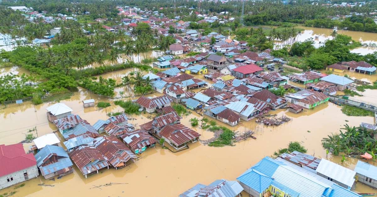
However, a few inches of rain can turn a tranquil river into one that is violent and prone to flooding. The 2026 monsoon season has brought havoc in states like Assam, Bihar, and Jammu. Most of the areas have been flooded with massive amounts of water due to the overflowing of some rivers. Let us now discuss overflowing rivers in 2026.
List Of Indian Rivers Flowing Above Their Danger Marks
More than ten rivers in Assam, Bihar, and Jammu have crossed the danger level in July. In these, one river has surpassed the "Highest Flood Level", and this level is higher than the danger level.
The major causes of these floods include monsoon rains, release of water from dams, and rainfall in the hilly regions of Nepal. Below are the details.
| River | State Facing Floods | Danger Level Status | Why It's Flooding |
| Dikhow | Assam | 92.40 m at Sivasagar | Heavy rains in Assam for 4 continuous days. |
| Brahmaputra | Assam | 85.04 m at Neamatighat | Heavy monsoon rainfall across the region. |
| Burhidihing | Assam | Crossed danger mark at Chenimari | Intense upstream rainfall over a few days. |
| Disang | Assam | Crossed highest flood level at Nanglamuraghat | Continuous heavy rainfall in Upper Assam. |
| Dhansiri | Assam | Crossed danger mark at Numaligarh & Golaghat | Excess rainfall upstream in catchment areas. |
| Chenab | Jammu & Kashmir | 35 ft at Akhnoor | Heavy rainfall leading to high water flow. |
| Tawi | Jammu & Kashmir | Crossed danger mark near Jammu | Non-stop heavy rainfall is swelling riverbanks. |
| Gandak | Bihar | 62.22 m at Gopalganj | 1.8+ lakh cusecs of water released from the Valmikinagar barrage. |
| Bagmati | Bihar | 71.00 m at Sitamarhi | Torrential rainfall in Nepal's catchment areas. |
| Kosi | Bihar | Tracked by discharge (cusecs) at Birpur Barrage | Continuous heavy rains in its Nepal catchment area. |
(The numbers can change rapidly during the monsoon season; therefore, you must verify them through the flood monitoring site of the CWC before mentioning any figure.)
Why Are So Many Rivers Crossing Danger Marks This Year?
The reason why many rivers of India are crossing their danger marks in 2026 is not because of one single reason. Think of it in terms of too many buckets filling up at the same time.
Firstly, monsoons have become very active.
As per the prediction made by IMD in mid-July, heavy to very heavy rainfall was predicted in northwest and northeast India for several consecutive days, and obviously, the rainfall had to flow somewhere – directly into the river channels.
Secondly, most of the rivers in India do not originate in India. For instance, Kosi, Gandak and Bagmati originate in the hilly regions of Nepal. When it rains heavily in Nepal, water enters the Bihar region within one or two days.
Thirdly, the significance of dams and barrages should not be overlooked either. For instance, when a barrage like Valmikinagar starts releasing lakhs of cusecs of water, the river levels increase dramatically in no time in the downstream rivers. This was precisely the reason why the river Gandak crossed the danger level in Gopalganj.
Again, in the northeastern region, due to hilly terrain, rainfall gets drained rapidly into rivers such as Dikhow and Burhidihing.
What Do "Danger Mark" and "Highest Flood Level" Actually Mean?
These terms may appear like technical terms, but they can be understood easily if you try to understand each term.
- Warning level: The water level of the river is rising and should be monitored.
- Danger point: The water level of the river has risen to such an extent that it can possibly overflow into the low-lying areas.
- Highest Flood Level (HFL): Highest water level reached by the river at that specific place. It is worse to exceed HFL than the danger point.
- Evacuation level: People are evacuating that place.
Conclusion
Floods occur annually during the monsoon period in India. This year, 2026, has been particularly challenging for the states of Assam, Bihar, and Jammu in India. Just like always, once the rains become floods, the Brahmaputra, Kosi, and Chenab rivers have swelled up, at times overflowing beyond the marked points of danger.
Monitoring floods is not only the duty of the responsible parties. It also allows the people residing near the river to prepare for any kind of flood threat. Stay alert to this list as we move into the monsoon period.