The India Meteorological Department (IMD) has issued a red alert for parts of northern India as a shifting monsoon trough changes the local weather pattern. The official IMD forecast notifies that heavy rain today will hit several states as well as causing river levels to rise quickly.
The State Emergency Operations Centre has asked all northern district magistrates to keep their rescue teams ready ahead of heavy rainfall.
State Disaster Management Secretary Vinod Kumar Suman has officially advised Char Dham pilgrims and tourists to stay where they are and avoid travelling until the weather clears up.
Which Areas Face the Heaviest Rainfall Alert Today?
The weather office has marked out specific districts that need to be on high alert amid the Monsoon trough.
Teams with heavy clearing equipment are already stationed along main roads that are prone to rockfalls and landslides in these areas.
-
Red Alert Areas: Nainital, Champawat, and Udham Singh Nagar will see the heaviest rainfall.
Orange Alert Areas: Dehradun, Tehri, Pauri, Haridwar, Uttarkashi, Rudraprayag, and Bageshwar expect significant downpours.
Other States Affected: Heavy rainfall alerts are also forecast for Himachal Pradesh, Jammu and Kashmir, and parts of Uttar Pradesh. Delhi and Gujarat meanwhile will see moderate rainfall.
The 3 Worst-Hit Districts Under the Monsoon Trough Red Alert
Local administrations in Uttarakhand have already shifted to emergency mode specifically in these districts amid the heavy rain alert today:
-
Dehradun: Facing an extremely heavy rainfall alert with landslides already blocking parts of National Highway 507 near the Lakhwar Dam waterfall.
-
Tehri: On maximum alert for intense rain and is under close monitoring of vulnerable rural roads.
-
Haridwar: Experiencing a fast rising river levels. Authorities are going to ban non essential travel in low lying zones.
Why is it Raining So Much in India Right Now?
A monsoon trough is simply a long line of low pressure in the atmosphere that acts like a magnet for moisture. It forces huge amounts of warm and wet air to rise up against the hills when this long line moves closer to the mountains.
As this air rises it cools down quickly and turns into heavy continuous rainfall.
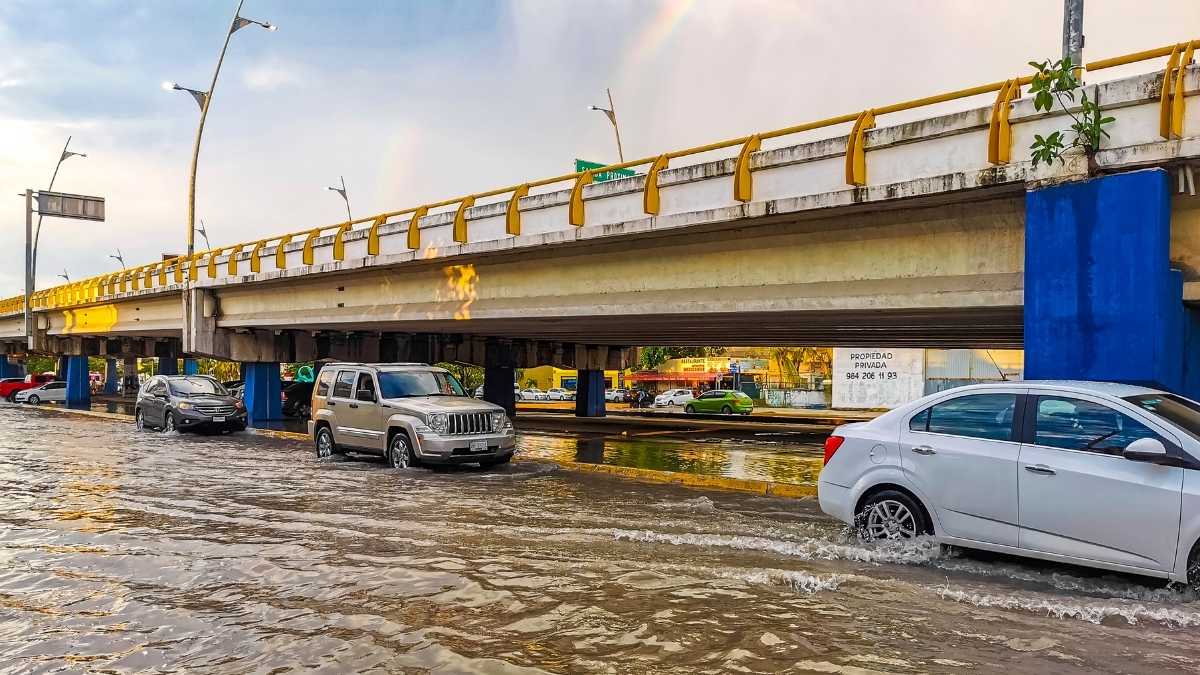
This is why hilly areas face sudden mudslides but the flat plains on the other hand end up with waterlogged streets and flooded roads in Monsoon season.
Crucial Safety Tips for Residents
If you are currently in or nearby the affected districts avoid hillsides and do not try to cross flooded streams. Keep your mobile phones charged to receive emergency broadcasts, store clean drinking water, and follow the direct updates issued by your local district management teams.