Which River Forms the Largest River Island in the World?
Discover which river forms the largest river island in the world, Majuli island facts, Brahmaputra river geography, river island formation and interesting facts about Majuli island.
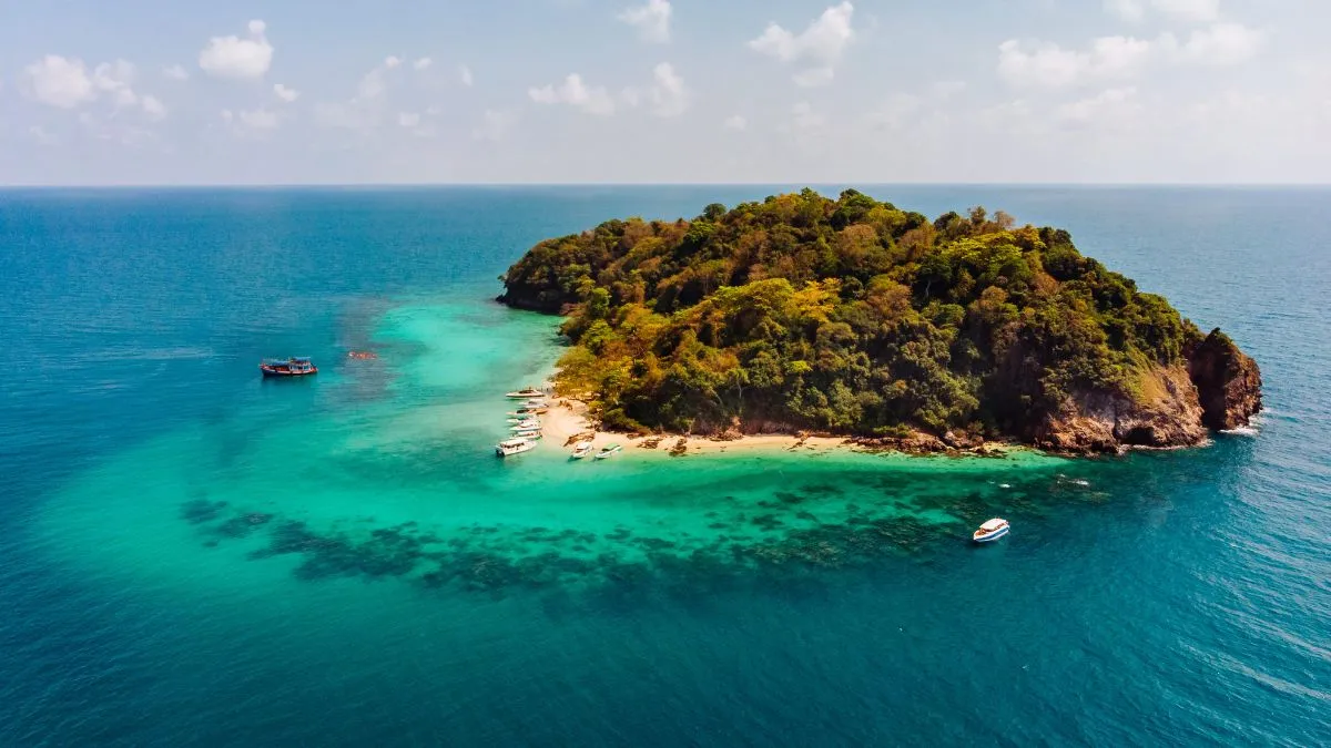
River islands are landforms created when rivers deposit large amounts of sediment over long periods. These islands develop due to shifting river channels and accumulation of soil and sand. Some river islands become large enough to support farming and settlements. Their size depends on river flow, sediment load and seasonal flooding. One river in India is responsible for forming the world’s largest river island.
River That Forms the Largest River Island
The Brahmaputra River forms Majuli Island, which is known as the largest river island in the world. Majuli Island is located in the state of Assam. The island was formed due to continuous deposition of sediments carried by the Brahmaputra and its tributaries. Majuli supports agriculture, fishing and rural settlements. Seasonal flooding plays a major role in shaping the island’s geography.
-1776840134252.jpg)
Why Majuli Island Is Geographically Important
Majuli Island contains fertile alluvial soil deposited during floods. This soil supports crops such as rice and vegetables. The island is also known for its monasteries called satras, which preserve Assamese traditions. River erosion has gradually reduced the island’s size over decades. Several environmental projects are working to control erosion and protect settlements.
Interesting Facts About the Largest River Island
Majuli Is a River Island, Not an Ocean Island
Majuli is surrounded by river channels instead of sea water, making it a true river island. It is formed entirely by river sediment rather than volcanic or coral activity. The island’s boundaries change slightly due to shifting river flow patterns. Seasonal flooding adds new layers of fertile soil each year.
The Island Supports Large Rural Populations
Thousands of residents live on Majuli and depend mainly on agriculture and fishing. Rice cultivation is one of the primary farming activities on the island. Villages are often built on raised land to reduce flood damage. Local communities rely heavily on river transport for daily activities.
Flooding Shapes the Island’s Geography
Annual flooding deposits fresh sediment across the island surface. This sediment improves soil fertility and supports crop production. However, strong currents also cause erosion along riverbanks. Continuous erosion has reduced Majuli’s size over the last century.
Majuli Is Known for Cultural Heritage
Majuli is famous for its traditional monasteries known as satras. These institutions preserve classical dance forms, music and manuscripts. Cultural festivals held on the island attract visitors from across India. The island is considered an important center of Assamese culture.
Read more: Which Lake Is Known as the Queen of Lakes?

Jasreet Kaur is a journalist with over 3 years of experience in digital media and news content creation. She specializes in covering Trending News, including major National and International developments, with a focus on delivering accurate, engaging, and reader-friendly stories. Prior to this, she worked with Zee News as a Content Writer, where she gained extensive experience in news reporting and content strategy. Driven by curiosity, credibility, and a passion for impactful journalism, Jasreet aims to contribute to informed public discourse while supporting positive growth in organizations, society, and the world.


-1789738445358_t.webp)