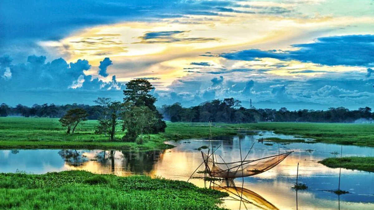
Assam is a beautiful state in the north-eastern part of India. It is a part of the famous seven sisters. The capital of Assam is Dispur. Assam became a constituent state of India on 26th January, 1950.
Assam covers an area of 78,438 square kilometers and is surrounded by Arunachal Pradesh on the north, Manipur to the east, Meghalaya, Tripura and Mizoram to the south and West Bengal on the west.
Currently, the state of Assam is reeling under floods and 25 of its districts are affected by the ongoing floods in 2026. Let us explore the districts of Assam and see which among these districts are affected by floods.
Districts of Assam
There are 35 districts in the state of Assam and they are divided into five regional divisions to ensure better governance. The five regional divisions of the state of Assam are: Upper Assam, Lower Assam, Central Assam, North Assam and Barak Valley.
|
Number
|
District Name
|
Headquarters
|
|
1
|
Bajali
|
Pathsala
|
|
2
|
Baksa
|
Mushalpur
|
|
3
|
Barpeta
|
Barpeta
|
|
4
|
Biswanath
|
Biswanath Chariali
|
|
5
|
Bongaigaon
|
Bongaigaon
|
|
6
|
Cachar
|
Silchar
|
|
7
|
Charaideo
|
Sonari
|
|
8
|
Chirang
|
Kajalgaon
|
|
9
|
Darrang
|
Mangaldai
|
|
10
|
Dhemaji
|
Dhemaji
|
|
11
|
Dhubri
|
Dhubri
|
|
12
|
Dibrugarh
|
Dibrugarh
|
|
13
|
Dima Hasao
|
Haflong
|
|
14
|
Goalpara
|
Goalpara
|
|
15
|
Golaghat
|
Golaghat
|
|
16
|
Hailakandi
|
Hailakandi
|
|
17
|
Hojai
|
Sankardev Nagar
|
|
18
|
Jorhat
|
Jorhat
|
|
19
|
Kamrup
|
Amingaon
|
|
20
|
Kamrup Metropolitan
|
Guwahati
|
|
21
|
Karbi Anglong
|
Diphu
|
|
22
|
Kokrajhar
|
Kokrajhar
|
|
23
|
Lakhimpur
|
North Lakhimpur
|
|
24
|
Majuli
|
Garamur
|
|
25
|
Morigaon
|
Morigaon
|
|
26
|
Nagaon
|
Nagaon
|
|
27
|
Nalbari
|
Nalbari
|
|
28
|
Sivasagar
|
Sivasagar
|
|
29
|
Sonitpur
|
Tezpur
|
|
30
|
South Salmara-Mankachar
|
Hatsingimari
|
|
31
|
Sribhumi (formerly Karimganj)
|
Sribhumi
|
|
32
|
Tamulpur
|
Tamulpur
|
|
33
|
Tinsukia
|
Tinsukia
|
|
34
|
Udalguri
|
Udalguri
|
|
35
|
West Karbi Anglong
|
Hamren
|
Regional Divisions of Assam
Now let us see which districts come under which regional division of Assam.
|
Division Name
|
Districts
|
|
Barak Valley
|
Cachar, Hailakandi, and Karimganj
|
|
Central Assam
|
Dima Hasao, Karbi Anglong, West Karbi Anglong, Morigaon, Hojai and Nagaon
|
|
Lower Assam
|
Baksa, Bajali, Barpeta, Bongaigaon, Chirang, Dhubri, Goalpara, Nalbari, Kamrup Metropolitan, Kamrup Rural, Kokrajhar, Nalbari, South Salmara-Mankachar, and Tamulpur
|
|
North Assam
|
Biswanath, Darrang, Sonitpur, and Udalguri
|
|
Upper Assam
|
Charaideo, Dhemaji, Dibrugarh, Golaghat, Jorhat, Lakhimpur, Majuli, Sivasagar, and Tinsukia
|
Barak Valley
Barak Valley is situated in the Southern part of Assam, it is named Barak Valley due to being situated on the banks of river Barak.
North Assam
North Assam consists of 4 districts and is famous for national parks such as Nameri National Park and Orang National Park.
Central Assam
Central Assam is a culturally rich area and is also known for wildlife sanctuaries, it is a biodiversity hotspot of Assam.
Pobitora Wildlife sanctuary located in Morigaon is famous for having the highest density of one-horned rhinos in the world.
Upper Assam
Upper Assam consists of 9 districts, some of them are Dibrugarh and Jorhat, Majuli and Sivsagar.
Lower Assam
Lower Assam consists of 14 districts, most popular among them are Kamrup Metropolitan, Bongaigaon, Barpeta.
List of Districts Affected By Floods in Assam in 2026
Out of the 35 districts of Assam, 25 districts are affected by the floods. The following 25 districts are impacted by the ongoing floods: Sivasagar, Charaideo, and Jorhat, Dhemaji, Dibrugarh, Golaghat, Goalpara, Cachar, Lakhimpur, Biswanath, Nalbari, Bajali, Chirang, Kokrajhar, Bongaigaon, Baksa, Darrang, Sonitpur, Tinsukia, Udalguri, Nagaon, Karbi Anglong, Kamrup, Kamrup Metropolitan, and Hojai.
Check out some more interesting articles from the general knowledge section to boost your knowledge of national and international topics.