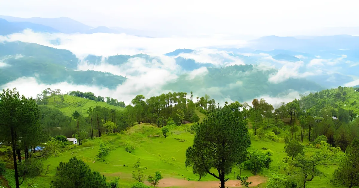
Uttarakhand has always been famous for its mighty Himalayan ranges, its crystal-clear rivers, and its beautiful green valleys. It is situated in the northern part of India and can broadly be divided into two divisions called Kumaon and Garhwal. The latter division comprises seven districts such as Chamoli, Pauri Garhwal, Dehradun, and Uttarkashi. It is greatly appreciated for its rich spiritual temples, trekking, and culture. But do you know about an unusual town which is called ‘Gateway to Garhwal'? Let’s learn about the town that serves as the gateway to these mighty mountains.
Which Place Is Known As The 'Gateway To Garhwal'?
Kotdwara is renowned as the 'Gateway to Garhwal'. The earlier name of Kotdwara was Kootdwar, which meant the gate of the high hill. This place acts as the principal entrance for visitors arriving from the plains and moving to the Garhwal Himalayan ranges.
Where is Kotdwar located?
Source: India Map
Kotdwar lies in the south-western part of the Pauri Garhwal district in the state of Uttarakhand. It lies in the foothills of the Shivalik mountain range. The altitude of Kotdwar stands at 454 meters. Kotdwar is 107 kilometres away from the headquarters of Pauri District. Near this place, the Khoh River flows.
Why is it called the Gateway to Garhwal?
The meaning of “Kotdwar” lies in the significance of its geography. Previously, there was no proper road link inside the mountainous terrain. One had to pass through the plain areas to get to the hill stations of Lansdowne or the religious shrines of Kedarnath or Badrinath. The British laid a rail link between Kotdwar and the other rail links in 1890. It made Kotdwar one of the oldest railheads in Uttarakhand.
What are 5 short facts about Kotdwar?
- Population: According to the official Census 2011 data, the total population of Kotdwar tehsil is 175,232 people.
- Literacy Rate: As per the Census 2011 report, the literacy rate of Kotdwar tehsil stands at 76.53%.
- City Rank: Kotdwar is officially designated as the 8th largest city in the state of Uttarakhand.
- Rail Connectivity: The train network reached Kotdwar in the year 1890 during British rule.
- Sex Ratio: According to Census 2011 statistics, Kotdwar tehsil recorded a healthy sex ratio of 1,025 females per 1,000 males.
What is the historical significance of Kotdwar?
Historically, Kotdwar was ruled by some early rulers, such as the Mauryas, the Katyuris, and the Panwar rulers of Garhwal. It acted as a defence post of the hill rulers against any threat from the plains.
What is the geographic size of Kotdwar?
The Municipal Corporation of Kotdwar occupies an area of 80 square kilometres. It is a gradual transition from the plain land of Uttar Pradesh to the higher grounds of Uttarakhand.