What Is the Study of Maps Called?
Discover what the study of maps is called, how cartography evolved from ancient times to GPS, and the essential techniques used in modern map-making today.
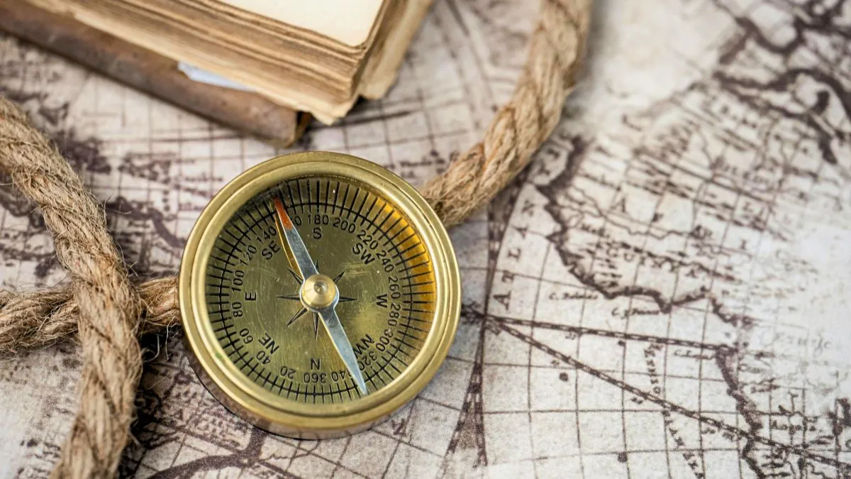
Maps present complex geographical data in a simple, visual format. Maps transform data into practical perceptions, assisting in resource management, education, and both professional and personal decision-making. They help track environmental changes like deforestation or climate change and assist in identifying high-risk areas for natural disasters for better preparation.
Modern maps are no longer just static paper documents; they have evolved into digital interactive tools using GIS (Geographic Information Systems) and GPS to give real-time information. We will try to understand what the study of maps is called, the different features involved in it, as well as its importance in the history of humankind and the present-day world.
What is the study of maps called?
The study and art of making maps is called Cartography. Originally taken from the French word cartographie, of which carte means map and graphie means drawing, the term Cartography was created to describe the, at the time, new scientific approach to the art of mapmaking.
It combines scientific, artistic, and technical ideas to represent geographical areas, terrain, and features, often involving data from surveys, satellite imagery, and aerial photography to create accurate representations of the Earth. Combining science, aesthetics, and technique, cartography builds on the assumption that reality (or an imagined reality) can be shaped in ways that communicate dimensional information effectively.
History of Cartography
The history of cartography begins in prehistoric times, though the earliest maps remain debated. A wall painting from Çatalhöyük (7th millennium BCE) is often considered one of the first maps. The Babylonian clay tablets showed us what the world looked like. The Greek scholars, like Anaximander and Ptolemy, did a lot of work to make mapping more scientific.
Ancient China and Ancient India also made their maps a long time ago, including maps of the stars to help people navigate.
During the period of the Renaissance, mapping got a lot better. Muhammad al-Idrisi made accurate maps of the world. The European cartographers, who made maps in Europe, got better at what they did by using tools and ways of drawing maps.
In the time of the Enlightenment, people started using copper plates to print maps. They also got better at making projections, which made the maps more accurate. Even with all these improvements, people still copied maps from each other a lot. Over time, cartography evolved into a precise scientific and cultural discipline.
Modern Day Scenario
Cartography has changed a lot in recent years because of new technology. A long time ago, maps were drawn by hand on parchment and were not very accurate. They were also not easy to share with people. Then some new tools were invented, like the printing press, compass, telescope, and sextant. These tools helped make maps more accurate. It became possible to make a lot of them.
In the 20th century, people started taking pictures from airplanes and satellites, and this changed mapping completely. We could see the Earth and its features clearly. The United States Geological Survey and other groups developed ways to use satellite data.
Now in the 21st century, digital tools have changed cartography even more. The Global Positioning System, Google Earth, and OpenStreetMap have made maps very accurate. We can interact with them. New software like GIS and CAD lets us make maps promptly, and it is also making people interested in traditional map styles again. Cartography uses new technology, like the Global Positioning System and Google Earth, to make better maps.
Check out some more interesting articles from the general knowledge section to boost your knowledge of national and international topics. Stay connected with Jagran Josh for more topics like this.
ALSO READ

Mriganka Chakraborty is a seasoned digital journalist and communications professional who is currently working as Deputy Manager at Jagran Josh, where he leads the General Knowledge Section. As a subject matter expert with 8+ years of editorial experience, he has created authoritative content that is trusted by millions of readers around the world in Science, History, Geography, Polity, Economy, Sports, and Technology. His extensive expertise in these subjects enables him to present complex topics in an engaging, accurate, and reader-friendly manner to a global audience, making learning addictive and fun.
His background in a wide range of content areas and his ability to move between them make him a trusted voice to readers who want reliable, well-researched content across a variety of disciplines.
In his leisure time, Mriganka enjoys reading fiction novels and watching action and thriller movies, and cricket, which not only hone his storytelling skills but also keep his editorial vision fresh and dynamic.




![[OUT] SSC CGL City Slip 2026 Live Updates: Download Tier 1 Exam City Slip, Direct Link Here](https://img.jagranjosh.com/images/2026/September/2192026/SSC-CGL-City-Slip.jpg)