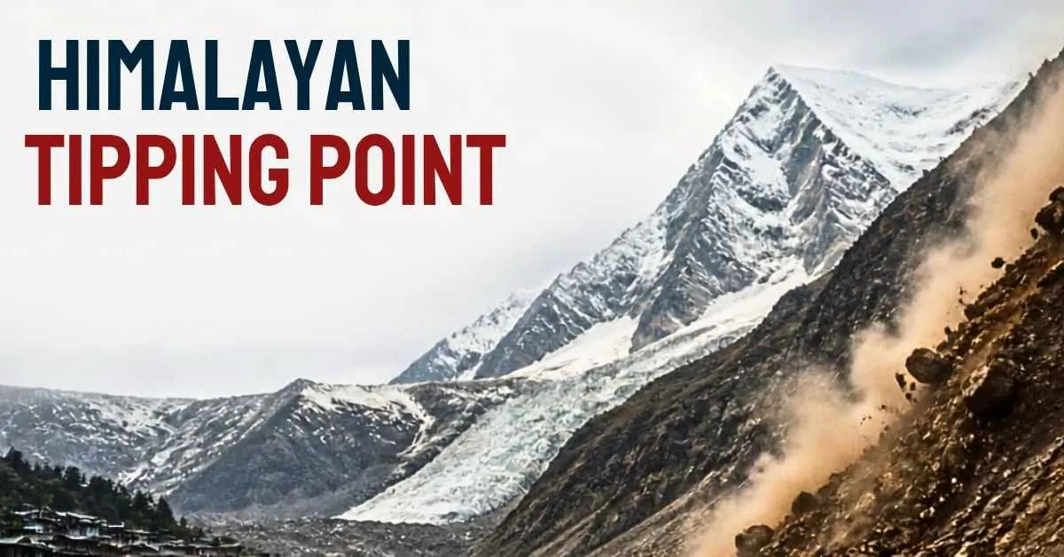
The world’s roof is facing alarming changes. Its region known as the Hindu Kush Himalaya (HKH), also called the Third Pole, extends through eight states from Afghanistan to Myanmar is experiencing seasonal warming at the pace of doubling of the global index.
Major scientific reports, such as the reports of the International Centre for Integrated Mountain Development (ICIMOD) and Systemiq in cooperation with the G.B. Pant National Institute of Himalayan Environment. The reports highlights that glaciers in the Himalayas are now melting at a rate 65% faster than a decade ago. The ice loss's rate has doubled since the beginning of this century with an estimated 80% decrease of the glacier volume by 2100, depending on the emissions of the gases.
The catastrophe brings about a range of problems such as glacial lake flooding and Peak Water that negatively influence the quality of water for almost 2 billion people living downstream.
What is the Himalayan Tipping Point and "Peak Water"?
A Himalayan Tipping Point is defined as an accumulation of ice and snow and the most massive of these repositories is found in the Hindu Kush Himalayas, which supplies water to 10 essential river systems in Asia such as the Indus, Ganges, and Brahmaputra, and supports the drinking water supply of up to 1.9 billion people using the water of those rivers.
-
Glacier Melting Process: According ICIMOD to recent reports, glaciers in the Himalayas are shrinking at a pace 65 times that of the previous decade.
Black Carbon Effect on Ice: Roughly one-third of the water loss is caused by black carbon deposited on the glaciers from the industrial enterprises nearby.
The "Peak Water" Problem: It has been determined that scientists predict the occurrence of this event in the middle of the 21st century when the rivers will stop receiving the excess flow of peak water from glaciers which are melting at a declining rate gradually.
The Immediate Dangers: From Glacial Lakes to Economic Shocks
The Immediate Dangers from Glacial Lakes to Economic Shocks. The manifestation of the crisis occurs in two extreme forms: a sudden surge of water followed by a long period of water scarcity.
The Danger of Glacial Lake Outburst Flood (GLOF)
Glaciers are melting at an alarming rate and forming glacial lakes while the precarious moraines keep these lakes from flooding. According to the Indian reports about 200 glacial lakes are categorized as hazardous with dozens of them classified as "very hazardous". When these barriers fail and it leads to disastrous floods triggered by GLOFs, destroying many villages, bridges and hydropower projects in a matter of minutes.
Vulnerability in Economy and Agriculture
The Himalayan ecosystem is vital for the economies of many countries in the world. In India, the Himalayas account for around 35% disasters in the country despite being only about 18% of the area.
The entire mountain economy and agricultural areas below rely heavily on the steady flow of river water originating from the Himalayas. Post-peak water, significantly reduced river discharges will impact food security and green energy production in hydropower generation.
Geography of the Himalayas
The Himalayan mountain range is an extraordinary geographical asset which stretching over 2400 kilometers in an impressive curve. Consisting of three significant parallel hills. The Greater Himalayas (Himadri) that contains peaks like Mount Everest and K2(Mount Godwin-Austen). The Lesser Himalayas (Himachal), and the outer Shiwalik hills. This rough terrain provides an enormous climatic barrier.
It stops monsoon winds to control the climatic conditions of South Asia while having the biggest amount of snow and ice apart from the polar zones.
Important Glaciers of the Hindu Kush Himalaya (HKH)
-
Siachen Glacier: Siachen Glacier is the longest glacier in the Karakoram range and the second-longest in the non-polar region and is a significant source of the Indus river system.
-
Gangotri Glacier: Gangotri glacier is located in Uttarakhand, India. It is one of the primary sources of the sacred River Ganges (especially the Bhagirathi river).
-
Khumbu Glacier: Found in the Everest region of Nepal, it is the highest glacier in the world and a major center of studies of climate retreat.
-
Zemu Glacier: Zemu is the largest glacier in the Eastern Himalayas situated in Sikkim, India and feeds the Teesta River basin.
Major River Basins of the Region in Himalayas Region
According to the International Centre for Integrated Mountain Development (ICIMOD). The Himalayan ice cover feeds 10 of Asia’s main rivers, giving rise to the water and food security of approximately 1.9 billion people:
-
Indus River Basin: Significant to the fertile agricultural zone of Pakistan and northwestern India. The basin is estimated to derive approximately 40% of its water from melting snow and ice.
-
Ganges River Basin: Serves to support hundreds of millions of people in India and Bangladesh. The basin is dependent on glacial melt and the seasonal rains.
-
Brahmaputra (Yarlung Tsangpo) Basin: Covers China, India, and Bangladesh, and is important for the hydrology of the region, which is home to a diversity of biological species and for navigation.
-
Other Major Rivers: The Mekong River, Yangtze River, Yellow River, Salween River, Irrawaddy River, the Amu Darya River and Tarim River.
The Way Forward: What Needs to Be Done?
In order for South Asia to emerge from its ecological crisis, policy makers and international organizations propose a four-point strategy:
-
Innovative Risk Assessment: Instead of using past damage statistics, predictive modelling has to be applied in order to monitor how the risk of multi-hazard events is changing.
-
Early Warning System (EWS): The implementation of real-time monitoring of high-risk glacial lakes should help evacuate populations downstream before the catastrophe.
-
Green Finance: The use of such international sources as Loss and Damage Fund as well as green bonds will ensure the construction of climate-proof infrastructure.
-
Regional Diplomacy: Cooperation among Himalayan countries on data sharing is necessary to protect the water needs of over a billion people