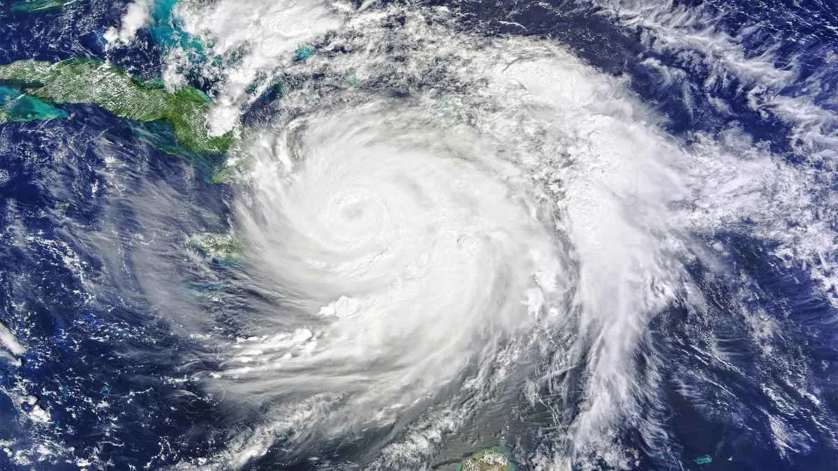
Typhoon Dolphin struck the eastern coast of China near Yuhuan in Zhejiang province. The typhoon was packed with sustained winds of 94 mph (that is 151 km/h) and became the strongest tropical cyclone ever recorded in 2026 for China.
Before hitting the Chinese mainland the storm passed through Okinawa Prefecture in Japan where high winds injured six people and cut power to over 50000 homes.
China's National Meteorological Centre (NMC) further confirmed that the Category 1 equivalent storm triggered major flood alerts across eastern provinces. The alert further forced emergency crews to move more than one million residents out of low lying and mountainous areas.
What is Regional Impact of Typhoon Dolphin in 2026?
The arrival of Typhoon Dolphin paralysed major transport routes and public infrastructure along the densely populated Yangtze River Delta.
Local municipal teams had as of now moved rapidly to evacuate vulnerable communities. They have also set up hundreds of emergency shelters along with pulling fishing vessels back to port.
Related Stories
Landfall in Zhejiang Brings Heavy Winds and Mass Evacuations
The immediate operational fallout across affected provinces includes:
- Wenzhou municipal officials relocated more than 900000 citizens into safety zones. Taizhou also located nearby evacuated 390000 individuals from their homes.
- Shanghai cancelled nearly 1500 flights at their two main airports. Yangshan Port which is situated in Shanghai cleared all of its shipping lanes and ceased handling any cargo.
- Fujian province stopped 55 passenger ferry lines and 115 offshore construction projects due to rising sea levels.
| Location | Main Impact of Dolphin Typhoon | Evacuations after Storm |
| Zhejiang | Landfall zone, 94 mph winds, torrential rain | 900000+ relocated in Wenzhou 390000 in Taizhou |
| Shanghai | 1,500 flights cancelled, main container ports paused | 30000+ moved to temporary shelters |
| Fujian | Coastal ferry routes closed, offshore work halted | 98000+ evacuated from high risk zones |
Why Storms Stay Dangerous Days After Hitting Land
Many people assume that once a typhoon moves inland and its wind speed drops the main threat is over. But freshwater flooding from intense rainfall often causes far more damage than coastal winds.
The friction from trees, buildings, and mountains weakens its rotation when the storm moves over land. This system keeps a vast amount of moisture trapped in the upper atmosphere despite loosing its wind power.
Meteorologists call this slow moving cloud system a remnant low.
Typhoon Dolphin pushes west toward central provinces and turns north toward the Beijing Tianjin Hebei area. It's trapped moisture produces heavy and continuous rain.
In mountainous regions rain soaked dirt quickly triggers mudslides.
Concrete roads in cities cannot absorb the water which leads to flash floods in streets and underground stations.
What to Expect Next
Even as floodwaters are slowly receding and flights are resuming in coastal cities like Shanghai the storm system is now moving inland.
Weather agencies forecast localized rain totals of 10 to 20 inches (whichi is 250 mm to 500 mm) across parts of Zhejiang, Anhui and Jiangsu.
Communities along the major river basins may need to stay away from streams under flood alert following low local flood guidance when the remaining low pressure system is already pushing northward later this week.