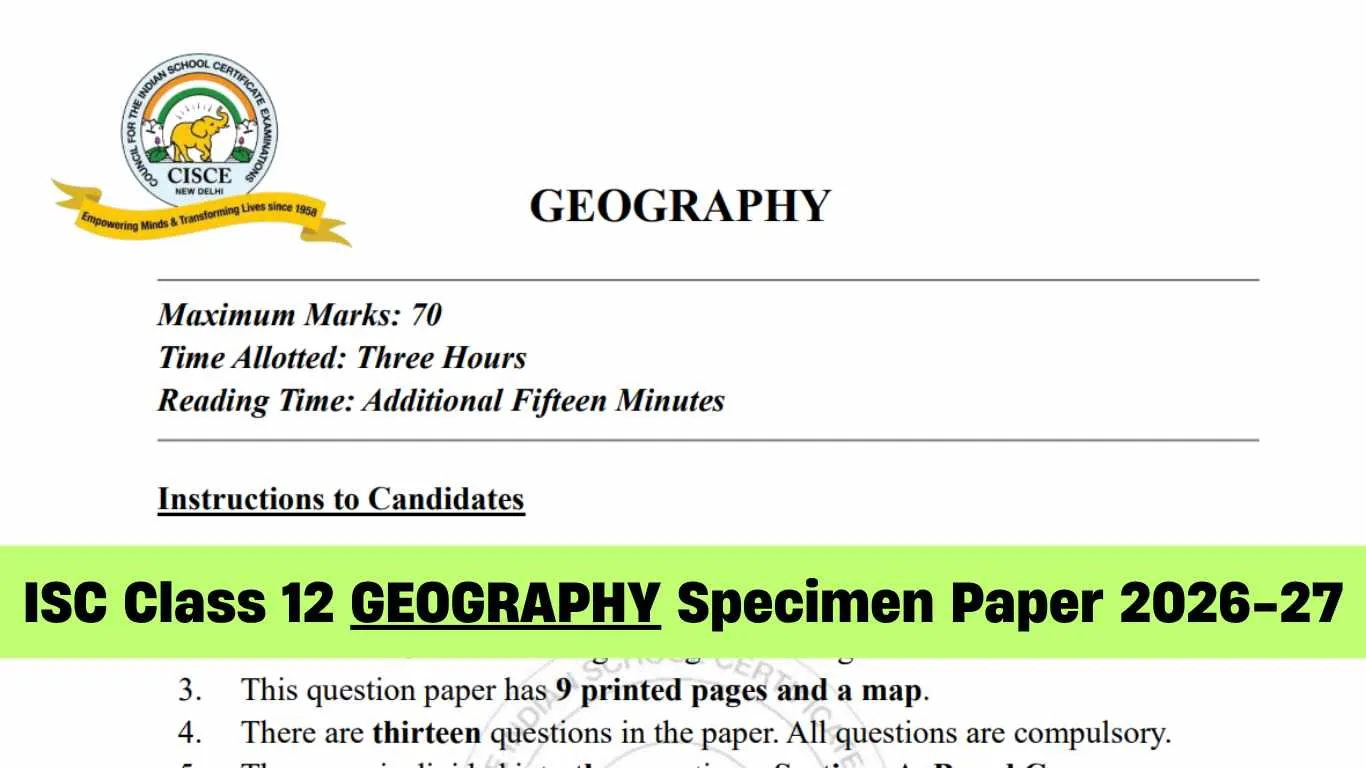
ISC Class 12th Geography Specimen Paper 2026-27: The board has made available sample papers on the official website for Class 12th. Geography is an important and major subject to be evaluated for students preparing for the Final Board Exams for 2026-27 academic year. Geography requires strong concepts and basic understanding of formula and numerical problems, and the ISC Geography Specimen Paper 2027 plays an important role in helping students prepare effectively for the exam
The board releases these specimen papers every year for students to familiarise them with the latest exam pattern, marking scheme, and types of questions asked in the final 2027 board exam. By solving the official sample paper, students will strengthen their problem-solving skills, improve speed, and build up their overall confidence. In this article, students can download the ISC Geography Specimen Paper 2027 PDF and check key highlights and benefits.
ISC Class 12 Geography Specimen Paper 2027: Key Highlights
Students appearing for the ISC Class 12 Geography Exam 2027. Check the table below for more details about the exam pattern and important information.
|
Category
|
Details
|
|
Conducting Body
|
Council for the Indian School Certificate Examinations (CISCE)
|
|
Exam Name
|
ISC Class 12 Geography
|
|
Academic Session
|
2026–27
|
|
Exam Date
|
To be announced
|
|
Paper Type
|
Theory
|
|
Total Marks
|
70 Marks (Internal Assessment: 30 Marks)
|
|
Exam Duration
|
3 Hours
|
|
Official Website
|
cisce.org
|
ISC Class 12 Geography Specimen Paper 2027
|
SECTION A – 16 MARKS
|
|
Question 1
A. Mark and label the correct option on the outline map provided.
(i) The plateau that lies to the north of Vindhya Mountain is: (a) Malwa (b) Deccan (c) Meghalaya (d) Chotanagpur (ii) The peninsula that projects into the Arabian sea bounded by Gulf of Kachchh in the north-west and Gulf of Khambhat to the east is:
(a) Deccan (b) Kachchh (c) Kathiawar (d) Kanyakumari (iii) A large brackish waterbody on the Coromandel coast is:
(a) Pulicat (b) Wular (c) Chilika (d) Sambar (iv) The coastal plains where the port of Kochi is located:
(a) Konkan (b) Kanara (c) Malabar (d) Northern Circars B. Identify the correct option and label it on the outline map provided. (i) The tributary of river Indus with the longest length marked P is: (a) Ravi (b) Sutlej (c) Jhelum (d) Chenab (ii) The nuclear power plant located along the banks of river Ganga marked Q:
(a) Kaiga (b) Narora (c) Tarapur (d) Rawatbhata (iii) The state with the highest index of concentration of population marked R:
(a) Bihar (b) West Bengal (c) Uttar Pradesh (d) Madhya Pradesh (iv) The port built to decongest the oldest port in eastern India marked S:
(a) Kochi (b) Haldia (c) Kolkata (d) Chennai Question 2
(i) Given below are two statements marked Assertion and Reason. Read the statements carefully and choose the correct option.
Assertion: India aims to increase the generation of non-conventional energy by 2030. Reason: Conventional resources cause pollution and are non-renewable. (a) Both Assertion and Reason are true, and Reason is the correct explanation for Assertion. (b) Both Assertion and Reason are true, but Reason is not the correct explanation for Assertion. (c) Assertion is true and Reason is false. (d) Both Assertion and Reason are false. (ii) Given below are two statements marked Assertion and Reason. Read the statements carefully and choose the correct option.
Assertion: Nuclear energy is considered important for India in 2026. Reason: It does not cause air pollution and reduces coal use. (a) Both Assertion and Reason are true, and Reason is the correct explanation for Assertion. (b) Both Assertion and Reason are true, but Reason is not the correct explanation for Assertion. (c) Assertion is true and Reason is false. (d) Both Assertion and Reason are false. (iii) The state of Rajasthan is best suited for solar energy development.
Choose the correct reasons that justify the above statement. (P) High rainfall (Q) High solar insolation (R) Availability of coal (S) Presence of large open space (a) Only (P) and (R) (b) Only (Q) and (S) (c) Only (R) and (S) (d) Only (P) and (S) (iv) Examine the role of iron and steel industry in the economic development of India.
(v) How does the eroded landscape of Malwa plateau pose a challenge to farming?
(vi) What is the role of raw material in determining the location of industries in India?
|
|
SECTION B – 28 MARKS
|
|
Question 3
Assess how the formation of doabs has transformed Punjab from a subsistence landscape to a commercialised agrarian economy
Question 4
(i) Study the line graph below and answer the question that follows.
What trend does the graph reveal about the sex ratio of the population in India? Discuss three factors that have led to thissex ratio.
OR (ii) Study the given part of the map of India that points certain north-eastern states, and answer the question that follows. What is the unique demographic trend observable in these states? Discuss three factorslargely responsible for such trend.
🡇
🡇
🡇
To download complete Question Paper PDF along with marking scheme for ISC Class 12 Geography Specimen Paper 2027 for board exams. Students can tap on the link below and get the PDF for free to download and start their prepration in advance to score good grades in 2027 board exams.
DOWNLOAD: ISC Class 12 Geography Specimen Paper 2027 PDF |
How to Download ISC 12 Geography Specimen Paper 2027
Students can click on the given link below to download the ICSE Maths Specimen Paper 2026:
- Visit to the official CISCE website at cisce.org.
- On the homepage, click “Examinations” or “Publications / Specimen Papers”.
- Look for “Specimen Papers 2027” or the “Class XII” section.
- Find “Mathematics Class 12 (Specimen Paper)” in the list.
- Click the paper title or the PDF download icon.
- The specimen paper will open in a new tab, click the download link and save as to save it.
- Open the saved PDF to check formatting and print if needed.
Also Check: ISC Class 12 Maths Specimen Paper 2026-27: Download PDF