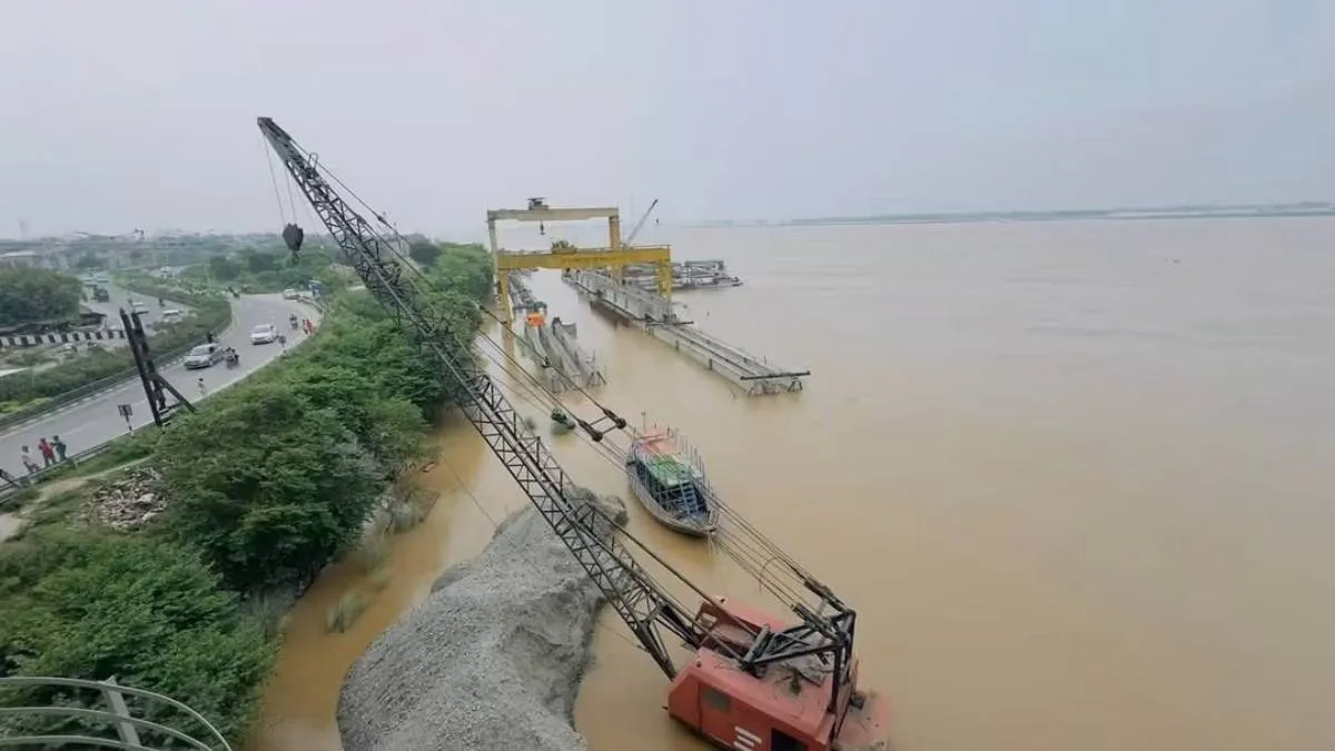
Continuous rain in Nepal and neighboring states has pushed the Bihar flood situation into a full scale emergency in September 2026. Official numbers from the Bihar Disaster Management Department reveals that around 41.45 lakh people are now living through flooded homes, damaged roads, and destroyed crops.
The Ganga River has already reached a new highest flood level of 50.57 metres at Gandhi Ghat in Patna. The last time Bihar witnessed Ganga reaching the highest water level mark in its capital city was in 2016 with a record of 50.52 metres.
The Ganga River crossed danger marks at multiple locations, while major tributaries like the Gandak, Kosi, Burhi Gandak, Punpun, Bagmati, and Ghaghra continue to swell above critical thresholds.
Related Stories
List of Bihar Districts Under Flood Alert in September 2026?
State agencies have marked 14 riverfront Bihar districts as high-risk flood zones as of now. At the same time weather officials issued a Yellow Alert for 13 northern and central districts to warn people about strong winds, lightning, and heavy local downpours.
|
Major Flood Affected District in Bihar
|
Rivers Causing Floods
|
Current Status and Official Flood Alert
|
|
Patna and Bhojpur
|
Ganga,
Punpun,
Sone
|
Ganga reached a historic 50.57m at Gandhi Ghat.
Train services on the Patna-Gaya track were temporarily suspended due to water on tracks.
|
|
Saran,
Vaishali,
and Begusarai
|
Ganga,
Gandak
|
Over 200 village areas underwater.
Island (diara) residents moved to higher ground via boats.
|
|
Bhagalpur,
Munger,
and Katihar
|
Ganga,
Kosi
|
Sultanganj touched record water levels (36.78m).
Water flows are causing embankment erosion and cutting off rural access roads.
|
|
Supaul,
Samastipur,
and Darbhanga
|
Kosi,
Bagmati
|
Low-lying areas inundated.
local authorities on high alert due to continuous releases from upstream barrages.
|
|
Buxar,
Khagaria,
Lakhisarai,
Arwal,
and Purnia
|
Ganga,
Burhi Gandak,
Mahananda
|
Agricultural lands and residential blocks submerged under 3–5 feet of floodwater.
|
Over 4,000 Government Schools Submerged
The ongoing inundation has severely impacted education across the state. Over 4,000 government primary and secondary schools across the 14 flood-hit districts are submerged in water which is directly affecting the studies of over 3 lakh children.
The Bihar Education Department has scheduled exams starting -
-
September 15 for Classes 1 to 8
September 18 for Class 12
September 21 for Classes 9 and 10
Exams are set to be conducted in local community halls or dry open spaces where schools are closed due to waterlogging with local administrations directing arrangements for affected students.
Why Water from Nepal Made Bihar Flood Situation Worse
Local rain in Bihar did play a role in recent flooding of Ganga in Patna but the main reason water levels jumped so fast comes from upstream rivers and glacial lakes in Nepal and Uttarakhand.
- When heavy rains hit the hills in Nepal huge amounts of water were released through the Kosi and Gandak dams into Bihar within a few hours.
- Over decades mud and silt coming down from the mountains have settled at the bottom of Bihar's rivers. This makes the river channels shallower. So they hold less water before overflowing.
- Ganga is already overflowing and smaller rivers like the Punpun cannot empty into it. The water turns around and spills straight into streets and fields.
What Government Teams are Doing for Bihar Flood 2026 Damage Control
Rescue workers from the national and state disaster teams have moved into the worst-hit areas to help residents get to safety.
-
Boat Rescues: A total of 1,872 boats alongside 27 SDRF teams and 10 NDRF battalions are actively conducting evacuation operations.
-
Food and Medical Care: Authorities are running 793 community kitchens providing hot meals, while 15 relief camps are housing over 13,000 displaced residents.
-
Flood Relief Distribution: More than 29,000 dry ration packets, 2,000 polythene sheets, and animal fodder have been distributed in affected panchayats.
-
Checking River Banks: Workers are patrolling river walls day and night to fix leaks before the water breaks through into more villages.
-
Crop Loss Assessment: The Bihar Agriculture Department has initiated ground inspections across the Bihal flood affected districts to assess flood damage to standing crops and coordinate farmer assistance.
Weather reports suggest light rain will continue over the next two days, so local officials are keeping rescue boats ready in low-lying villages