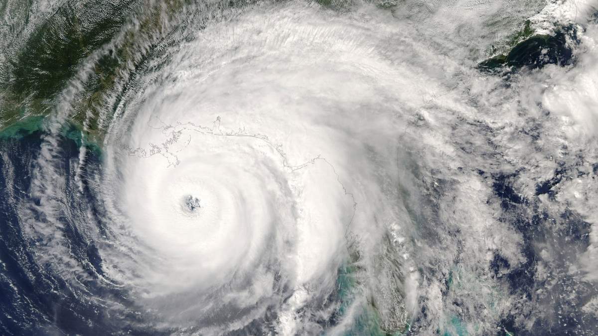
Residents across the US Pacific islands are currently experiencing the catastrophic effects of Super Typhoon Bavi. The typhoon is currently registered as a Category 5 storm travelling at a speed of 290 kmph.
It has reportedly made a direct hit on the island of Rota early Monday morning and triggered life threatening flash flood warnings and wind alerts in the region.
The super typhoon Bavi is now officially one of the strongest storms on Earth in 2026 according to the latest National Weather Service (NWS) broadcast. After creating several infrastructural damages in the US Pacific region is still growing stronger.
Let’s read about where this Category 5 storm Bavi is currently headed after terrorising Rota and Guam.
Damage from Super Typhoon Bavi in Rota and Guam
The Pacific island of Rota was the first destination in the Super Typhoon Bavi path. Local emergency management teams have already confirmed that the region was severely impacted by Typhoon Bavi with crucial communication lines completely damaged due to the collapse of their primary cellphone tower.
The NWS had to issue an urgent weather warning similar to tornado alerts and advise the residents on Rota to move immediately to internal shelters.
Meanwhile neighboring Guam and Saipan islands have recorded severe wind gusts that exceed 160 kmph on record.
Related Stories
|
Storm Metric
|
Current Status/Impact from Super Typhoon Bavi in 2026
|
|
Maximum Sustained Winds
|
290 kmph (180 mph)
|
|
Peak Wind Gusts
|
346 kmph (215 mph)
|
|
Expected Rainfall
|
8 to 12 inches (20 to 30 cm)
|
|
Key Territories Impacted
|
Rota, Guam, Saipan, Tinian
|
Where is Super Typhoon Bavi Headed Next?
The timing of this super typhoon could not be worse for the Northern Mariana Islands. Communities are still actively recovering from the damage of Typhoon Sinlaku in April with many neighborhoods still waiting for electricity to be restored.
And now this new storm alert threatens to paralyze the local network towers for weeks if not months.
The most recent meteorological tracking data also warns that Super Typhoon Bavi is slowly moving westward at 14 kmph away from the Marianas.
The storm is projected to move over the Philippine Sea where it is expected to enter the Philippine Area of Responsibility (PAR) by late Tuesday or early Wednesday. It will be assigned the local name Inday by then.
From there, meteorologists are closely monitoring a path that could bring the typhoon dangerously close to Taiwan by the weekend.
The emergency crews are already up to the task of beginning the search and rescue operations once the weather conditions become a little more favourable as per the tracking systems in Guam and Rota along with other Pacific regions.