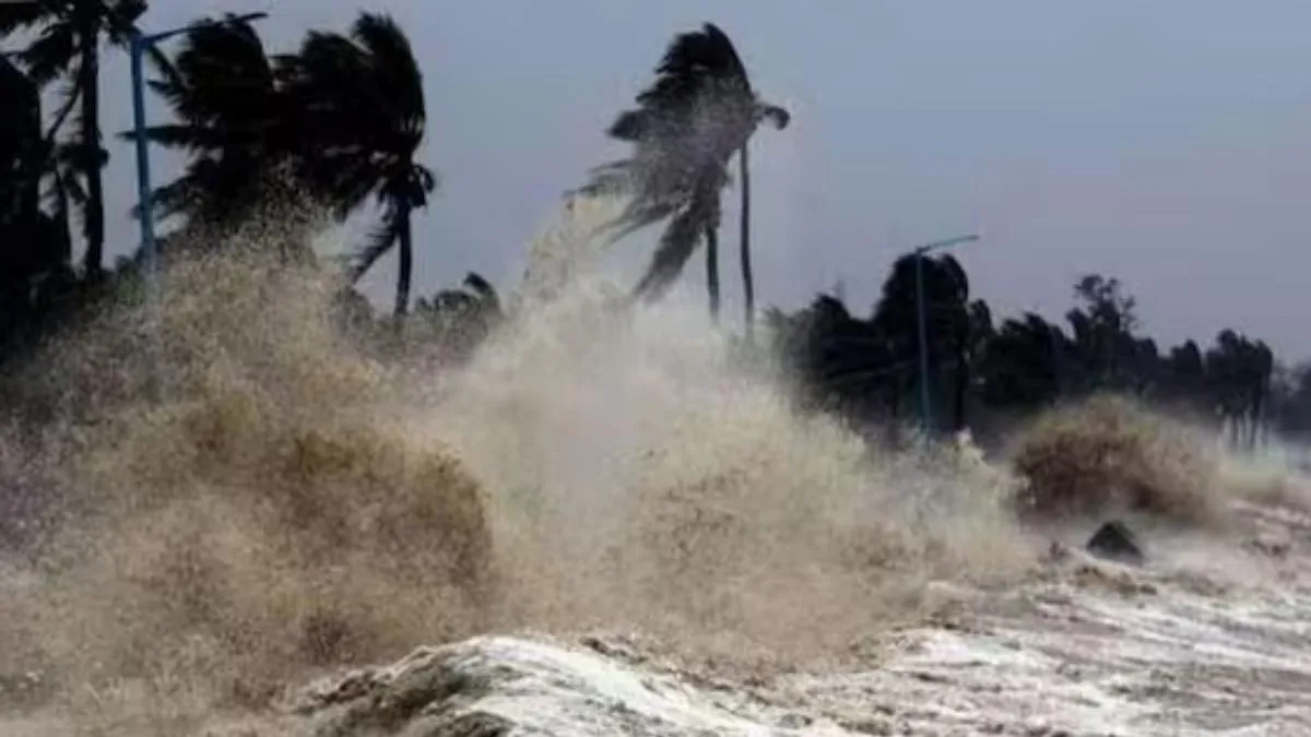
The Bay of Bengal is witnessing its one of its most active stages for cyclone formation, with Cyclone Arnab developing from a low-pressure system, according to recent weather reports. October to December is regarded as the main cyclone season over the North Indian Ocean, with October and November especially active months.
Why Do Cyclones Form After the Monsoon?
The post-monsoon period creates favourable conditions for cyclone development. As the southwest monsoon withdraws, warm ocean waters and increased atmospheric moisture can offer the energy needed for trigerring weather systems to escalate.
Another crucial factor is wind shear, which refers to shifts in wind speed or direction at varied atmospheric heights. Lower vertical wind shear forms a storm to sustain its structure and strengthen. During the southwest monsoon, stronger wind shear makes it harder for tropical cyclones to form and intensify.
Related Stories
Why Is the Bay of Bengal More Vulnerable Against Cyclones?
The Bay of Bengal offers more cyclones than the Arabian Sea because of its favourable oceanic and atmospheric conditions. Warm surface waters, excessive moisture and suitable wind patterns promote the development and aggravation of storms.
Historical records also show that more than 60 per cent of Bay of Bengal cyclones make landfall along India's east coast. Odisha, West Bengal, Andhra Pradesh and Tamil Nadu are among the coastal regions vulnerable to these storms, although the affected areas relies on each cyclone's path.
Landfall occurs when the center or eye of a tropical cyclone breaches the coastline from sea to land. This shift causes dramatic shifts in the storm’s structure, bringing immediate devastation followed by rapid decay.
During Landfall: Peak Destruction of Cyclone
The worst consequences of a cyclone occur when landfall because the storm’s eyewall — the heavy ring of intense clouds surrounding the calm center— comprises the highest winds and heaviest rain.
• Extreme Storm Surge: Massive winds shove enormous volumes of ocean water onto the shore. This establishes a swift, towering growth in sea level (often 2 to 7 meters high) that instantly floods low-lying coastal areas.
• Violent, Turbulent Winds: The highest sustained winds collide with coastal structures. While land friction starts to slow the total speed, it bolsters turbulence — creating dangerous, erratic downbursts and destructive gusts that tear down roofs, trees, and power lines.
• Torrential Downpours: Major rainbands dump hundreds of millimeters of rain in a matter of hours, causing immediate flash flooding and overwhelmed drainage systems.
• The "False Calm" of the Eye: If the exact center (the eye) crosses directly overhead, the wind and rain will swiftly stop completely, and the sky may clear. This is temporary and highly hazardous. As the other side of the eyewall crosses, violent winds will trigger it to restart from the opposite direction.
After Landfall: Weakening and Inland Threats of Cyclone
Once the cyclone shifts completely over land, it starts its "decaying stage". However, it stays dangerous for hundreds of kilometers inland.
1. Rapid Structural Weakening
A cyclone serves as a heat engine powered by warm water. Two environmental occurrences quickly choke it:
• Loss of Energy: Without the warm ocean water evaporating beneath it, the cyclone loses its major source of latent heat energy.
• Enhanced Friction: Rough terrain (trees, hills, and buildings) creates resistance that disrupts the cyclonic air circulation, forcing the central atmospheric pressure to rise and the storm to spin down. A greater cyclone typically loses a massive portion of its wind intensity within 12 to 24 hours of hitting land.
2. The Shift to Inland Hazards
Even though the winds die down, the massive moisture payload formed over the ocean does not disappear. The threats shift from coastal winds to inland flooding:
• Inland River Flooding: The storm moves inland as a tropical depression or low-pressure system, dumping persistent heavy rain over river basins, causing rivers to overflow days after the maiden landfall.
• Landslides and Mudslides: In hilly or mountainous areas, the instant saturation of earth regularly triggers devastating terrain collapses.
• Tornadoes: The friction and shifting wind speeds at varied altitudes can spawn localized tornadoes within the deteriorating rainbands.