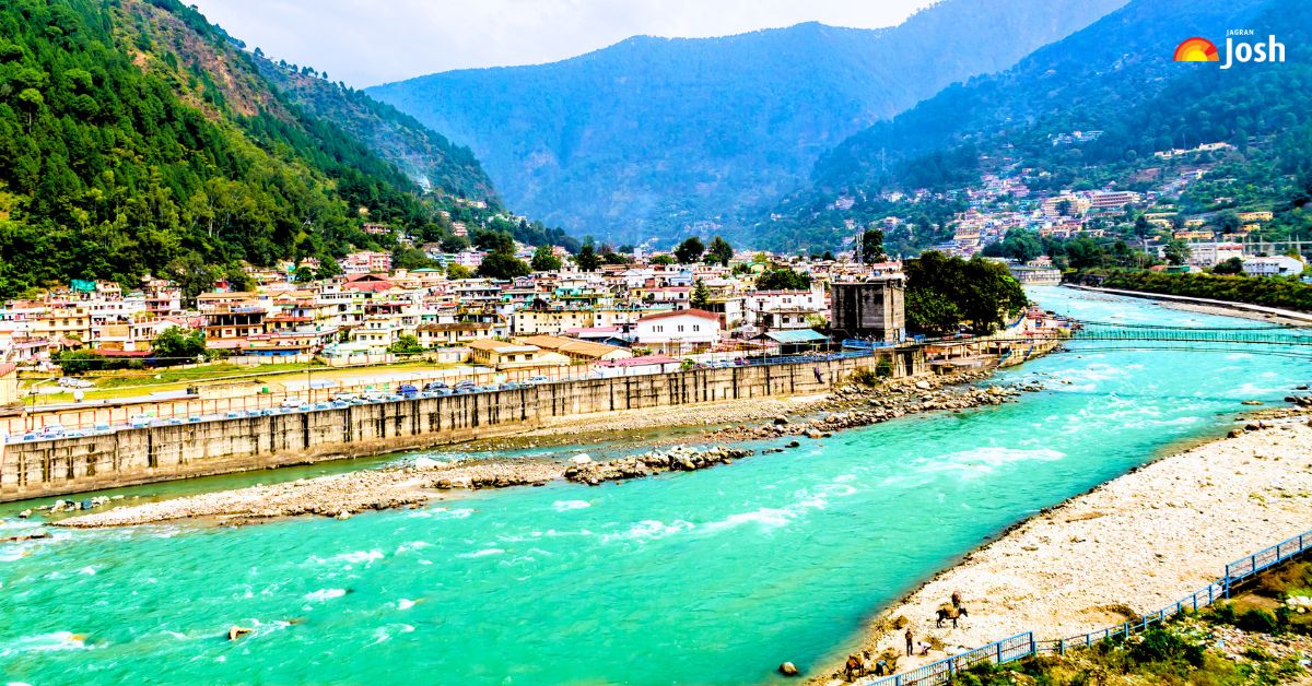
The rivers are the major lifelines of a country. If you look at our history, most of the world's oldest civilisations, like the Indus Valley and Mesopotamian civilisations, settled near rivers for water to drink and for irrigation.
But over time, humans became more advanced and progressive, so they set up industries along riverbanks, which, in 2026, have polluted our rivers so much that they are now slowly affecting marine life too.
Did you know that, according to NITI Aayog's Composite Water Management Index, India is facing the worst water crisis in its history? Nearly 600 million people face high-to-extreme water stress. It is projected that by 2030, India's water demand will be 2x its available supply. This will put severe stress on the major river basins of India that are already running dry during non-monsoon months.
Now you can understand how important rivers are for keeping a civilisation alive. And do you know you can never guess the age of these rivers? Why? Because they were on the earth even before humans came into existence.
Can you answer which is the longest river in India? Where does it originate from, end, and flow through which states of India? Let's discover the top 10 longest rivers in India, their sources and mouths, and their ecological and economic significance.
Exploring the 10 Longest Rivers of India: Lifelines of the Nation
India is blessed with a vast network of rivers that act as our country's true lifelines. These beautiful, flowing waters hold immense spiritual value, shape our unique geography, and support hundreds of millions of people through agriculture and daily trade.
Related Stories
| River | Length (in km) | Starts From | Flows Through Which States | Ends In | Economic Importance |
| Ganga | 2,525 km | Gangotri Glacier | Uttarakhand, UP, Bihar, West Bengal | Bay of Bengal | Supports 47% of India's population; crucial for irrigation in mega farms. |
| Godavari | 1,465 km | Trimbakeshwar | Maharashtra, Telangana, and Andhra Pradesh | Bay of Bengal | Covers 10% of India's land and powers key southern hydro plants. |
| Krishna | 1,400 km | Mahabaleshwar | Maharashtra, Karnataka, Telangana, and Andhra Pradesh | Bay of Bengal | Supplies 78 cubic km of water to major cotton and rice belts. |
| Yamuna | 1,376 km | Yamunotri Glacier | Uttarakhand, Himachal, Haryana, Delhi, UP | Ganga River | Vital for Delhi's drinking needs and 49 cubic km of farm supply. |
| Narmada | 1,312 km | Amarkantak Plateau | Madhya Pradesh, Gujarat, Maharashtra | Arabian Sea | Fuels the Sardar Sarovar Dam, feeding millions of dry farms. |
| Indus | 1,114 km | Mount Kailash | Jammu & Kashmir, Ladakh | Arabian Sea | Vital for Northern hydro-energy and local mountain farming networks. |
| Brahmaputra | 916 km | Angsi Glacier | Arunachal Pradesh, Assam | Bay of Bengal | Carries 735 million tons of sediment; massive inland trade route. |
| Mahanadi | 851 km | Sihawa Hills | Chhattisgarh, Odisha | Bay of Bengal | Feeds the Hirakud Dam, irrigating over 1,000,000 acres of land. |
| Kaveri | 800 km | Talakaveri | Karnataka, Tamil Nadu, Kerala | Bay of Bengal | Settles major interstate crop demands with 20 cubic km of water. |
| Tapi | 724 km | Multai | Madhya Pradesh, Maharashtra, Gujarat | Arabian Sea | Powering the Ukai Dam and Surat's busy industrial textile hubs. |
1. Ganga River
The mighty Ganga is India's longest river because it runs entirely through the national heartland for 2,525 km. It starts from the icy Gangotri Glacier, bringing life to vast green plains. Along its banks, lush forests grow tall sal and mangrove trees. It is home to rare smooth-coated otters and 6,324 endangered Gangetic dolphins, which are heavily protected in 2026.
This river holds a massive economic value, powering major farms and factories. Today, it directly supports over 500 million people, which is around 47% of our total population, making it the most critical life source for India's growth and daily human survival.
2. Godavari River
The Godavari is the second-longest river in India and the longest in the southern peninsula, with a length of 1,465 km. It starts from Trimbakeshwar, cutting across the Deccan Plateau. Its basin features thick teak forests, which are home to unique wildlife such as the Indian giant squirrel and various water birds.
This river has huge ecological and economic value because it supplies water to thousands of large rice fields and massive power plants. In 2026, the Godavari basin supports about 100 million people, helping them grow food and run industries across multiple southern states, keeping the entire regional economy alive and highly stable every day.
3. Krishna River
The Krishna River ranks third, stretching for 1,400 km across India. It starts from Mahabaleshwar in the high Western Ghats, flowing east to the coast. The river basin has a rich plant life, including heavy scrub forests and mangrove trees near the coast. It provides a home to rare animals like the fishing cat and saltwater crocodiles.
Economically, it is very important because its waters feed major dams that give electricity and drinkable water. In 2026, the Krishna River supports roughly 80 million people, driving large farming sectors and fulfilling crucial water needs for rapidly expanding major southern cities.
4. Yamuna River
The Yamuna is the fourth-longest river at 1,376 km, acting as the biggest tributary of the Ganga. It starts from the freezing Yamunotri Glacier in the Himalayas.
The surrounding area has alpine meadows and dense pine forests, which shelter rare birds and turtles. Its ecological and economic importance is immense since it flows past India's capital, Delhi.
The river provides water for major industrial zones and massive crop fields. By 2026, despite pollution challenges, the Yamuna basin will support nearly 60 million people, providing essential drinking water and driving critical economic growth across key regions of North India.
5. Narmada River
The magnificent Narmada River is the fifth longest, stretching for 1,312 km. It is unique because it flows westward through a deep rift valley into the Arabian Sea.
The river basin is surrounded by beautiful teak and bamboo forests. These forests hide diverse creatures like leopards, hornbills, and various freshwater fish species. The Narmada holds great economic and ecological value due to the mega Sardar Sarovar Dam built on it.
In 2026, this river system directly supports over 45 million people, providing them with essential drinking water and irrigating dry farmlands across Madhya Pradesh and Gujarat every single day.
Conclusion
In conclusion, the longest rivers of India are much more than just water bodies on a map. They are the actual beating hearts of our country's environment and economy. As we look at the data for 2026, these rivers keep proving how vital they are by feeding millions, lighting up homes, and protecting rare wildlife. It is clear that saving our rivers from pollution and climate stress is our biggest duty. By keeping them clean and using their water wisely, we can make sure that these beautiful lifelines continue to bless and support future generations for years to come.