Over 7 billion devices worldwide, including nearly 900 million in the United States, use GPS technology developed in the country on a daily basis. The GPS is a satellite-based hyperbolic navigation system operated under Mission Delta 31. Developed and maintained by the United States Space Force, it has developed into an ever-present technology from a military property that outlines countless daily activities and significant global operations. It is a global navigation satellite system (GNSS) that provides geolocation and time information to a GPS receiver anywhere on or near the Earth with an unobstructed line of sight to four or more GPS satellites. Understanding what GPS is, it has a remarkable journey to recognize its origin as a sophisticated satellite navigation system and become an independent, global utility, which has originally rebuilt how we navigate and operate around the world.
Read About- Who is the Father of Robotics? Check Details Here
What is GPS and its full form?
GPS stands for Global Positioning System. It is a space-based radio-navigation system owned by the U.S. government and operated by the United States Space Force. The system consists of a constellation of at least 24 satellites orbiting Earth, ground control stations that monitor and maintain these satellites, and user receivers that process signals from the satellites to calculate their precise position and time. GPS provides continuous, all-weather, three-dimensional position, velocity, and time information to users anywhere on or near the Earth's surface with a suitable receiver.
What was the Origin of GPS?
The GPS military origin dates back to the Cold War era. Its roots can be traced to the late 1950s when U.S. scientists tracked the Soviet Union's Sputnik satellite, observing shifts in its radio signal (the Doppler Effect) to determine its orbit. This principle laid the groundwork for satellite-based navigation.
In the early 1970s, the U.S. Department of Defense initiated the NAVSTAR GPS project to develop a robust and stable satellite navigation system primarily for military applications, enhancing precision targeting and troop movements. The first NAVSTAR test satellite was launched in 1978, and the system became fully operational for military use in 1995. Civilian access to GPS was significantly improved in 2000 when the U.S. government discontinued "Selective Availability," a policy that intentionally degraded civilian signal accuracy.
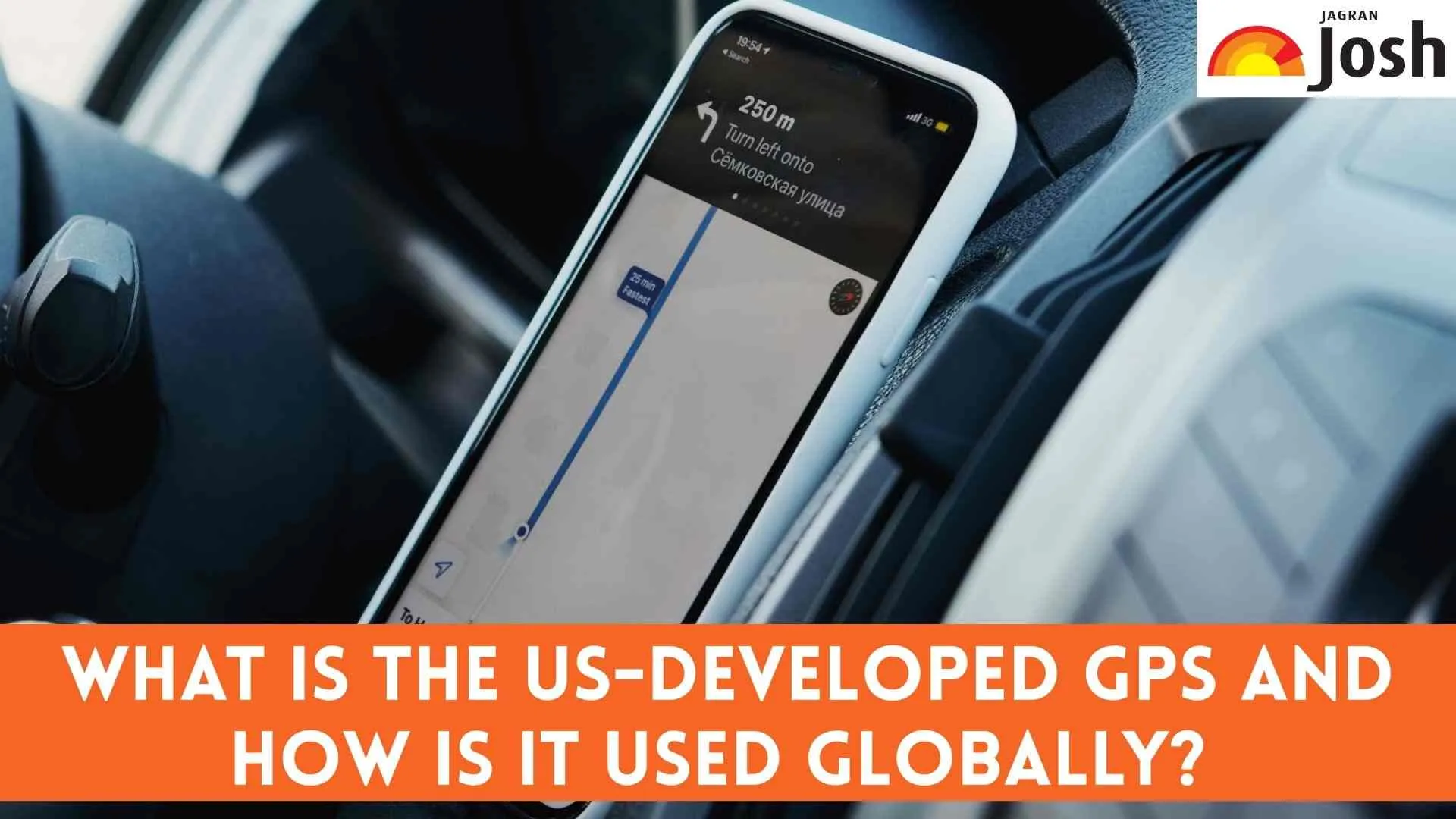
How is GPS used globally?
The GPS global use is extensive and permeates virtually every sector. Its applications span far beyond simple navigation:
-
Navigation: Providing directions for driving, walking, cycling, and aviation.
-
Logistics and Transportation: Fleet management, tracking shipments, optimizing delivery routes.
-
Emergency Services: Locating emergency calls, guiding first responders, search and rescue operations.
-
Mapping and Surveying: Creating accurate maps, land surveying, construction planning.
-
Agriculture: Precision farming, guiding autonomous tractors, monitoring crop health.
-
Timing and Synchronization: Providing precise time signals crucial for banking, financial markets, power grids, and telecommunications networks globally.
-
Scientific Research: Tracking wildlife, monitoring seismic activity, climate studies, and atmospheric research.
What is the impact of GPS in daily life?
The GPS daily life impact is profound. Most people interact with GPS daily, often without realizing it. It's integrated into smartphones, car navigation systems, fitness trackers, and even watches. It enables ride-sharing apps, delivery services, and location-based social media. For businesses, GPS enhances efficiency, security, and resource management. It helps prevent accidents by providing real-time traffic updates and assists in finding lost or stolen items. The ability to pinpoint location and synchronize time globally has streamlined countless processes, making daily life more convenient, safer, and more efficient for billions of people.
Must Read- USA Shines Brightly at 66th International Mathematical Olympiad (IMO), Securing Second Place
Conclusion
In conclusion, the U.S.-developed GPS is far more than just a mapping tool; it is a fundamental satellite navigation system that has become an indispensable global utility. Its journey from a military project to a pervasive civilian technology underscores its revolutionary impact. By providing accurate positioning, navigation, and timing data worldwide, GPS continues to underpin essential services, drive innovation across diverse industries, and profoundly influence how individuals interact with their environment, solidifying its role as one of the most significant technological advancements of our time.


Comments
All Comments (0)
Join the conversation