The recent tsunami warning issued for Hawaii, followed by a powerful earthquake in the Pacific, highlights the dynamic and vital role of the U.S. Tsunami Warning System. This intricate network is managed by NOAA (National Oceanic and Atmospheric Administration), is designed to detect seismic activity and sea-level changes indicative of a tsunami. Further, it takes action to disseminate urgent alerts to at-risk areas. Moreover, the advanced technology and continuous monitoring ensure that the coastal populations receive timely and accurate information to take appropriate protective actions from the Pacific islands to the East Coast.
TSUNAMI WARNING 13: See https://t.co/npoUHxWBas for alert areas. M8.8 080mi SE Petropavlovsk, Kamchatka 1625PDT Jul 29
— NWS Tsunami Alerts (@NWS_NTWC) July 30, 2025
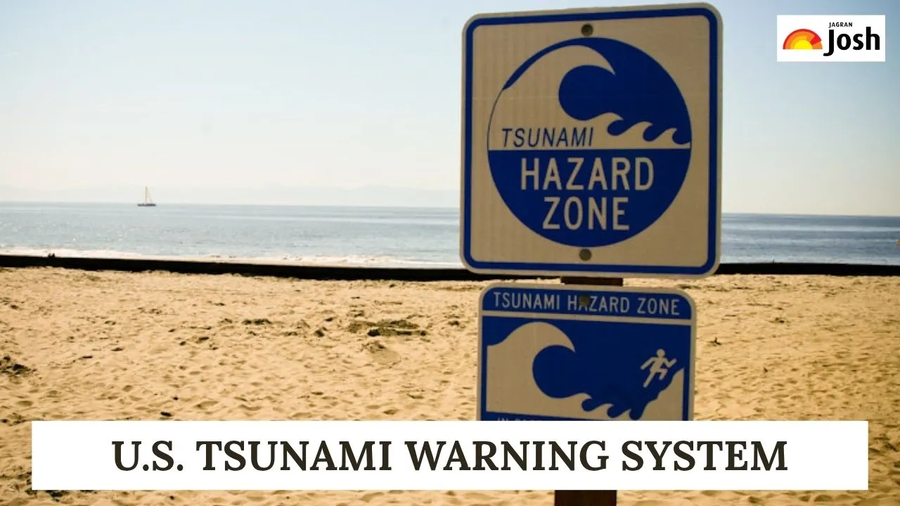
In the US, there are four different levels of tsunami alerts: Warning, Advisory, Watch, and Information Statement. Tsunami warnings are disseminated by the centres via NOAA Weather Radio, NOAA websites, wireless emergency alerts, and local radio and television. This system acts as the nation's primary defence against the devastating power of tsunamis, providing crucial seconds and minutes for evacuation. Learn more about the official sources and websites through which a Tsunami can be detected timely manner.
Check Out: What is the cause behind West Coast Tsunami Warnings in the U.S.?
What Happened in Hawaii?
The 8.8-magnitude earthquake off the eastern Kamchatka area of Russia hit Hawaii with an initial giant wave. Just six hours after the earthquake, the first waves arrived on the West Coast on Wednesday morning. According to the National Weather Service, tsunami waves usually reach their maximum two hours after arrival and then progressively diminish. The Big Island of Hawaii had flooding, but there were no reports of extensive damage. On Maui's north shore, waves as high as 5.7 feet above sea level were observed.
Therefore, tracking these dynamic and powerful waves through official warning systems is critical to preventing widespread devastation and saving lives.
List of Official Sources to Track Tsunami Alerts
When a tsunami threat emerges for U.S. coastlines, relying solely on social media or unverified news can be dangerous. There are certain official sources through which you will get the most accurate and up-to-date information directly from the emergency management agencies. The sources given below are all part of the NOAA (National Oceanic and Atmospheric Administration), through which you can track the Tsunami warnings and take mitigation measures:
| S.No | Website Name |
| 1. | |
| 2. | National Tsunami Warning Center (NTWC) (via Tsunami.gov ) |
| 3. | Pacific Tsunami Warning Center (PTWC) (via Tsunami.gov) |
| 4. | |
| 5. | |
| 6. |
1. U.S. Tsunami Warning System
This is the definitive federal portal for all official tsunami alerts within the United States. It consolidates information from both U.S. Tsunami Warning Centers and offers real-time updates, maps, and guidance.
2. National Tsunami Warning Center (NTWC)
Located in Palmer, Alaska, the NTWC is responsible for issuing tsunami warnings, watches, advisories, and information statements for the continental United States (including Alaska), and Canada.
3. Pacific Tsunami Warning Center (PTWC)
Based in Ewa Beach, Hawaii, the PTWC covers Hawaii, U.S. Pacific and Caribbean territories (American Samoa, Guam, Northern Mariana Islands, Puerto Rico, U.S. Virgin Islands, British Virgin Islands), and acts as the international forecast centre for the Pacific and Caribbean Basins.
4. National Weather Service (NWS)
As part of NOAA, local NWS offices play a crucial role in disseminating tsunami alerts tailored to specific regions via their websites, NOAA Weather Radio, and social media channels. Their website also provides comprehensive tsunami safety information.
5. Wireless Emergency Alerts (WEA)
These are geographically targeted text messages sent to mobile phones in affected areas, providing immediate, critical warnings.
6. Emergency Alert System (EAS)
This national warning system delivers emergency messages over radio and television broadcasts.
Check Out: Natural Disaster Hotspots: Check the 10 Most At-Risk States in the U.S.
How the U.S. Tsunami Warning System Works?
It is crucial to understand the hierarchy and coverage of these warning centers. While Tsunami.gov serves as the overarching portal but the NTWC and PTWC are the operational hubs that detect potential tsunamis using seismic networks and Deep-ocean Assessment and Reporting of Tsunamis (DART) buoy systems.
These DART buoys are a key technological marvel that follows a detection technology and measures the changes in sea level accurately in the deep ocean. It furthyer allows for an early detection and deliver more precise forecasts. You must always adhere to instructions from local emergency management officials, as they will provide specific evacuation routes and shelter information for your area.
By familiarising oneself with these official channels, U.S. residents in coastal areas can significantly enhance their preparedness and safety. Staying informed through verified sources is the most effective way to respond to a tsunami threat.


-1766145347216.jpg)
Comments
All Comments (0)
Join the conversation