The United States, a vast nation stretching across a continent, is renowned for its incredible climatic diversity. From the deserts of the Southwest to the icy tundras of Alaska, and the humid subtropics of the Southeast to the mild, rainy Pacific Northwest, the United States is a land of extreme temperatures. It showcases both the planet's coldest and hottest recorded points. In northern Alaska, the climate is overwhelmingly tundra and arctic, where temperatures have plunged to an astonishing −80 °F (−62 °C). On the complete opposite side of the spectrum, Death Valley, California, holds the official record for the highest temperature ever documented on Earth, reaching a blistering 134 °F (56.7 °C) according to National Oceanic and Atmospheric Administration (NOAA) .
This remarkable range is a product of factors such as extensive latitudinal spread, the influence of major ocean currents, mountain ranges, and the vast interior landmass. Delve into these distinct climate zones of the U.S. and comprehend its diverse ecosystems and implications. Delve into these distinct climate zones of the U.S. and comprehend its diverse ecosystems and implications.
Check Out: Seasons of the Year in the United States: What Season is It in US Now?
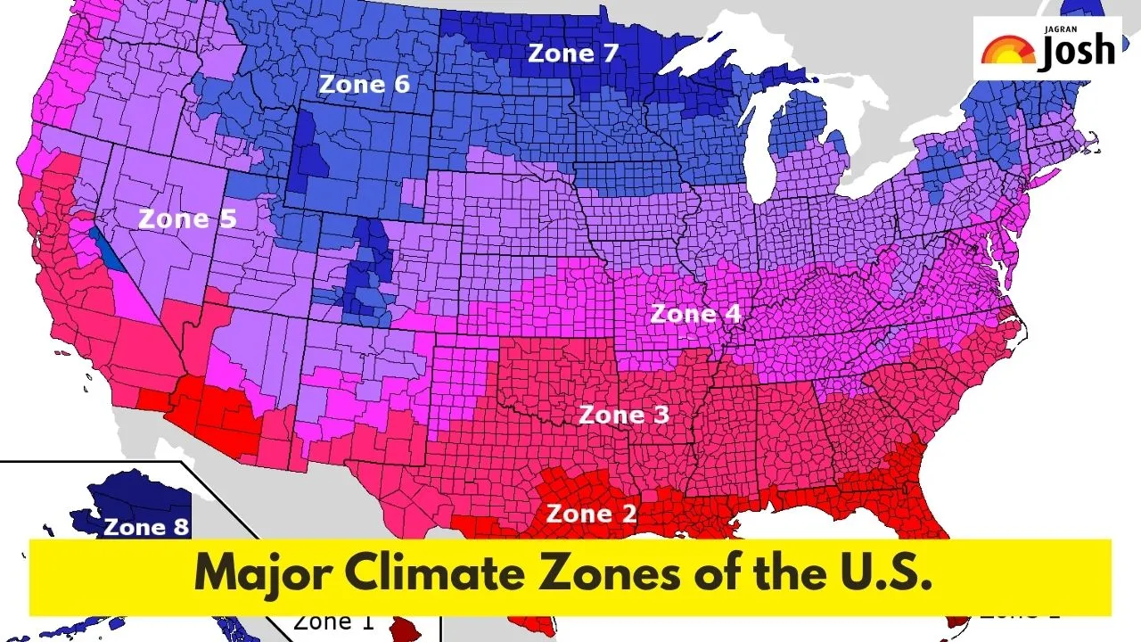
What are the Major Climate Regions in the U.S.?
While scientific classifications like Köppen are vital, and a more common way to understand U.S. climates. The climate region in the United States is divided into separate geographical regions, each with its specific weather patterns. Below are climate areas:
1. Northwest Coastal
The Northwest Coastal region, spanning the coastal areas of Washington, Oregon, and Northern California, is dominated by a Marine West Coast climate. This means that it has a year-long feature to light temperatures, with cool summers and wet, often cloudy winters. With less seasonal variation than other areas, the rainfall throughout the year is consistent throughout the year, due to large-scale moderating effects of the Pacific Ocean, and rarely experiences highly warm or cold temperatures.
2. High Plains
The High Plains experiences a semi-arid to continental climate, and this region is known for significant temperature extremes, with common hot summers and very cold winters. It comprises states like Montana, Wyoming, Colorado, North Dakota, South Dakota, Nebraska, Kansas, and parts of Oklahoma and Texas. Precipitation is relatively low, often arriving in the form of thunderstorms in summer and blizzards in winter. Typical weather includes strong winds, wide temperature swings, and a susceptibility to droughts and severe weather like tornadoes.
3. Midwest
The Midwest encompasses states like Ohio, Indiana, Illinois, Michigan, Wisconsin, Minnesota, Iowa, and Missouri. It is defined by a Humid Continental climate, and residents here experience four distinct seasons. The climate is characterised by warm to hot, humid summers and cold, often snowy winters. Precipitation is distributed throughout the year, leading to highly variable temperatures depending on the season.
4. Mid-Atlantic
This zone keeps on transitioning as the Mid-Atlantic region experiences a climate primarily ranging from Humid Subtropical to Humid Continental. It includes states such as New York, New Jersey, Pennsylvania, Delaware, Maryland, Virginia, and West Virginia. Summers are typically hot and humid, while winters vary from mild to cold with occasional snowfall. This region distinctly experiences all four seasons, with common weather patterns including heavy snow or rain, heatwaves in summer, and generally variable conditions.
5. Southeast
The Southeast covers states like North Carolina, South Carolina, Georgia, Florida, Alabama, Mississippi, Louisiana, and parts of Arkansas and Tennessee. It is dominated by a Humid Subtropical climate, and features long, hot, and very humid summers with abundant rainfall. Winters are generally mild and short, with snowfall being a rare occurrence. High humidity, frequent afternoon thunderstorms in summer, and susceptibility to hurricanes during the season are typical weather characteristics.
6. South (Interior/South Central)
The South (Interior/South Central) generally refers to inland areas of the Southern states, not directly on the coast. It includes parts of Texas, Oklahoma, Arkansas, and Louisiana. Its climate varies from Humid Subtropical to semi-arid in its western reaches. Hot summers are standard, and winters are mild. This region is famously part of "Tornado Alley," thus people here experience long, hot summers. It also includes severe thunderstorms and tornadoes, particularly in spring and early summer.
7. Southwest
The Southwest is characterised by primarily Arid and Semi-Arid climates. It comprises Arizona, New Mexico, Utah, Nevada, and parts of California, Colorado, and Texas. This translates to very hot summers and mild winters, with significant daily temperature variations between day and night. Precipitation is scarce, and it includes intense sunshine, very low humidity, dust storms, and flash floods during the monsoon season.
8. Alaska and Hawaii
Finally, Alaska exhibits a range from Subarctic to Polar climates. It includes the Tundra and Ice Cap zones, which lead to long and extremely cold winters. This impacts the summer to be short and cool. In contrast, Hawaii features Tropical Wet (Rainforest) and Tropical Wet-and-Dry (Savanna) climates. This offers warm temperatures year-round with abundant rainfall.
How Do Geographical Features Influence U.S. Climates?
The diverse geography of the U.S. plays a critical role in shaping its climate regions.
-
Mountain Ranges: The Rocky Mountains and Sierra Nevada/Cascade Range create significant "rain shadow" effects. The air with moisture from the Pacific is forced upwards, cools, and drops its precipitation on the western slopes, and it leavs the eastern side much drier.
-
Oceans: The Pacific Ocean moderates temperatures along the West Coast, which leads to milder marine and Mediterranean influences. The Atlantic Ocean and Gulf of Mexico contribute significant moisture and warmth to the East and Southeast.
-
Continental Size: The vast interior of the North American continent, particularly the Midwest and High Plains, allows for extreme temperature swings between summer and winter, as there is no moderating oceanic influence.
-
Latitude: The latitudinal expanse from the tropics to the Arctic Circle naturally results in a range from hot, tropical climates in the south. For example, Florida and Hawaii to frigid polar climates in the far north, Alaska.
What are the Practical Implications of U.S. Climate Zones?
The varied US climate zones profoundly impact American life. Different crops thrive in specific areas, creating distinct agricultural belts such as the corn in the Midwest, citrus in Florida, or cattle in the High Plains. This also dictates how homes are built, with architecture adapting to local challenges like heavy Midwest snow, extreme Southwest heat, or Southeast hurricane winds.
Crucially, arid regions, particularly the Southwest and parts of the High Plains, face significant water scarcity, which directly affects urban planning. Moreover, each climate zone has its typical natural disasters, from tornadoes in the Central Plains to wildfires in the dry West and hurricanes along Explore the fascinating climate zones of the United States, including the Northwest Coastal, High Plains, Midwest, Mid-Atlantic, Southeast, South, and Southwest.
Ultimately, climate even shapes regional lifestyles, from outdoor activities to cuisine. The National Oceanic and Atmospheric Administration (NOAA) provides official data on these climate patterns and their effects across the U.S.


Comments
All Comments (0)
Join the conversation