Out of all the rivers in North America, the Columbia River is the largest river flowing into the Pacific Ocean from the region. It is specifically known for its strong currents, beautiful scenery, and significant historical significance. Moreover, you must know that both the United States and Canada's geography has been influenced by this powerful waterway. Its rich past with explorers and Native American tribes, and its mountain origins, play a very pivotal role in generating vast amounts of electricity. This article explores the Columbia River's journey, its fascinating history, and some key facts about its impressive length.
Check Out: GK Quiz on the Lincoln Memorial with Answers
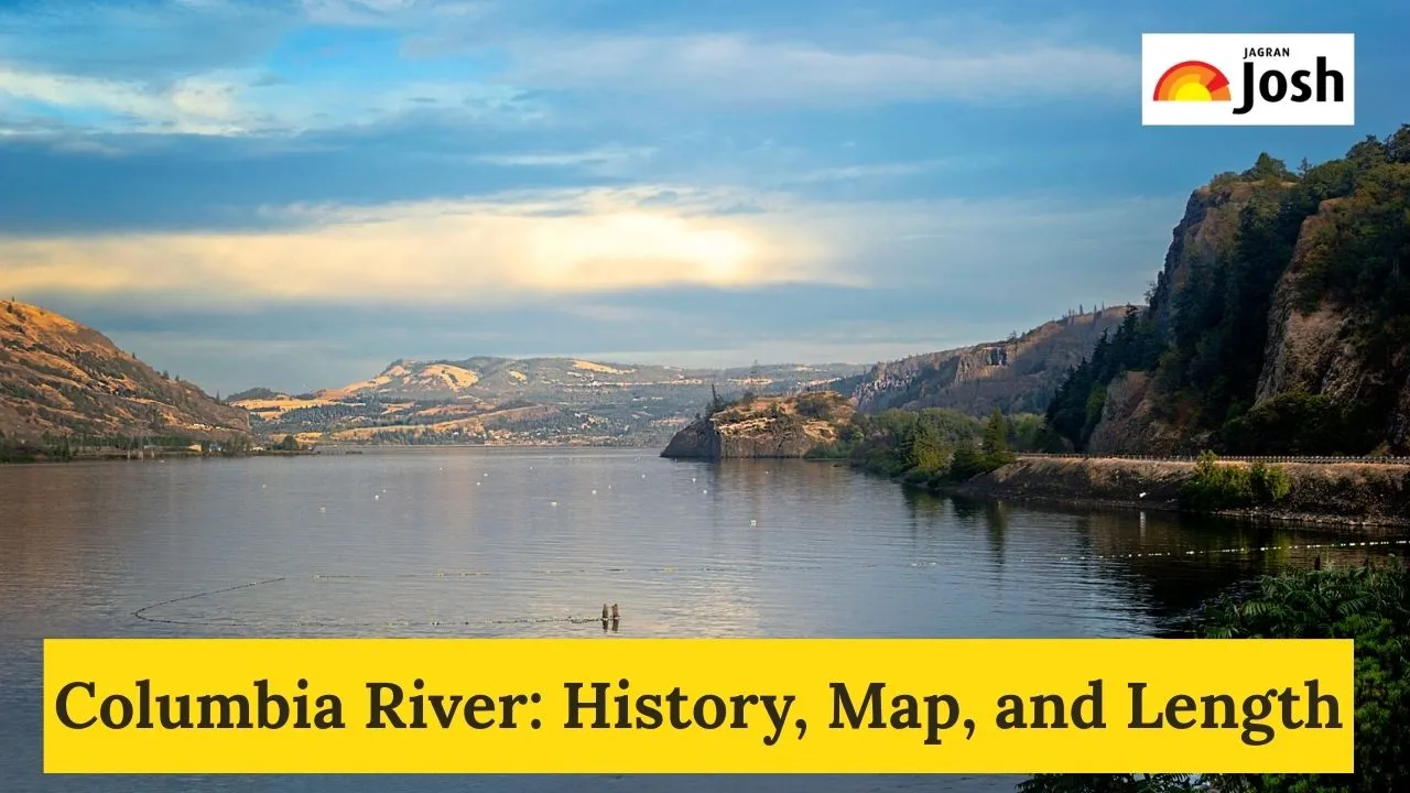
Where is the Columbia River Located on the Map?
The Columbia River begins high in the Rocky Mountains of British Columbia, Canada. From its source, it flows northwest for a significant distance before turning sharply south. It then enters the United States in northeastern Washington State.
After entering the U.S., the Columbia River makes a sweeping curve known as the "Big Bend." It continues south, forming much of the boundary between Washington and Oregon, before finally emptying into the Pacific Ocean at Astoria, Oregon. Its vast drainage basin covers parts of British Columbia, Washington, Oregon, Idaho, Montana, Wyoming, and Nevada.
What is the History of the Columbia River?
The History of the Columbia River is ancient, with various Native American tribes living along its banks for thousands of years, relying on its abundant fish, especially salmon. European contact began in the late 18th century when British explorer George Vancouver and American captain Robert Gray explored its mouth. Gray famously named the river "Columbia" in 1792 after his ship.
In the early 19th century, the famous Lewis and Clark Expedition explored the lower reaches of the Columbia River, reaching the Pacific Ocean in 1805. The river then became a crucial route for fur traders and later for pioneers heading west, playing a vital role in the settlement of the Pacific Northwest. In the 20th century, the river's power was harnessed with numerous dams, transforming it into a major source of hydroelectricity.
What is the Length of the Columbia River?
The Columbia River stretches approximately 2,000 kilometres (1,240 miles), making it one of the longest rivers in North America. It is exceeded in discharge only by the Mississippi, St. Lawrence, and Mackenzie rivers on the continent.
What are the Key Facts About the Columbia River?
Here are some key facts about the Columbia River:
-
Hydroelectric Power: The Columbia River is one of the world's greatest sources of hydroelectric power. Major dams like the Grand Coulee Dam and Bonneville Dam generate vast amounts of electricity, supporting cities and industries across the region.
-
Tributaries: It has many important tributaries, with the Snake River being its largest.
-
Salmon Runs: Historically, the Columbia River was famous for its massive salmon runs. While dam construction has impacted these populations, efforts are ongoing to restore them.
-
Columbia River Gorge: In its lower stretch, the river has carved the spectacular Columbia River Gorge through the Cascade Range, a renowned natural landmark.
-
Navigation: The river remains a vital waterway for shipping, connecting inland areas to the Pacific Ocean.
The Columbia River is a powerful and iconic natural feature, deeply woven into the fabric of the Pacific Northwest's history, geography, and ongoing development.


Comments
All Comments (0)
Join the conversation