States like South Dakota and Minnesota have issued a derecho warning as the Storm Prediction Center has published a Level 4 out of 5 risk storm warning. According to the National Weather Service, some parts in these states can experience severe hail, heavy rainfall and derechos. When severe weather strikes, terms like "tornado" and "hurricane" are widely recognized. However, a less familiar but equally destructive phenomenon known as a "derecho" poses a significant threat, particularly across the Central US weather regions. A derecho is a storm that is a powerful, straight-line wind event associated with a fast-moving group of thunderstorms. It is capable of producing widespread damaging winds comparable to high gusts of tornadoes. These events can travel hundreds of miles, causing extensive storm damage and widespread power outages. Lets understand the definition of Derecho, the primary cause and precaution tips to follow during it.
Read about- What are the U.S. Heat Advisories and What Causes Them? Check Facts Here
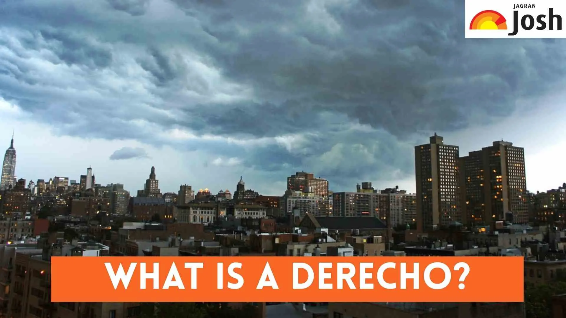
What is the meaning of a Derecho?
A derecho is a widespread, long-lived, straight-line windstorm that is associated with a rapidly moving group of severe thunderstorms. It is characterized by damaging winds and wind gusts of at least 58 mph (93 km/h) along most of its length, with embedded higher wind gusts often exceeding 100 mph. The term "derecho" comes from the Spanish word for "direct" or "straight," referring to the directionality of the wind.
What Can Cause a Derecho?
Derechos are typically caused by a specific type of severe thunderstorm complex called a mesoscale convective system (MCS). For a derecho to form, this MCS must maintain its intensity and forward speed over a large distance. Key atmospheric conditions that contribute to their formation include:
-
Strong steering winds: A powerful jet stream aloft that helps push the storm system rapidly forward.
-
High instability: Warm, moist air at the surface and cooler, dry air aloft create an unstable atmosphere, fueling powerful updrafts.
-
Vertical wind shear: Changes in wind speed and direction with height, which helps organize the thunderstorms into a powerful, linear structure.
-
Cool pool: A cold air mass that develops beneath the storm, enhancing downdrafts and pushing the storm forward like a plow.
How to stay safe during a Derecho?
Staying safe during a derecho involves understanding its rapid onset and destructive potential. Here are key derecho safety tips:
-
Stay Informed: Monitor local weather forecasts and severe thunderstorm warnings. Have multiple ways to receive alerts, such as NOAA Weather Radio, local news, and weather apps.
-
Seek Shelter Immediately: If a derecho is approaching, move indoors to the lowest level of a sturdy building, away from windows. Basements or interior rooms offer the best protection from damaging winds and flying debris.
-
Prepare for Power Outages: Derechos frequently cause widespread power outages. Have flashlights, batteries, a portable charger for phones, and a supply of non-perishable food and water ready.
-
Avoid Vehicles and Mobile Homes: Vehicles, tents, and mobile homes offer little protection from high winds. Seek shelter in a more substantial structure.
-
Be Aware of Falling Hazards: Downed trees and power lines are common after a derecho. Do not approach them. Report hazards to authorities.
Must Read- Historic Heat in Florida: Tampa Reaches 100°F for the First Time
Conclusion
Derechos are formidable windstorms capable of causing widespread destruction and significant power outages across large areas. Understanding the derecho definition, its causes, and vital storm preparedness measures is essential for mitigating risks. By staying informed, seeking immediate sturdy shelter, preparing for loss of power, and being cautious of post-storm hazards, individuals can significantly increase their safety during these powerful straight-line wind events, ensuring better resilience against the devastating impact of damaging winds.


-1762325919932.jpg)
![[Updated] Mayors of New York City From 1665 Till 2025: Check List Here!](https://img.jagranjosh.com/images/2025/11/05/article/image/list-of-nyc-mayors-1762312766992.jpg)
Comments
All Comments (0)
Join the conversation