Snowfall in the US 2025: As the leaves turn and the crisp autumn air takes hold, the biggest question for millions across the country is: When will the first snowfall in the US finally arrive? The anticipation for winter in the US has been heightened this year by significant atmospheric shifts. According to the latest long-range outlooks from leading forecasters, the 2025-2026 season will be strongly influenced by a developing weak La Niña pattern.
This major climate driver typically pushes the polar jet stream south and increases storm activity across the northern tier of the country. If you're wondering, "Where did it snow in the us today?" in the pre-season, the answer often lies in the high mountains.
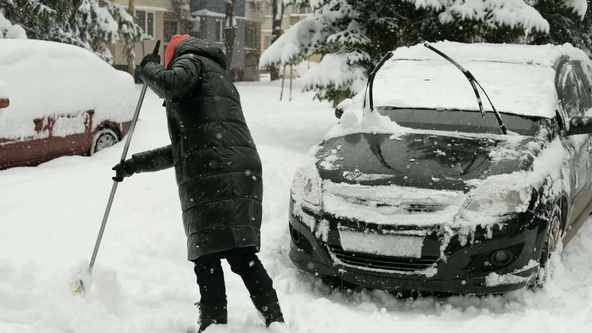
Read on to find out the projected timeline for when snowfall in US states will begin, and which regions should brace for the heaviest totals this winter.
When will the First Snowfall in the US appear in 2025?
It can be hard to predict the first measurable snow because long-range forecasts are just that: probabilities, not guarantees. However, meteorological drivers allow experts to create a clear regional timeline for the arrival of the season’s first flakes.
| US Region / Zone | Estimated First Flakes (Date) | Expected Conditions & Highlights |
| Northern Rockies (MT, WY, CO) | Late September – Early October | First dustings on high mountain peaks. Consistent cold air. |
| Northern U.S. Plains (ND, SD) | Mid to Late October | Arctic air intrusions bring early, significant snow. |
| Pacific Northwest Cascades | Late October – Early November | Moisture from the Pacific and colder air create early mountain snowpack. |
| Upper Midwest & Great Lakes (MN, WI, MI) | Late October – Early November | High potential for early lake-effect snow before the lakes freeze. |
| Northeast States (NY, VT, ME) | Early to Mid-November | First light flakes expected, with first measurable snow likely by early December. |
| Central Plains & Mid-Atlantic (KS, OH, PA, VA) | Mid-November – Early December | Snow chances increase as the jet stream dips south; rain/ice mix possible. |
| Southern Highlands (Appalachians, AR, KY, TN) | Late December – Early January | Snow remains a low-probability event, typically occurring during strong Arctic blasts. |
Must Read: Seasons of the Year in the United States: What Season is It in the US Now?
List of Cities that will Get the Most Snow in the United States this Winter
The influence of the La Niña pattern and the resulting jet stream positioning suggests that the most snowfall in the US this year will be concentrated around the Great Lakes and Northern Rockies. These cities are expected to get the most snow this winter, from 2025 to 2026:
| Rank | City / Region | Projected Seasonal Snowfall (Inches) | Primary Snow Driver |
| 1. | Buffalo, New York | 90 – 100+ | Heavy lake-effect snow from Lake Erie. |
| 2. | Duluth, Minnesota | 80 – 90 | Lake-effect snow from Lake Superior and frequent clipper storms. |
| 3. | Rochester, New York | 75 – 85 | Located in the Great Lakes snowbelt; high impact from Nor’easters. |
| 4. | Minneapolis, Minnesota | 75 – 85 | Frequent exposure to major Midwest snowstorms and Canadian clipper systems. |
| 5. | Salt Lake City, Utah | 60 – 70 | High valley elevation and proximity to the Wasatch Range (ski resorts above the city may see ten times this amount). |
Find Out - When does Fall Start and End in the US in 2025? Check Autumnal Equinox Dates
Why will the Winter in the US be Stormier for the North?
The forecast for a colder, stormier winter in the US across the northern half is not random; it's anchored by major oceanic and atmospheric phenomena.
1. The La Niña Influence
The most significant factor is the expected persistence of a weak La Niña event into early 2026. La Niña, the cooler counterpart to El Niño, is defined by cooler-than-average sea surface temperatures in the equatorial Pacific Ocean.
2. Jet Stream Displacement
La Niña typically leads to a specific jet stream pattern—a high-pressure ridge forming over the Gulf of Alaska, forcing the polar jet stream southward into the northern/central U.S.
3. Storm Track
This southerly dip fuels frequent, fast-moving "Alberta Clipper" systems across the Midwest and increases the chance of powerful Nor’easters along the Atlantic coast, delivering significant snow.
NOAA’s National Weather Service Winter Outlook has been released.
— National Weather Service (@NWS) October 16, 2025
This outlook shows the likely temperature and precipitation the U.S. could experience during meteorological winter (December 1, 2025 through February 28, 2026) and drought conditions through January 31, 2026.… pic.twitter.com/wM6eQBDDoq
Polar Vortex Watch
Experts also note that other atmospheric signals, such as the behavior of the stratospheric Polar Vortex, suggest increased volatility. A weakened or unstable Polar Vortex can allow frigid Arctic air to spill far south into the continental United States, creating the cold conditions necessary for the heavy snowfall forecasted in the Midwest and Northeast.
Also Read - Diwali in US 2025: Which 3 States Now Recognize Diwali as a Holiday? Check List
The 2025-2026 outlook indicates that winter is starting early in the Northern Rockies and moving rapidly into the Northern Plains and Great Lakes by late October. Driven by a weak La Niña, regions like Buffalo, New York, and the Upper Midwest should prepare for a snowy and intense season. Now is the time for homeowners and travelers to finalize preparations, as the arrival of the first snowfall in the US is right around the corner.


Comments
All Comments (0)
Join the conversation