Which River Splits the U.S. in Half?
The Mississippi River is the primary geographic reference line separating the eastern and western US. Extending over 2,300 miles, this vital waterway has historically driven commerce, settlement, and westward expansion, with its basin covering nearly 40% of the continental U.S.
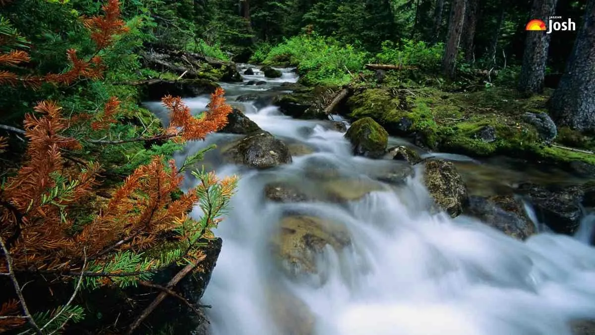
The United States is a large country with various landscapes, extending from the Atlantic Ocean on the east coast to the Pacific Ocean on the west coast. It has some of the strongest and greatest natural features on earth, such as mountain ranges, plains, deserts, and extensive river systems, which all contributed to the history and evolution of the country.
Historically, rivers have been an essential means of movement, commerce, farming, and settling communities throughout the United States. Rivers have been used to divide large areas into geographic regions for the sake of ease of comprehension and use; one of these rivers is the river running north and south through the center of the country, which generally divides the country into two primary geographic divisions.
Which River Splits the U.S. in Half?

The Mississippi River is frequently mentioned as dividing the US at its central portion, extending from northern Minnesota to the Gulf Coast of Mexico (in Louisiana). Though it does not strictly divide the country evenly, it serves as the primary geographic reference line separating the eastern US from the western US.
The Mississippi River has served as a transportation route, trading route and area of settlement for centuries. Due to its tremendous length and geographic location, it is one of the largest natural features in North America and has become a symbol of our country’s natural landscape, dividing its east and west.
Interesting Facts About the Mississippi River
- At more than 2,300 miles in length, the Mississippi River is the second longest river worldwide. As one of the longest rivers in the world, the Mississippi River has an extremely large expanse and provides significant habitat for various species and ecosystems, including some of North American's largest urban areas, as well as a variety of aquatic species such as fish and other invertebrates.
- Throughout history, the river has been a vital part of all aspects of American society: it has played a significant role in early exploration, it was heavily used by Native Americans when they first settled North America; and it paved the way for westward expansion of the U.S.
- The majority of major metropolitan areas located within and/or close to the Mississippi River's basin have developed because they reside upon and thrive from the river's commerce, transportation, and agricultural values.
- The Mississippi River basin represents nearly 40% (approximately 1,940,000 square miles) of the total land area of the continental U.S., making it one of the three largest drainage basins in the country.

Ayukta Zisha is an education journalist with over three years of experience in digital media. A graduate of St. Xavier’s College, she holds a Master’s degree in English along with a certification in Digital Marketing from IIT Delhi. Backed by a strong academic foundation in the humanities, she specializes in creating educational and general knowledge content across history, geography, literature, and current affairs. During her tenure at Jagran Josh, she worked extensively on U.S. news and global developments, curating informative and engaging content for a diverse readership. Her subject expertise and ability to simplify complex topics enable her to make complex information accessible to a wide audience. Beyond journalism, Ayukta is an avid reader and a published author.