Sugauli Treaty vs Lipulekh Dispute: What Does the 1816 Agreement Actually Say?
The 1816 Sugauli Treaty is at the heart of the India-Nepal Lipulekh, Kalapani, and Limpiyadhura dispute. Learn what the treaty actually says, why the Kali River's origin remains contested, and how the centuries-old agreement continues to shape India-Nepal border claims in 2026.
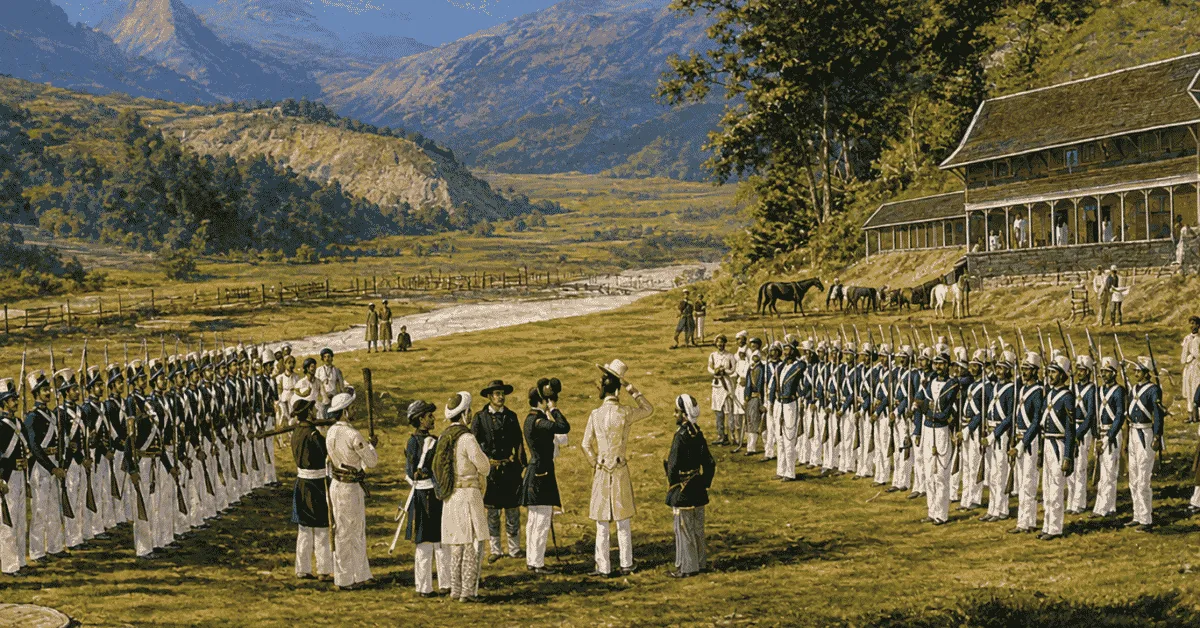
The dispute between India and Nepal regarding the remote mountain border. Lipulekh, Kalapani, and Limpiyadhura has become one of the longest standing geopolitical issues in South Asia. The issue is attributed to a document dating back to colonial times, the Treaty of Sugauli of 1816.
While new regional developments and the rise in cross-border pilgrimages and development projects have escalated tensions again, New Delhi and Kathmandu base their opposing claims on the same provisions of the treaty.
What are the terms of the document of 1816 and how does a paper created during colonial times still influence modern South Asian relationships?
Historical Context: The Roots of the 1816 Treaty
The Sugauli Treaty was signed on December 2, 1815 and then ratified on March 4, 1816. This treaty formally ended the Anglo-Nepalese conflict (1814-16) between the expanding British East India Company and the Kingdom of Nepal (Gorkha Empire).
Having lost the war, Nepal had no option but to cede almost one-third of its land to the British, giving up many of its territories in the east such as Sikkim and in the west such as Kumaon, Garhwal, and parts of Terai. The intervention by the British changed forever the political contours of the Himalayas and decided the future international boundaries between modern India and Nepal.
What the Sugauli Treaty Really Means (The Text of the Treaty)
Although the Sugauli Treaty includes various articles listing provisions related to trade, sovereignty, and other issues, Article V contains something important in the ongoing border conflict.
The full text of Article V reads "The Rajah of Nipal renounces for himself, his heirs, and successors, all claims or connections concerning the territories lying west of the River Kali and engages never to have any concerns or relationship with those territories or the people inhabiting there".
Moreover, Article III shows what lands have been ceded to the British and that Nepal gave up control over territories located to the east of Kali River.
The core of Ambiguity: Where Exactly is the Source of the Kali River?
The agreement appears clear with regards to what’s written: Kali River is the western boundary of Nepal. Yet, there is a geographical fact of vital importance that is missing in the treaty, specifically its origin.
Since there are lots of rivers and glacial streams on the Himalaya mountain range, both sides interpret the source differently and use various maps
-
Nepal’s Interpretation (The Limpiyadhura Source): Kathmandu believes that the real source of the Kali River is much more northwestern with the waters being in the area of the Limpiyadhura range. And believes that that Limpiyadhura, Kalapani and Lipulekh are all located to the east of Kali; thus, they belong to Nepal.
-
India’s Interpretation (The Kalapani/Lipulekh Source): New Delhi insists that the Kali originates from a less significant stream closer to the Kalapani springs and underground sources.
-
Hence, the area is to the east from the mentioned line belongs to the Pithoragarh district in Uttarakhand State which means that Lipulekh is unquestionably a part of India.
Present Context and Latest Updates
The territorial conflict restarted due to India and China coordinating activities on either side of the boundary and conducting pilgrimages. Nepal lodged a formal diplomatic protest against the actions.
India dismissed Nepal's objections as baseless and reiterated its claim that the historic route remains unchanged.
Despite having both countries created many mechanisms to demarcate the borderline, the situation escalated after Nepal published its political map in 2020, which left certain areas like Kalapani unresolved.

Manisha Waldia is a distinguished content strategist with 5 years of experience crafting premium educational content for UPSC and State PCS, with a focus on deep conceptual analysis across Polity, Geography, History, and Environment. She currently brings this expertise to Jagran Josh, where she covers major national and international events, current affairs, and static general knowledge. Over her career, Manisha's specialized insights have led her to curate high-impact materials and serve as a UPSC Mains answer-evaluator for India’s top institutes—including Drishti IAS, Shubhra Ranjan IAS, Study IQ, GS Score, and PWonlyIAS. She has also worked alongside leading NGOs like Oxfam India and Avani Kumaon.
Contact: manisha.waldia@jagrannewmedia.com