
The Andaman and Nicobar Islands is one of the seven union territories of India, are a group of islands at the juncture of the Bay of Bengal and Andaman Sea. It comprises two island groups, the Andaman Islands and the Nicobar Islands, separated by the 10°N parallel. The territory's capital is the Andamanese town of Port Blair. The total land area of these islands is approximately 7,950 km2 (3,070 sq mi). The capital of Nicobar Islands is Car Nicobar.
First Inhabitants
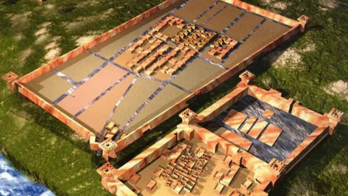
The earliest archaeological evidence yet documented goes back some 2,200 years. However, genetic and cultural studies suggest that the indigenous Andamanese people may have been isolated from other populations since some time during the Middle Paleolithic, which ended 30,000 years ago. Since that time, the Andamanese have diversified into distinct linguistic, cultural and territorial groups.
Barren Island (Andaman Islands)
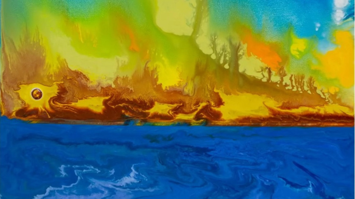
Barren Island is located in the Andaman Sea, one of the most easterly Islands of the Andaman Islands. It is the only confirmed active volcano in South Asia. Along with the rest of the Andamans, it is a part of the Indian Union Territory of Andaman and Nicobar Islands, and lies about 135 km (84 mi) northeast of the territory's capital, Port Blair. The first recorded eruption of the volcano dates back to 1787. Since then, the volcano has erupted more than ten times, with the most recent one which started in September 2010 and continued through January 2011.
Location
This volcanic island stands in the midst of a volcanic belt on the edge of the Indian and Burmese tectonic plates. Narcondum is a dormant volcano in the area, apart from volcanic seamounts like Alcock and Sewell.

Source: barefootholiday.com
Facts about the Andaman and Nicobar Islands:
| Area | 7,950 km2 (3,070 sq mi) |
| Establishment | 11 Nov. 1956 |
| Population | 380,500 (Census 2011) |
| Principal official Language | Dominant Bengali Official: Hindi English Major spoken languages Tamil Malayalam Nicobarese |
| Neighbouring States | Sea |
| Capital and largest city | Port Blair |
| Members of Parliament | Lok Sabha= 21 ,Rajya Sabha= 0 |
| Legislature | None |
| Airports | Port Blair |
| Major Cities | Shyam Nagar, Nabagram, Mayabunder, Uttara, Checkpoint, Herbertahad, Bamboo Flat,Wrightmyo, Port Meadows, Wandoor. |
| Economy Size | Size of the state economy; US$ 1.204 billion, A total of 48594 hectares of land is used for agriculture purposes. There are 3 newspaper and 22 periodicals and 316 schools. Installed capacity of power generation is 30,000 kw with all revenue villages are electrified. |
| Industries | There are 1421 registered small scale villages units ie. Fish processing factory, soft drinks, beverages, PVC conduit pipes, paints. |
| Crops | Rice, Pulses, Coconuts, Arecanut, Coffee,Sugarcane |
| Literacy | 86.27 % |
| Districts | 3 |
| Sex Ratio (Census 2011) | 878/ Thousand male |
| Density | 46 Persons/km2 |
| Sanctuaries | Mahatma Gandhi Marine National Park, Barren Is, Narcondum Is, North Reef Is, South Sentinel |
| Island | Havelock,Neil, Jolly Bouy, Cinque, Red Skin, Chidiya Tapu (Bird Island), Viper Island |
| Beaches | Corbyn, Cove, Radha Nagar, Cutbert Bay, Karmatang, Ross & Smith, Wandoor Beach |
| Religion (Census 2011) | Hinduism (69.44%) Christianity (21.27%) Islam (8.51%) Sikhism (0.33%) Buddhism (0.08%) Jainism (0.008%) Other or not religious (0.5% |
: Facts at a Glance")


Comments
All Comments (0)
Join the conversation