
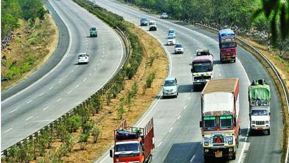
National Highways Authority of India (NHAI) was set up in 1988 under the Act of Parliament. NHAI is responsible for development, maintenance and management of Highways in India. It started functioning under the aegis of its Chairman and Members in February 1995.
The total length of Natioanl Highways in increased from about 91,287 km in 2014 to about 142,126 km in 2019. India has the second largest road network across the world.
How the numbers are assigned to National Highways in India:-
1. For all the national highways from North to South, even numbers are used and it is assigned from East to West in the ascending order. In other words, for high longitudes, lower numbers and for lower longitudes high numbers are assigned. As, NH-2 is located in North Eastern States and NH-68 is located in Rajasthan.
For Example: NH-8 Delhi to Mumbai (via Jaipur, Ahemdabad and Vadodra)

2. For all the highways from East to West, odd numbers are assigned. In this case, the highways are named in ascending numbers from East to West. In other words, for high latitudes, lower numbers and for lower latitudes higher numbers are assigned. For example, NH-8 is located in J&K and NH-87 is located in Tamil Nadu.
For Example: NH-11 Agra, Jaipur, Bikaner

3. For all the important highways, one or two digit numbers are used.
What is National Highway and Expressway in India?
4. If we move from East to West, the numbers used for highways located in the North to South direction increases. For example, if number four is used for a highway located on North South but in a Eastern State, then the number for a highway located on North to South but in a Central State or Western State will always be denoted by more than four.
5. Highways which are denoted by three digit numbers are known as subsidiary highways. For Example, 244, 144, 344 are the branches of National Highway number 44. In the subsidiary highway number, if the first digit is odd, then the highway is located from East to West and if the first digit is even, it is located from North to South.

6. The sections of the subsidiary highways are denoted by placing a letter, A, B, C or D in the three digit number to ease the identification.
| Classification of Roads | Responsible Authority | Distance (KMs) |
| National Highways
| Road Transport and Ministry of Highways | 97,991 (1.79%) |
| State Highways | State Public Works Department and Union Territories | 1,67,109 (3.05%) |
| Other Roads of Central Public Works Departments | State Public Works Department and Union Territories | 1,101,178 (20.12%) |
| Rural Roads | Panchayats, Jawahar Employmeny Scheme and Prime Minister Rural Roads Scheme | 3,33,7255 (61%) |
| Urban Roads | Local Government and Municipal Corporations | 4,67,106 (8.54%) |
| Projects Roads | Government offices of various States and UTs, Border Roads Organization, New Delhi Municipal Corporation, Steel Authority of India Limited | 301,505 (5.50%) |
| Total | N/A | 5.472,144 (100%) |
List of Important National Highways in India:-
| Highway Number | States through which it passes |
| National Highway No. 1 | Jammu and Kashmir (URI, Baramulla, Kargil, Srinigar and Leh) |
| National Highway No. 2 | Assam, Nagaland, Manipur, Mizoram: (Dibrugarh, Sivnagar, Wokha, Imphal, Kohima, Mokokchung |
| National Highway No. 3 | Punjab, Himachal Pradesh, Jammu & Kashmir (Atari, Amritsar, Jalandhar, Hoshiarpur, Hamirpur, Mandi, Kullu, Manali) |
| National Highway No. 4 | Andaman & Nicobar Island (Mayabandar, Port Blair, Chidiatapu) |
| National Highway No. 5 | Punjab, Chandigarh, Haryana, Himachal Pradesh (Firozepur, Moga, Jagraon, Ludhiana, Chandigarh, Kalka, Solan, Shimla, Thiyog, Narkanda, Rampur) |
| National Highway No. 6 | Meghalaya, Assam, Mizoram (Zorabat, Shillong, Badarpur, Kolasib, Aizawl, Badarpur, Panchgram |
| National Highway No. 7 | Punjab, Chandigarh, Haryana, Himachal Pradesh, Uttrakhand (Fazilka, Abohar, Bhatinda, Barnala, Sangroor, Patiala, Panchkula, Raipur Rani, Dehradoon, Rishikesh, Devprayag, Rudraprayag, Karnaprayag, Chamoli, Badrinath) |
| National Highway No. 8 | Assam, Tripura (Karimganj, Agartala, Udaipur) |
| National Highway No. 9 | Punjab, Haryana, Delhi, Uttar Pradesh, Uttrakhand (Dabwali, Sirsa, Fatehabad, Hisar, Haansi, Rohtak, Bahadurgarh, Delhi, Gaziabad, Moradabad, Rampur, Bilaspur, Rudrapur, Tanakpur, Pithoragarh) |
| National Highway No. 10 | Sikkim, West Bengal (Siliguri, Kalimpong, Gangtok) |
| National Highway No. 11 | Rajasthan (Jaisalmer, Pokharan, Bikaner, Ratangarh, Fatehpur) |
| National Highway No. 12 | West Bengal (Raiganj, Malda, Farakhha, Barhampur, Krishnanagar, Ranaghat, Baarasaat, Kolkata) |
| National Highway No. 19 | Delhi, Haryana, Uttar Pradesh, Bihar, Jharkhand, West Bengal (Delhi, Mathura, Agra, Kanpur, Allahabad, Varanasi, Mohania, Aurangabad, Asansol, Kolkata) |
| National Highway No. 20 | Bihar, Jharkhand, Odisha (Bakhtiyarpur, Bihar Sharif, Navada, Hazaribagh, Ranchi, Khooti, Chakradharpur, Chaibasa) |
| National Highway No. 21 | Rajasthan, Uttar Pradesh ( Jaipur, Dausa, Bharatpur, Agra) |
| National Highway No. 24 | Gujarat, Rajasthan, Madhya Pradesh, Uttar Pradesh, Bihar, West Bengal, Assam (3507 Kms); (Porbandar, Udaipur, Chittaurgarh, Kota, Shivpuri, Jhansi, Kanpur, Lucknow, Faizabad, Gorakhpur, Gopal ganj, Muzaffarpur, Darbhanga, Araria, Purnia, Siliguri, Guwahati, Dispur, Silcher) |
| National Highway No. 44 (Longest NH in India) | Jammu & Kahsmir, Himachal Pradesh, Punjab, Haryana, Delhi, Uttar Pradesh, Madhya Pradesh, Maharashtra, Telangana, Andhra Pradesh, Karnataka, Tamil Nadu (3,745 Kms); (Srinagar, Jammu, Pathankot, Ludhiana, Ambala, Karnal, Panipat, Delhi,Faridabad, Mathura, Agra, Gwalior, Jhansi, Nagpur, Adilabad, Nizamabad, Hyderabad, Kurnool, Bengaluroo, Dharmpuri, Selam, Madurai, Kanyakumari. |
| National Highway No. 48 | Delhi, Haryana, Rajasthan, Gujarat, Maharashtra, Karnataka, Tamil Nadu (2807 Kms); (Delhi, Jaipur, Kishangarh, Chittaurgarh, Udaipur, Ahemadabad, Vadodra, Ankaleshwar, Mumbai, Thane, Pune, Satara, Kolhapur, Bengaluru, Krishnagiri, Vellore, Chennai |
| National Highway No. 53 | Gujarat, Maharashtra, Chhattisgarh, Odisha ( 1781 Kms); (Surat, Jalgaon, Bhusawal, Akola, Amaravati, Nagpur, Bhandara, Devri, Rajanandgaon, Durg, Raipur, Saraipalli, Baargarh, Sambhalpur, haridaspur, Paradeep Port |


-1755982033484.jpg)
-1755980833029.jpg)

Comments
All Comments (0)
Join the conversation