Indian Meteorological Department has issued warnings for Cyclone Sitrang’s formation process in the Bay of Bengal. Reports say that the undercurrent cyclone will have an adverse impact on the Indian mainland specifically on the eastern, northeastern, and southern parts. And downpours can severely affect the joy and brightness of the Diwali celebration.
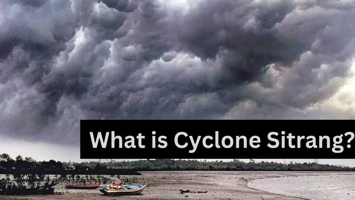
What is Cyclone Sitrang?
Sitrang is the second massive cyclonic storm this year after Cyclone Asani that had formed in the Bay of Bengal in early May. As per the latest update, the system currently exists as a low-pressure area over the north Andaman Sea and the adjoining areas of the south Andaman Sea and the southeast Bay of Bengal.
Ahead, it is anticipated to move west-northwestward, concentrate over east-central and adjacent southeast BoB about October 22, and then move into a deep depression on October 23.
Then, by the following Monday, October 24, it is anticipated to recurve northward and strengthen into a Cyclonic Storm across west-central and adjacent east-central BoB. Sitrang will be the name of the system as it intensifies into a cyclone.
On October 25, it will gradually move north-northeast, skirting the coast of Odisha and getting dangerously close to the shores of West Bengal and Bangladesh.
The projections have remained diverse for different models, much like for the place of landfall. The GFS anticipates the system will strike the coast of eastern Bangladesh early Tuesday morning as a Severe Cyclonic Storm, while the ECMWF predicts Sitrang to make landfall on West Bengal-Bangladesh beaches by Wednesday afternoon as a Cyclonic Storm (63-88 kmph) (89-117 kmph).
What will be the impact of cyclone Sitrang?
The met team at The Weather Channel said that even before Cyclone Sitrang touches down over India or Bangladesh, the damp onshore winds around the system will begin to affect the weather in the area surrounding the Bay.
From Friday to Sunday, October 21-23, the IMD has already forecast widespread light to moderate rain with sporadic heavier rainfall (64.5 mm-115.5 mm).
Although not in the way they had hoped, the eastern states of Odisha and Gangetic West Bengal appear to be in for an explosive start to Diwali, and the entire holiday week may probably be rainy.
Next Monday and Tuesday, October 24 and 25, and possibly later, they can expect scattered to moderately widespread showers, isolated heavy to very heavy downpours (64.5 mm-204 mm), thunderstorms, and lightning. The precipitation across Gangetic West Bengal could intensify much more on Wednesday (October 26), resulting in exceptionally heavy rainfall (204 mm).
In the northeast, places like Nagaland, Manipur, Mizoram, and Tripura will likely have a few isolated, extremely severe rainstorms on Wednesday in addition to isolated heavy showers on Monday and Tuesday.
What are the early warnings of Cyclone Sitrang?
The IMD has issued an orange alert ('be prepared' for harsh weather') for Monday and Tuesday over West Bengal and Odisha in light of these forecasts. These notifications might extend more and possibly be increased as next week gets closer.
Additionally, the wind speeds in the Bay of Bengal are forecast to be 40 to 50 kph with gusts up to 60 kph on Friday, 45 to 50 kph with gusts up to 60 kph in the north, east, and center on Saturday, 50 to 60 kph with gusts up to 70 kph on Sunday, 60 to 70 kph with gusts up to 80 kph on Monday, and 65 to 75 kph with gusts As a result, it has been recommended that fishermen stay out of the water as long as the storm lasts.


Comments
All Comments (0)
Join the conversation