The Arctic is the northernmost region of Earth. Most scientists define the Arctic as the area within the Arctic Circle, a line of latitude approximately 66.3° north of the Equator.
Within this circle are the Arctic Ocean basin and the northern parts of Scandinavia, Russia, Canada, Greenland, Iceland and the U.S. state of Alaska.
The Arctic is almost entirely covered by water, much of it frozen. Some frozen features, such as glaciers and icebergs, are frozen freshwater.
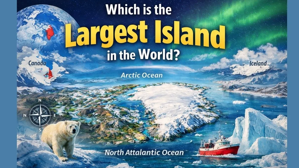
But, in the Arctic Region, there are islands located here, and you will be surprised to know that this is the largest island in the world, which is located in the Arctic region between the North Atlantic and Arctic Oceans, east of the Canadian Arctic Archipelago.
So, let’s explore this article in more detail to know about the largest and biggest island in the world.
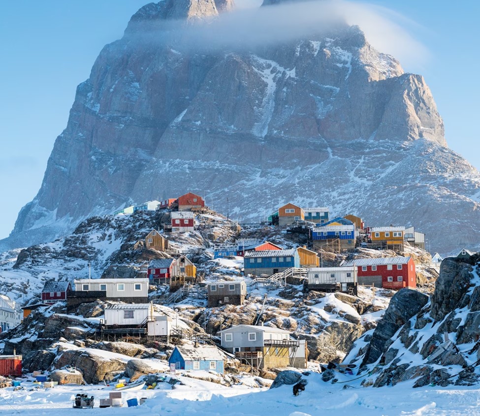
Source: Justin Foulkes
Which is the Largest Island in the World?
Greenland is officially the largest island on Earth that is not classified as a continent.
It is known locally as Kalaallit Nunaat, which means “Land of the People”.
This vast Arctic landmass is defined by its ice-covered interior, dramatic coastlines, and a unique political identity within the Kingdom of Denmark.
-
Largest island (excluding continents)
-
Population: Approx. 56,000
-
Extensive self-rule with ties to Denmark
-
Around 80% covered by ice and snow
Quick facts table
| Parameters | Details |
| Local name | Kalaallit Nunaat |
| Political status | Autonomous territory |
| Population | ~56,000 |
| Ice coverage | ~80% |
| Capitals distance | ~3,500 km (Nuuk–Copenhagen) |
Is Greenland a country?
No, Greenland is not a fully independent country; it's a self-governing territory within the Kingdom of Denmark, having significant autonomy but still part of the Danish realm, with Denmark handling foreign policy and defence.
Where is Greenland located?
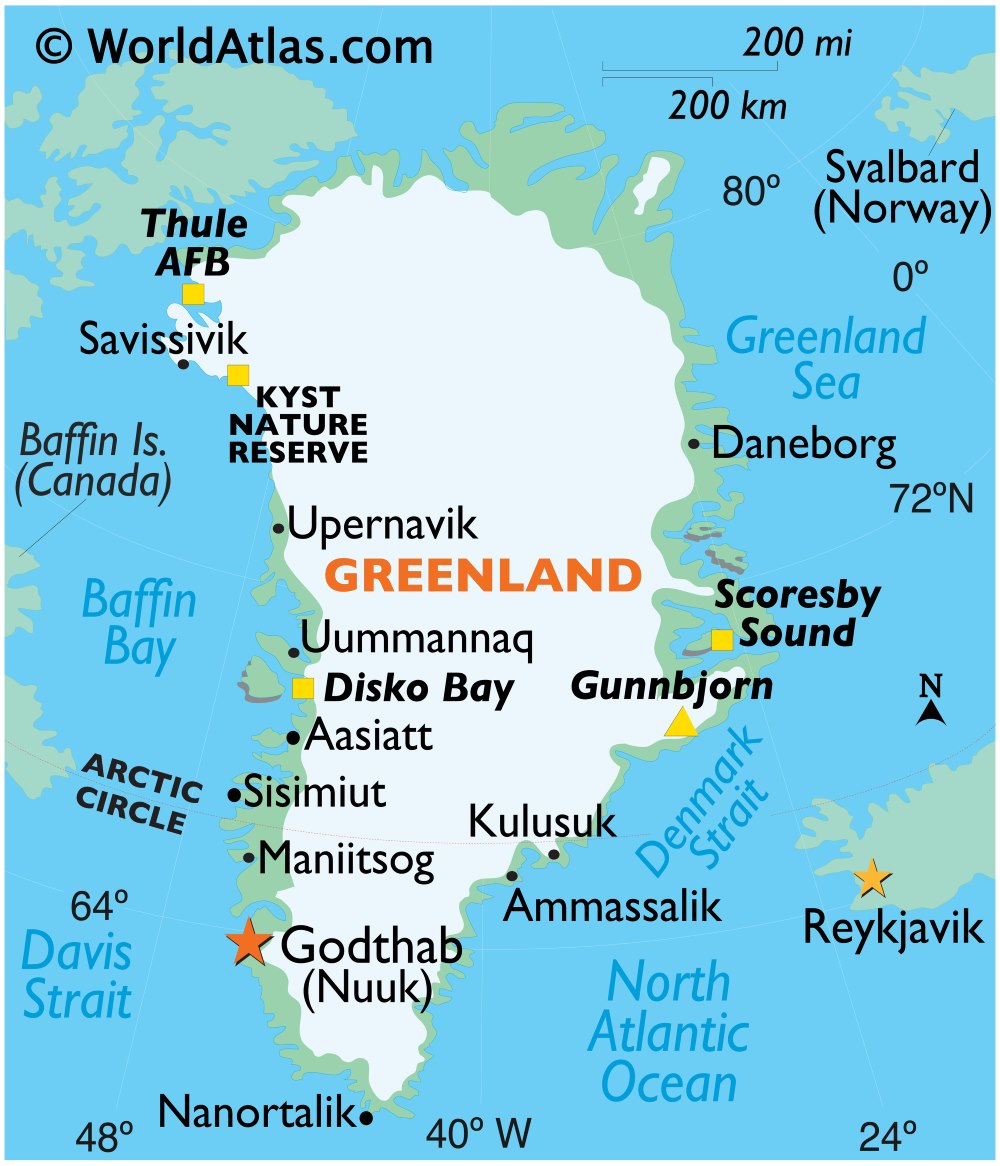
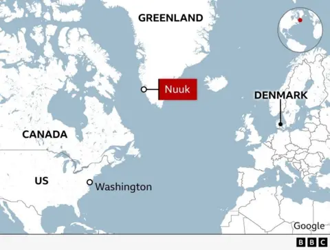
Greenland is the largest Island in the world, which is situated between the Arctic and Atlantic Oceans, northeast of Canada and west of Iceland, with the majority of it existing above the Arctic Circle.
Source: World Atlas
Geographically, Greenland belongs to North America; it is an autonomous state of the Kingdom of Denmark, which has a huge ice cover, an Arctic climate, and a low population density that is concentrated on ice-free coasts.
Key Locations & Neighbours
-
North America: This is geographically part of the North American continent, which is separated from the Ellesmere Island of Canada by a distance of 16 miles.
-
Europe: Europe is politically connected with Denmark (Europe) and borders Iceland in the southeast.
-
Oceans: It is situated between the Arctic Ocean to the north and the North Atlantic Ocean to the south/east.
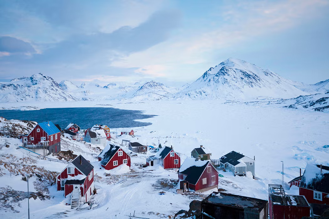
Source: The Conversation
Geography of Greenland
-
Size: It is the largest island in the world, three times larger than Texas.
-
Ice Sheet: The Greenland Ice Sheet, which is the second largest in the world, covers approximately 80 per cent of this island.
-
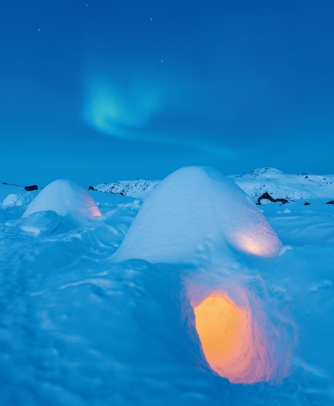
Climate: Arctic to subarctic with cold winters, cool summers, most of the island north of the Arctic Circle.
How is Greenland Politically Connected to Denmark?
Despite the vast physical distance, Greenland has shared political and cultural links with Denmark for nearly a thousand years. It remained a Danish colony until 1953, after which it became an integral part of the Danish state. Over time, Greenland gained increasing autonomy.
Source: BBC
Surprising Facts You Should Know About Greenland
-
The sun never sets from May 25 to July 25
-
June 21 is the longest day and a national holiday
-
July is usually the only month with temperatures above freezing
-
Local name Kalaallit Nunaat means “Land of the People”
Source: Justin Foulkes
In conclusion, Greenland is not only the largest Island in the world, but it is so much more than that.
It is the place where primaeval culture collides with contemporary ruling, the ice makes the scenery and the way of life, and the old and new can be seen beside the Arctic world.


Comments
All Comments (0)
Join the conversation