
China and India are the two neighbouring countries in Asia. India shares 3488 km of border with China that runs along the states of Jammu and Kashmir, Himachal Pradesh, Sikkim, Uttarakhand and Arunachal Pradesh. Also, the Tibet Autonomous region of China touched border with India. We also know that there are some disputes between both the states related to the boundaries.
The Indian administrative areas of Jammu and Kashmir from Aksai Chin are separated by a line known as Line of Actual Control (LAC) which is one of the disputed border areas between India and China.
The Border Guarding Force at Indo-China Border is the Indo-Tibetan Border Police Force (ITBP). Along the line of Actual Control, ITBP has established Border Out Posts (BOPs). A total of 173 BOPs have been established by the ITBP on this border. The details of BOPs are as follows:
| Name of the Sector | No. of BOPs |
| Western Sector (Jammu and Kashmir) | 35 |
| Middle Sector (Himachal Pradesh, Uttarakhand) | 71 |
| Eastern Sector (Sikkim and Arunachal Pradesh) | 67 |
| Total | 173 |
The State-wise length of the borders is as under:
| State | Total Length (in Km) |
| Jammu and Kashmir | 1597 |
| Arunachal Pradesh | 1126 |
| Uttarakhand | 345 |
| Sikkim | 220 |
| Himachal Pradesh | 200 |
| TOTAL | 3488 |
Let us tell you that the border is not fully demarcated and the process of clarifying and confirming the Line of Actual Control is in progress. This area has thick habitation and high altitude terrain which have resulted in inadequate development of infrastructure in these regions.
Which States of India share boundaries with Pakistan?
- Jammu and Kashmir:
Jammu and Kashmir is the northern-most state of India.
- It is bounded to the Northeast by the Uygur Autonomous Region of Xinjiang (China).
- It is bounded to the East by the Tibet Autonomous Region (China) and the Chinese-administered portions of Kashmir.
- It is bounded to the South by the Indian states of Himachal Pradesh and Punjab.
- It is bounded to the Southwest by the Pakistan.
- It is bounded to the Northwest by the Pakistani administered portion of Kashmir.
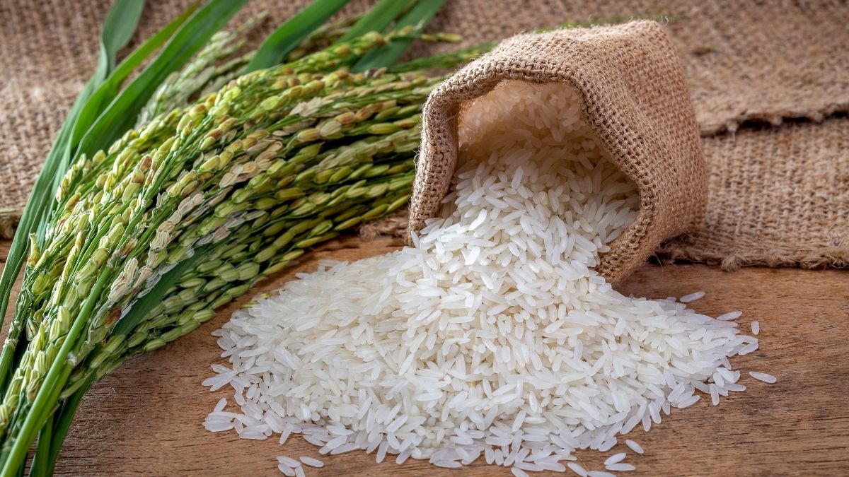
The summer capital is Srinagar and the winter capital is Jammu. Area is 39146 square miles (101,387 square km) and population according to 2011 census is 12,541,302. Literacy rate is 67.16% and languages spoken are Urdu, Dogri, Kashmiri, Pahari, Ladakhi, Balti, Gojri and Dari. The majority of people of Jammu and Kashmir practised subsistence agriculture of diverse kinds on terraced slopes, each crop are adapted to local conditions. Rice, staple crop is planted in May and harvested in late September. Corn, millet, pulses, cotton, rice and tobacco are summer crops. Wheat and barley are chief spring crops. Jammu and Kashmir is famous for its small-scale and cottage industries like carpet weaving, silks, shawls, basketry, pottery, copper, silverware, walnut wood etc.

Source: www.defencelover.in
- Arunachal Pradesh
It lies in the extreme north eastern part of the country and constitutes mountainous area.
- It is bounded to the West by the kingdom of Bhutan.
- It is bounded to the North by the Tibet Autonomous Region of China.
- It is bounded to the South and Southeast by the Myanmar (Burma) and the Indian state of Nagaland.
- It is bounded to the South and Southwest by the Indian state of Assam.
The capital of Arunachal Pradesh is Itanagar. Do you know the meaning of Arunachal Pradesh is "Land of the Rising Sun”? Its area is 32,333 square miles (83,743 square km) and the population according to Census 2011 is 1,382,611. More than half of the population of Arunachal Pradesh are engaged in Agriculture. Literacy rate is 65.38% (2011 Census), Language spoken are Monpa, Apatani, Hill, Miri etc. State bird is Horn Bill, state animal is Mithun, state flower is Fox tail Orchid and state tree is Hollong.
- Uttarakhand
Uttarakhand (Uttaranchal) is located in the Northwestern part of the country.
- It is bounded to the Northwest by Himachal Pradesh.
- It is bounded to the Northeast by the Tibet Autonomous Region of China.
- It is bounded to the Southeast by the Nepal.
- It is bounded to the South and Southwest by the Uttar Pradesh.
The capital of Uttarakhand is Dehradun. Let us tell you that on 9 November, 2000 the state of Uttaranchal was carved out from Uttar Pradesh and it changed the name to Uttarakhand in January 2007. Its area is 20,650 square miles (53,483 square km). The population according to 2011 census is 10,086,292. The average literacy rate of Uttarakhand is 79.63%. Languages spoken are Hindi, Sanskrit, Garhwali, Kumaoni, Jaunsari, Urdu, Bhotiya etc. The climate of Uttarakhand is temperate. The average literacy rate of Uttarakhand (2011 census) is 79.33%. Uttarakhand is also known as Land of Lords or Devabhumi due to plenty of pilgrimage centres and Hindu temples.
- Sikkim
Sikkim is located in the Northeastern part of the country, in the eastern Himalayas.
- It is bounded to the north and Northeast by the Tibet Autonomous region of China.
- It is bounded to the Southeast by Bhutan.
- It is bounded to the South by West Bengal.
- It is bounded to the West by Nepal.
The capital of Sikkim is Gangtok. Its area is 2,740 square miles (7,096 square km). Its population according to 2011 Census is 607,688. Literacy rate is 81.42%. Languages spoken are Nepali, Sikkimese, Bhutia, Lepcha, Limboo, Magar, Rai, Hindi, English etc. Sikkim state is also known for its biodiversity. It has Khangchendzonga National Park. It was inscribed to the UNESCO World Heritage Sites list in July 2016.
- Himachal Pradesh
Himachal Pradesh lies in the extreme northern part of the country.
- It is bounded to the North by the Indian state of Jammu and Kashmir.
- It is bounded to the East by the Tibet Autonomous region of China.
- It is bounded to the Southeast by the Indian state of Uttarakhand.
- It is bounded to the South by the Haryana.
- It is bounded to the west by the Indian state of Punjab.
Himachal Pradesh is a region of scenic beauty as it consists of lofty snow-clad mountains, deep gorges, thickly forested valleys, large lakes, terraced fields and cascading streams. Himachal means "snowy slopes" and Pradesh means "state". The capital of Himachal Pradesh is Shimla. On 25 January, 1971, Himachal Pradesh became a state of India. Its Area is 21,495 square miles (55,673 square km). According to 2011 Census, the population of Himachal Pradesh is 6,856,509. Literacy rate is 68.74% (2011). Languages spoken are Hindi, English, Punjabi, Kinnauri, Pahari, Kangri, Dogri etc. State Animal is Snow Leopard. State Bird is Western Tragopan. State flower is Pink Rhododendron and State tree is Deodar.
These are the Indian states that share boundaries with China.
| Boundary | Name of Indian States |
| China share boundary with: | Jammu and Kashmir Arunachal Pradesh Uttarakhand Sikkim Himachal Pradesh |
Which States of India share boundaries with Bangladesh?
List of Indian States on International Boundaries


Comments
All Comments (0)
Join the conversation