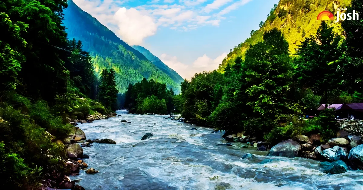
India is home to hundreds of rivers that shape its land, culture, and economy. India has over 400 rivers, divided into Himalayan and Peninsular systems. The Ganga is the longest river, stretching about 2,525 km. The Indus is considered the largest by volume, while the deepest river is the Brahmaputra, known for its powerful flow and depth. Rivers in India are more than water bodies—they are lifelines. They support farming, provide drinking water, and hold religious importance. But do you know which river flows through the most Indian states? It spans multiple regions, touching lives in both the north and the south. It's also one of the oldest rivers in India. In this article, we'll take a closer look at this remarkable river, explore its journey across states, and understand why it stands out among India's mighty waterways.
Which River Flows Through Most States In India?
The river basin that flows through the most states in India is the Ganga (Ganges) basin. The river itself flows through five central states: Uttarakhand, Uttar Pradesh, Bihar, Jharkhand, and West Bengal.
Its journey begins high in the Himalayas, at the Gangotri Glacier in Uttarakhand, where its headstream, the Bhagirathi, joins the Alaknanda at Devprayag to form the main Ganga River. From the mountains, it flows south and then east across the vast plains of North India, collecting numerous large tributaries like the Yamuna.
The river eventually empties into the Bay of Bengal in the massive Ganges Delta in West Bengal and Bangladesh (where it is known as the Padma). This river is considered the lifeline of North India, supporting immense biodiversity and sustaining nearly half of India's population.
States of the Ganga River Course
- Uttarakhand (Origin: Bhagirathi stream from Gangotri Glacier, officially becomes Ganga at Devprayag).
- Uttar Pradesh (Flows through major cities like Haridwar, Kanpur, Prayagraj, and Varanasi).
- Bihar (Flows through Patna and Bhagalpur).
- Jharkhand (Flows through a small stretch in the Sahibganj district).
- West Bengal (Splits into two distributaries near Farakka: the Bhagirathi-Hooghly (which flows into the Bay of Bengal in India) and the Padma (the main stream that enters Bangladesh)).
The Ganga River system, including its tributaries, drains an enormous area known as the Ganga Basin, which covers parts of 11 Indian states, including Himachal Pradesh, Haryana, Rajasthan, and Madhya Pradesh, in addition to the five states mentioned above.
10 Lesser-Known Facts about the Ganga River
- Bifurcation in Bengal: In West Bengal, the river divides; one branch, the Hooghly River, flows south past Kolkata, while the main stream enters Bangladesh as the Padma.
- Ganga's Deepest Point: The river reaches its deepest point, over 100 feet (30 metres), near the city of Patna in Bihar.
- World's Largest Delta: The Ganga and Brahmaputra rivers together form the Sundarbans Delta, which is the world's largest river delta.
- Endangered Dolphin Habitat: It is home to the Ganges River Dolphin, one of the few species of freshwater dolphins in the world, which is now threatened.
- The Name 'Padma': Once it crosses into Bangladesh, the river is no longer called the Ganga but is renamed the Padma River.
- Confluence of Three: At Prayagraj (Allahabad), the Ganga meets its main tributary, the Yamuna, and the mythical Saraswati River at the sacred Triveni Sangam.
- Ice Age River: Evidence suggests that tectonic movements and water flow formed the ancient path of the Ganga from a much larger river system during the last Ice Age.
- National Waterway: A 1,620 km stretch between Prayagraj and Haldia is classified as National Waterway 1 (NW-1), an essential inland transport route.
- Water from Four Sources: The Ganga river system is fed by meltwater from glaciers, rainfall, groundwater, and tributaries from the Peninsular Plateau.
- Tidal Bore: In its lower course in West Bengal, the Hooghly branch sometimes experiences a tidal bore, a strong tide that forms a wave travelling up the river.
- Massive Sediment Load: The Ganga carries a gigantic load of alluvial sediment from the Himalayas. This sediment is deposited over millennia, making the Gangetic Plain one of the most fertile and densely populated regions on Earth.
- Glacial Melt Threat: The Ganga's primary water source is the Himalayan glaciers, often called the "Third Pole". Scientific studies indicate that these glaciers are melting at an unprecedented rate due to climate change, posing a significant long-term threat to the river's flow and water security in the basin.
- Oxygenation Levels: Due to its unique properties, including its effect on organic material, some research has suggested that water from the upper reaches of the Ganga can have significantly higher dissolved oxygen (DO) levels than water from other rivers.


Comments
All Comments (0)
Join the conversation