As India's most populous state, Uttar Pradesh has numerous districts for improved governance. The government has established new districts over time in an effort to manage expanding populations, enhance governance, and improve the availability of services. Districts are occasionally created for unique purposes or occasions. A new district was just added for a special and significant reason associated with a significant event.
Uttar Pradesh: India’s Most Populated State
Uttar Pradesh is the most populated state in India. In the year 2011, its population was about 19.98 crore, which made up around 16.5% of India’s total population at that time. Now, the population has crossed 24 crore. The most populated district in the state is Prayagraj.
Uttar Pradesh is also the fourth-largest state in terms of area. It covers around 240,928 square kilometers, which is about 7.33% of India’s total land area. UP shares its borders with 9 other states and union territories, including Delhi. It has the longest border with Madhya Pradesh and the shortest with Himachal Pradesh.
UP with Most Districts in India
Uttar Pradesh has the highest number of districts in India, with a total of 75 districts. These are grouped into 18 divisions, which fall under four main regions: Purvanchal, Madhyanchal, Paschimanchal, and Bundelkhand.
The state also has a large network of local governance bodies, including:
- 17 Municipal Corporations
- 75 Nagar Panchayats
- 28 Development Authorities
- 826 Development Blocks
- 437 Nagar Panchayats
- Over 58,000 Gram Panchayats
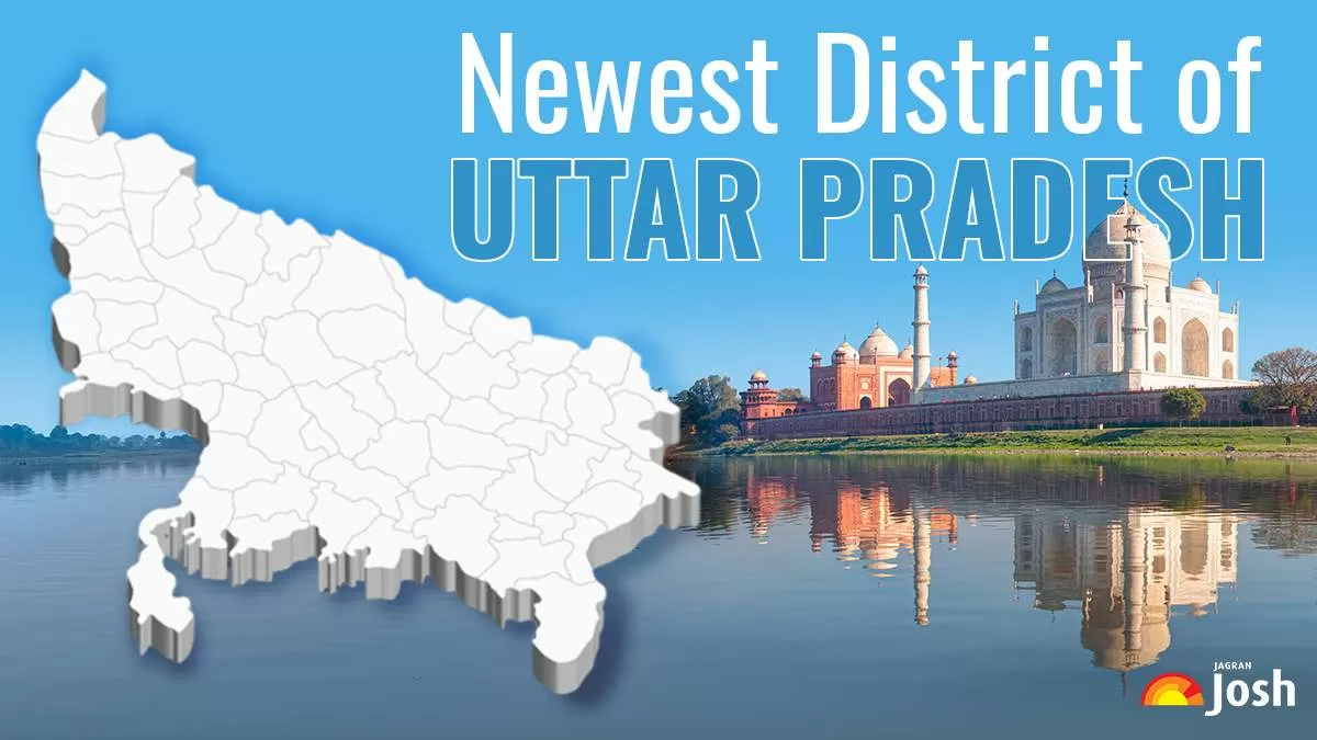
Newest District of Uttar Pradesh
The newest district of Uttar Pradesh is Hapur. It was officially formed on 28 September 2011 and was first named Panchsheel Nagar by the then Chief Minister Mayawati. Later, in 2012, Chief Minister Akhilesh Yadav changed its name to Hapur. Since then, it has been known as the newest district in UP.
ALSO READ: Which District is the Oldest District of Uttar Pradesh?
Hapur: City of Steel and Papad
Hapur city has a history of over 1000 years. It was founded in 983 AD by Raja Hari Singh and was originally named Haripura. The name slowly changed over time and became Hapur.
Today, Hapur is the smallest district in Uttar Pradesh, covering an area of just 660 square kilometers. It is located about 60 kilometers from Delhi.
Hapur is also known as "Mini Jallianwala Bagh" because of its role in the 1857 revolt. Many brave freedom fighters from this area stood up against British rule, making the city historically important.
Hapur city is mainly known for its steel industry. It is also famous for its papads, which are popular in many other states. Because of this, Hapur is often called the "City of Steel and Papad."
In addition to steel and papads, the city also produces tubes, which are supplied to various parts of the country.
Where is Hapur Located?
Hapur is a part of the Meerut Division and is situated in western Uttar Pradesh. It is a key location for trade and transport because of its proximity to the Ganges River and the national capital. The river facilitates local business and farming, particularly the trading in grain and jaggery.
ALSO READ: What is DIGIPIN and How to Check It Online - Complete Guide


-1766159625283.jpg)
-1766128662526.jpg)
Comments
All Comments (0)
Join the conversation