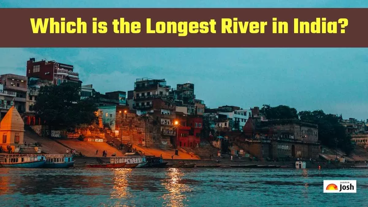
Longest River in India: The Ganga River, commonly referred to as the Ganges, is India's longest river. It flows roughly 2,525 kilometres (1,569 miles) from its origins at the Gangotri Glacier in the Himalayan mountains to its confluence at the Bay of Bengal. It flows across five Indian states and provides water and livelihoods for millions of people.
What does longest river mean?
Longest river means the longest stretch of river from its source to the mouth of the river. The Ganga originates from the Gangotri Glacier and flows southeast across the fertile plains of Northern India, then trends east, finally merging with the Bay of Bengal, forming the Sundarbans Delta, the world's largest delta.
Is the Ganga River special?
The Ganga is not only the longest river in India but also one of the most sacred rivers on the planet. It is worshipped by millions of Hindus, considered the goddess of the river, and a means of purifying sins. The Ganga has seen the rise and fall of great civilizations on its banks, and it provides sustenance for vast agricultural land across the Indian subcontinent.
What Importance Does This Name Have?
The name ‘Ganga’ is the name of purity and life. The river supports millions of people, giving water for drinking, agriculture and industry. The river also represents cultural and spiritual significance, with many pilgrimage sites found along its route.
More Amazing Facts About the Ganga River
- The Ganga River travels through five Indian states and supports nearly 400 million people.
- The major tributaries of the Ganga River include the Yamuna, Son, Gomti, Ghaghara, and Kosi rivers.
- The Sundarbans Delta, where the Ganga River meets the Bay of Bengal, is the world's largest tidal delta.
- The Ganga River forms the centre of many religious practices and is featured in many Indian literary and mythological texts.
- The Kumbh Mela, which is the largest religious gathering in the world, occurs along the banks of the Ganga.
Longest Rivers in India
| Rank | River Name | Length (km) | Origin | End Point | States Covered |
| 1 | Ganga | 2,525 | Gangotri Glacier, Uttarakhand | Bay of Bengal | Uttarakhand, Uttar Pradesh, Bihar, Jharkhand, West Bengal |
| 2 | Godavari | 1,465 | Trimbak, Maharashtra | Bay of Bengal | Maharashtra, Telangana, Andhra Pradesh, Chhattisgarh, Odisha |
| 3 | Krishna | 1,400 | Mahabaleshwar, Maharashtra | Bay of Bengal | Maharashtra, Karnataka, Telangana, Andhra Pradesh |
| 4 | Yamuna | 1,376 | Yamunotri Glacier, Uttarakhand | Ganga at Prayagraj | Uttarakhand, Haryana, Delhi, Uttar Pradesh |
| 5 | Narmada | 1,312 | Amarkantak Plateau, Madhya Pradesh | Arabian Sea | Madhya Pradesh, Maharashtra, Gujarat |
| 6 | Indus (Indian portion) | 1,114 | Kailash Range, Tibet | Arabian Sea | Jammu & Kashmir, Ladakh |
| 7 | Brahmaputra (Indian portion) | 916 | Angsi Glacier, Tibet | Bay of Bengal (via Bangladesh) | Arunachal Pradesh, Assam |
Top 7 Longest Rivers in India:
Ganga (Ganges) River
The Ganga is India’s longest river, running for a total of 2,525 km from the Gangotri Glacier in Uttarkhand to the Bay of Bengal. It flows through Uttar Pradesh, Bihar, Jharkhand and West Bengal. The river is worshipped as the holiest river in Hinduism and is also critical to both agriculture and water supplies.
Godavari
The Godavari is the next longest river in India. The Godavari is 1,465 km long, and it originates at Trimbak in the state of Maharashtra, and it confluences with the Bay of Bengal. The river flows through the states of Telangana, Andhra Pradesh, Chhattisgarh, and Odisha and is a vital source of water for irrigation and farming in southern India.
Krishna
The Krishna River is 1,400 km long and starts from Mahabaleshwar in Maharashtra, flows through the states of Karnataka, Telangana and Andhra Pradesh, and ends at the Bay of Bengal. The Krishna river plays an important role in agriculture and provides a number of dams that serve irrigation across the Deccan Plateau.
Yamuna
The Yamuna River is 1,376 km long and starts at the Yamunotri Glacier in Uttarkhand and flows to the Ganga at Prayagraj. The Yamuna flows through Haryana, Delhi and Uttar Pradesh and is also a significant source of water for drinking and agriculture in northern India.
Narmada
The Narmada River is 1,312 km long and originates from the Amarkantak Plateau in Madhya Pradesh and flows westward to the Arabian Sea. The river flows through the states of Madhya Pradesh, Maharashtra and Gujarat, and this river is the source of life for Central India.
Indus
While the Indus River primarily flows through Pakistan, a significant portion of its length (approximately 1,114 km) flows through India. Originating in the Kailash Range in Tibet, it enters India in Jammu & Kashmir and Ladakh before continuing into Pakistan and finally emptying into the Arabian Sea. It's a crucial water source for these regions.
Brahmaputra
The Brahmaputra River, though originating from the Angsi Glacier in Tibet, flows for about 916 km through India. It enters India in Arunachal Pradesh and then flows through Assam before entering Bangladesh and merging with the Ganga to form the Meghna, which then flows into the Bay of Bengal. It's known for its vastness and plays a vital role in the ecosystem and economy of Northeast India.
Conclusion
This is an article about the longest rivers of India. The facts are taken from Unacademy. Click on this link to read about Which Is The Largest Bridge In The World?


Comments
All Comments (0)
Join the conversation